 See all 6 photos
Upload your photo
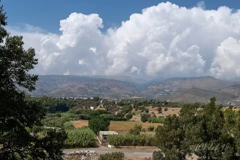
Sierra de la Contraviesa
No reviews yet
Do you like this place? Be the first to vote
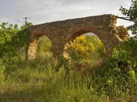
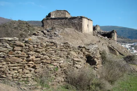
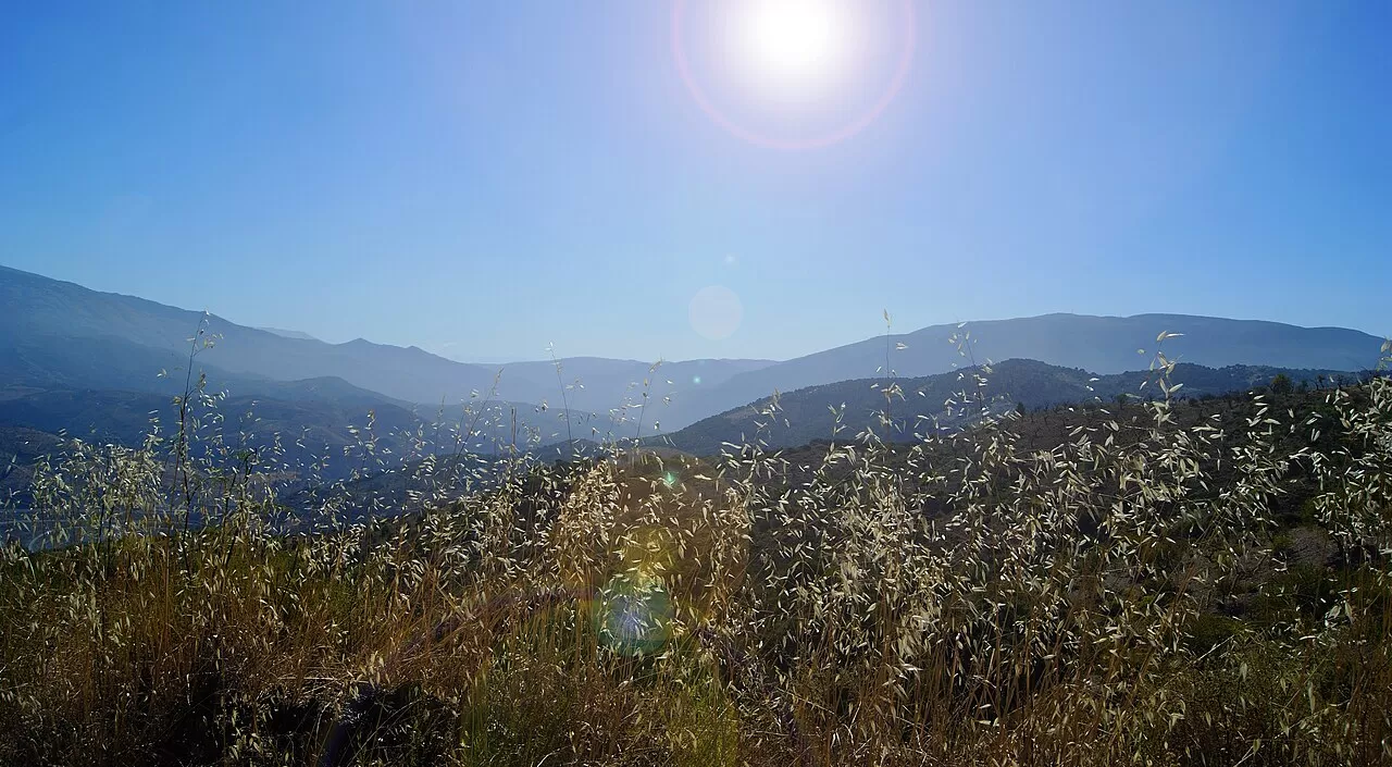
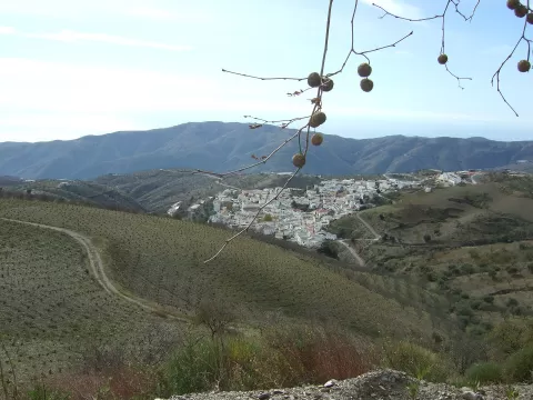
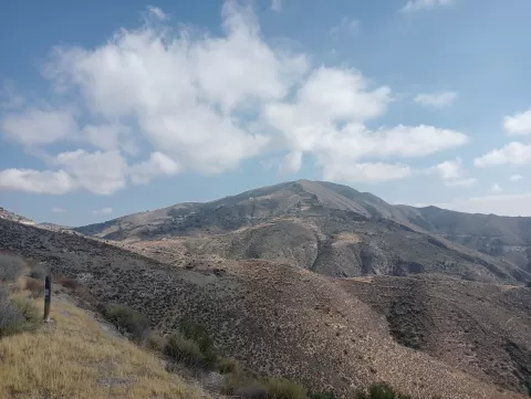
The Contraviesa runs parallel to Sierra Nevada between the Guadalfeo river and the Alboran Sea, in the Lower Alpujarra. Almost all of it is in the province of Granada, with only a small part in Adra (Almería). Its highest peaks are El Salchicha, at 1,545 metres, and the Cerrajón de Murtas, at 1,514; the rest is hills, ravines and dry riverbeds.
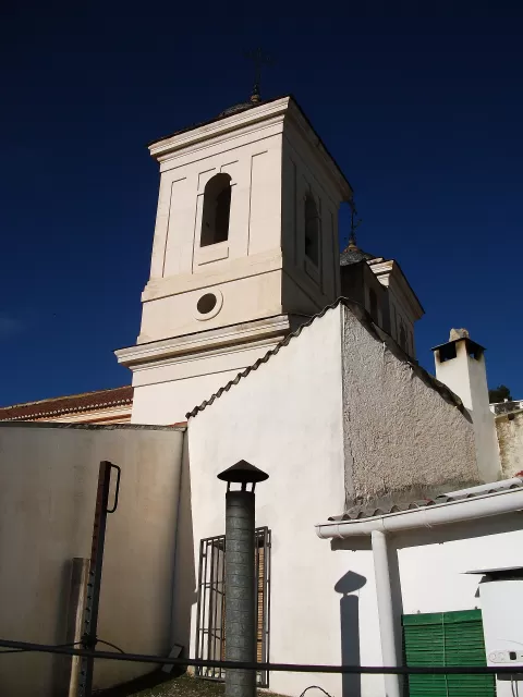
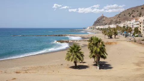
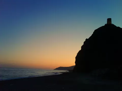
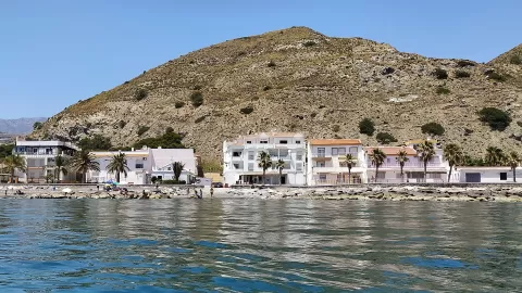
It is shared between municipalities such as Cádiar, Ugíjar, Murtas, Albuñol and Rubite. The villages on the south side look down on the sea from on high, and on the coast lie places such as La Mamola, Melicena and La Rábita. Almond trees, vines and fig trees abound in the farmed areas.
From anywhere in the range, looking north, you can see Sierra Nevada, Mulhacén and Veleta. The defining photo combines the slopes of vines and almonds in the foreground with the peaks behind, more striking with snow on top. Looking south, the sea closes the background.
What Sierra de la Contraviesa has to offer
More viewpoints in Almería More hiking trails in Almería
Best time to photograph Sierra de la Contraviesa today, 21 November
- Sunrise7:57 – 8:57golden hour
- Sunset17:00 – 18:00golden hour
- Blue hour18:00 – 18:28at dusk
At sunrise and sunset, low-angled light brings out the landscape's texture. Arrive 20 minutes early to get a good spot.
Hashtags for your photos of Sierra de la Contraviesa
Upload your photo with #fotoMap and help more people discover this spot. The one with the most votes becomes the cover photo.
Reviews of Sierra de la Contraviesa
Nobody has said what it's like yet. Have you been? Be the first to tell us.
Write a review