 See all 6 photos
Upload your photo
Sierra de Grazalema Natural Park
No reviews yet
Do you like this place? Be the first to vote
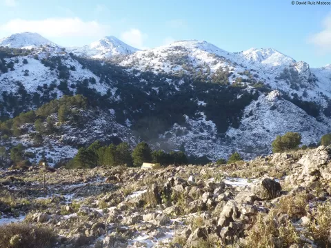
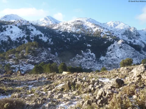
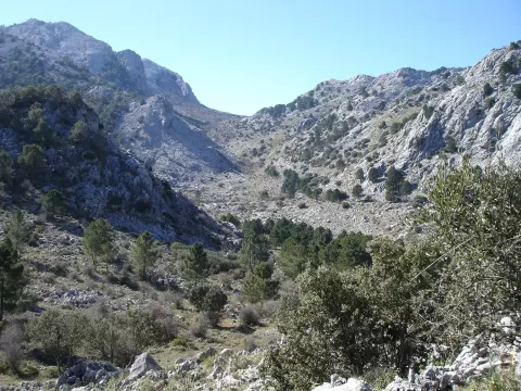
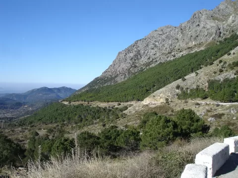
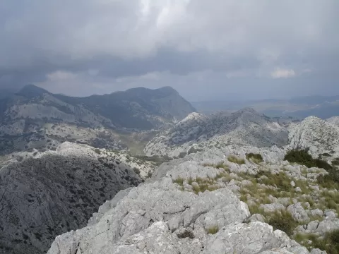
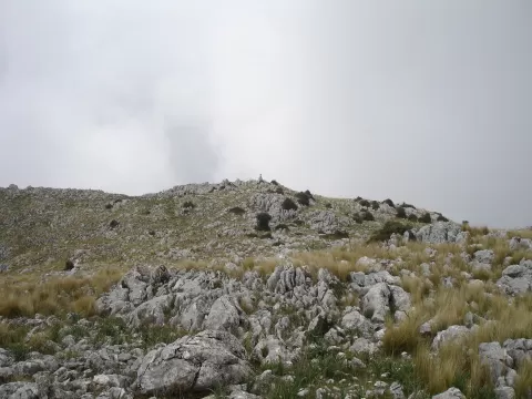
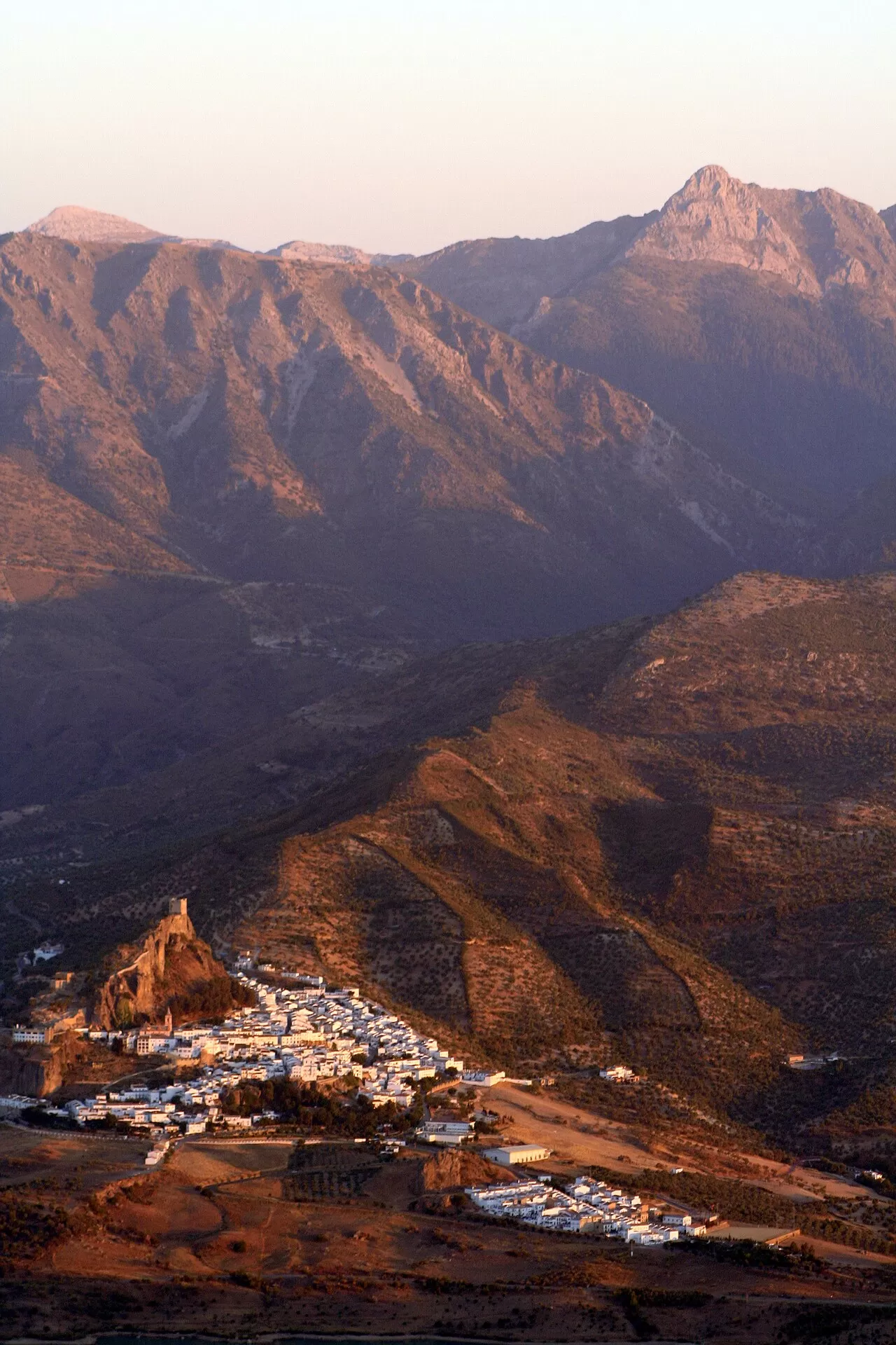
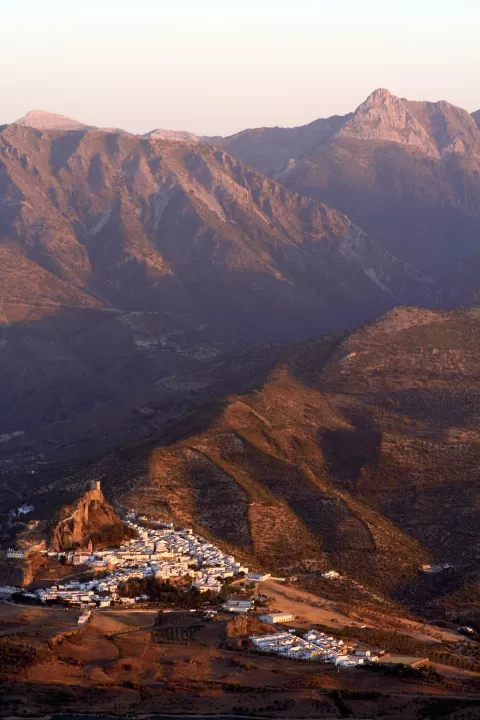
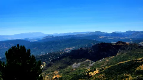
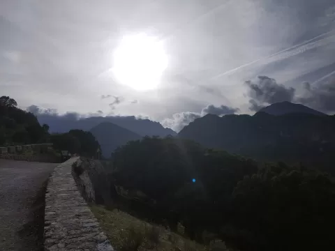
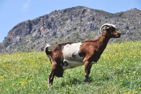
Sierra de Grazalema Natural Park covers about 53,000 hectares between north-eastern Cádiz and the west of the Serranía de Ronda, spread over fourteen municipalities such as Grazalema, Zahara de la Sierra, Ubrique and Benaoján. Its mountains block the humid Atlantic winds, and in some places more than 2,000 litres per square metre fall each year.
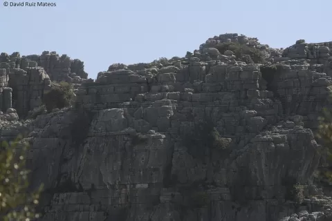
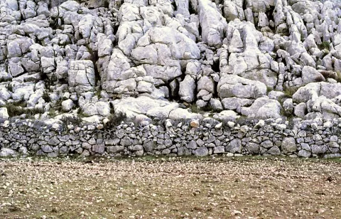
The limestone has produced caves, potholes and gorges: the Garganta Verde, the Sima del Hundidero, where the River Gaduares disappears underground, and the Cueva del Gato, where the water emerges again five kilometres later. The Cueva de la Pileta, with cave paintings, can be visited with restrictions and by the light of oil lamps.
In the Sierra del Pinar grows one of the finest Spanish fir forests in the Serranía de Ronda, a dense, shady wood of this endemic fir. The Boyar and Las Palomas passes have good views of the park.
What Sierra de Grazalema Natural Park has to offer
Best time to photograph Sierra de Grazalema Natural Park today, 21 November
- Sunrise8:05 – 9:05golden hour
- Sunset17:09 – 18:09golden hour
- Blue hour18:09 – 18:36at dusk
Golden hour gives the most beautiful light: warm, soft and with long shadows.
Hashtags for your photos of Sierra de Grazalema Natural Park
Upload your photo with #fotoMap and help more people discover this spot. The one with the most votes becomes the cover photo.
Reviews of Sierra de Grazalema Natural Park
Nobody has said what it's like yet. Have you been? Be the first to tell us.
Write a review