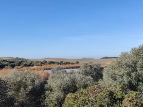
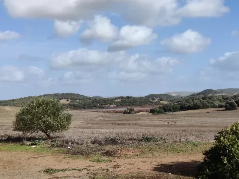
 See all 3 photos
Upload your photo
Sierra de Gibalbín
No reviews yet
Do you like this place? Be the first to vote
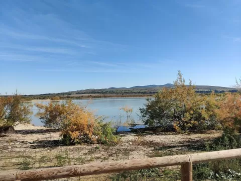
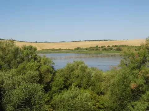
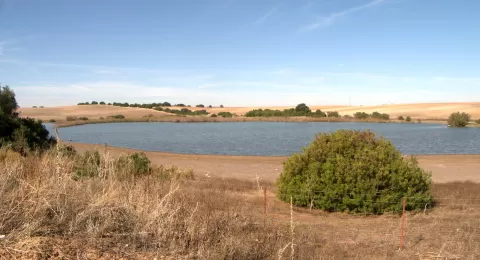
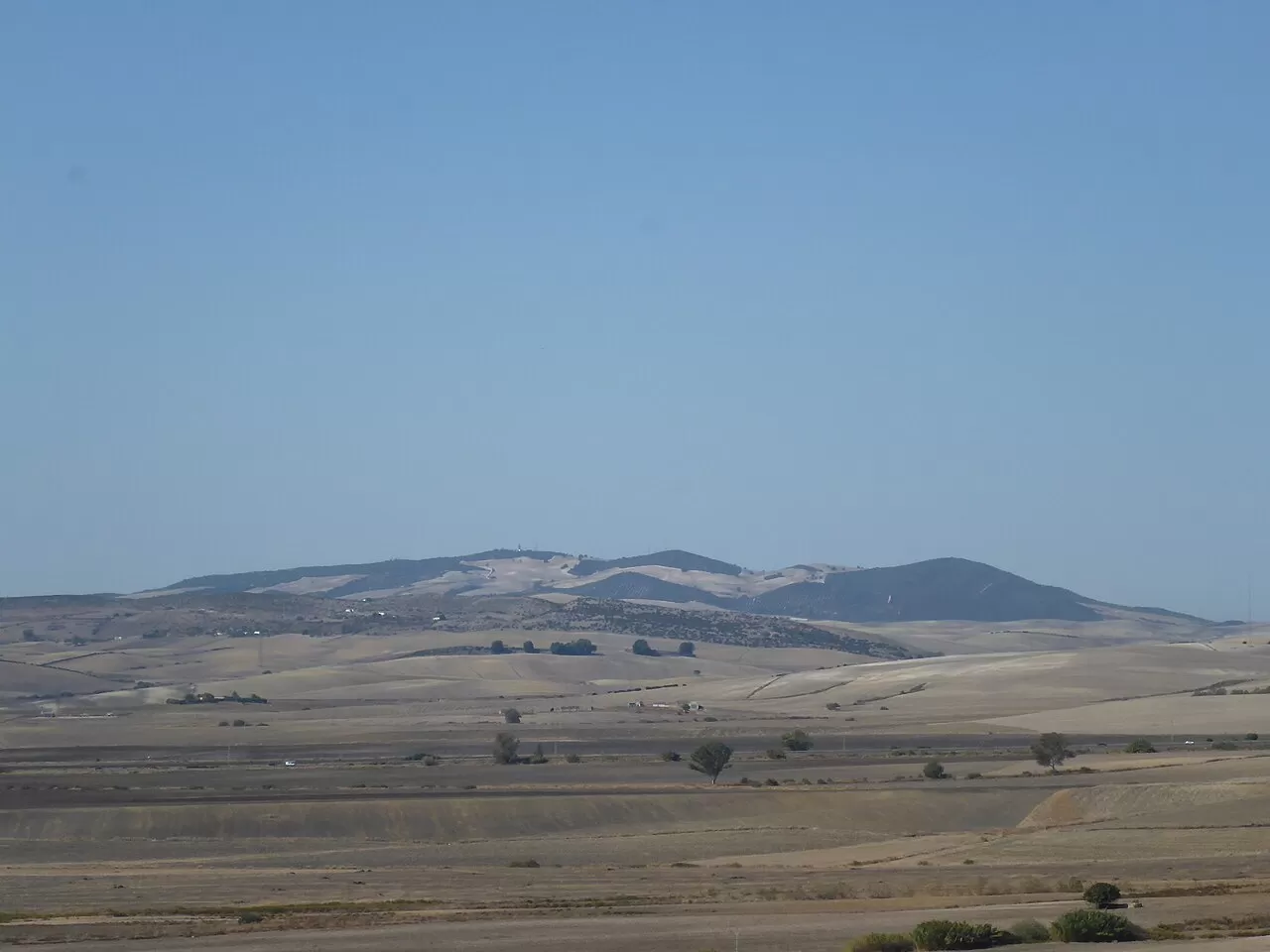
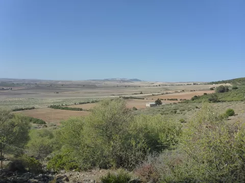
The Sierra de Gibalbín is the westernmost elevation of the Subbaetic system, between the Grazalema massif and the Guadalquivir, in the municipality of Jerez de la Frontera. It is about 20 kilometres long and 15 wide, and its highest point, Monte Gibalbín, reaches 410 metres. Its waters feed the Laguna de los Tollos and the Tempul spring, which used to supply Jerez. Its only woodland is the La Guillena holm oak forest, of about 50 hectares.
It has remains of an Almohad-era castle, and four Roman villas have been found nearby. During the Marinid raids of 1274 to 1284 it served as a base for incursions across the surrounding farmland.
From the summit you can see Jerez and, when the air is clear, the Cádiz shipyards and, to the north, the port of Seville. The low evening light picks out the wheat and sunflower fields of the countryside around it.
What Sierra de Gibalbín has to offer
More viewpoints in Cádiz More hiking trails in Cádiz
Best time to photograph Sierra de Gibalbín today, 21 November
- Sunrise8:08 – 9:08golden hour
- Sunset17:11 – 18:11golden hour
- Blue hour18:11 – 18:39at dusk
At sunrise and sunset, low-angled light brings out the landscape's texture. Arrive 20 minutes early to get a good spot.
Hashtags for your photos of Sierra de Gibalbín
Upload your photo with #fotoMap and help more people discover this spot. The one with the most votes becomes the cover photo.
Reviews of Sierra de Gibalbín
Nobody has said what it's like yet. Have you been? Be the first to tell us.
Write a review