 See all 6 photos
Upload your photo
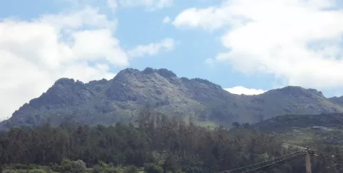
Sierra de Galiñeiro
No reviews yet
Do you like this place? Be the first to vote
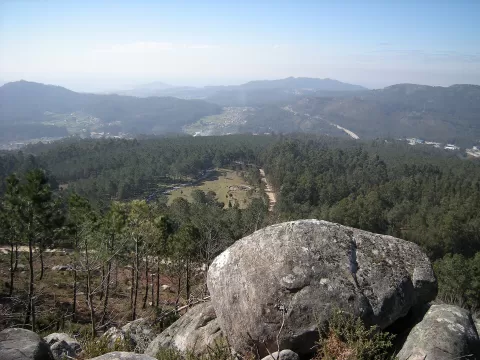
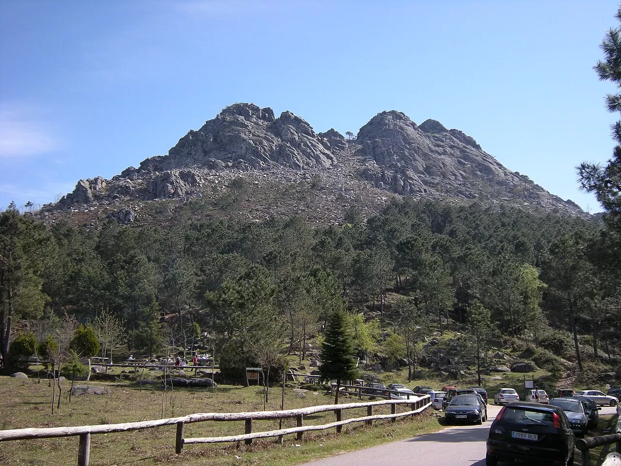
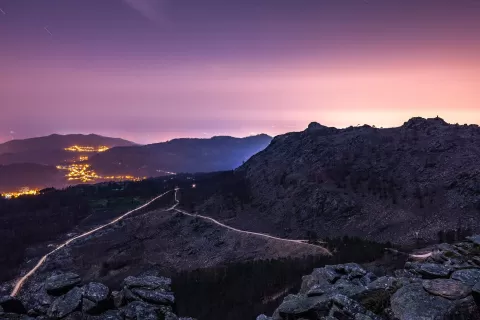
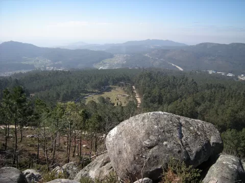
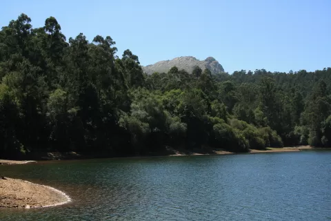
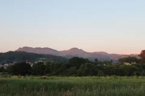
The Serra do Galiñeiro crosses the municipalities of Vigo, Gondomar, O Porriño, Mos and Tui for more than 10 km, at right angles to the Ría de Vigo. It is a granite range. Its highest point, Monte Galiñeiro, at about 711 metres, is in Gondomar. The range also includes Alba and O Cepudo, in Vigo, and Aloia, in Tui, which is a natural park.
The PR-G 1 Galiñeiro trail covers the highest mountain in Vigo, and there are climbing areas on its rocks.
The summit is one of the best viewpoints over the Ría de Vigo, the ocean and the Val Miñor. At O Cepudo, the viewpoint with the chapel of Nuestra Señora de Alba gives another frame. On clear days, late in the day, the light falls across the ría.
What Sierra de Galiñeiro has to offer
More viewpoints in Pontevedra More hiking trails in Pontevedra
Best time to photograph Sierra de Galiñeiro today, 21 November
- Sunrise8:32 – 9:32golden hour
- Sunset17:09 – 18:09golden hour
- Blue hour18:09 – 18:39at dusk
At sunrise and sunset, low-angled light brings out the landscape's texture. Arrive 20 minutes early to get a good spot.
Hashtags for your photos of Sierra de Galiñeiro
Upload your photo with #fotoMap and help more people discover this spot. The one with the most votes becomes the cover photo.
Reviews of Sierra de Galiñeiro
Nobody has said what it's like yet. Have you been? Be the first to tell us.
Write a review