 See all 6 photos
Upload your photo
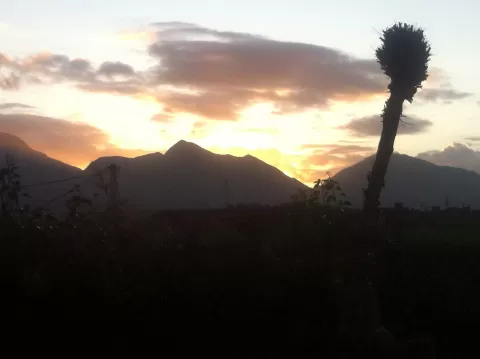
Sierra de Cuera
No reviews yet
Do you like this place? Be the first to vote
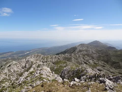
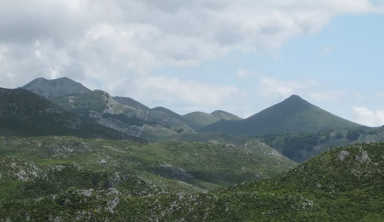
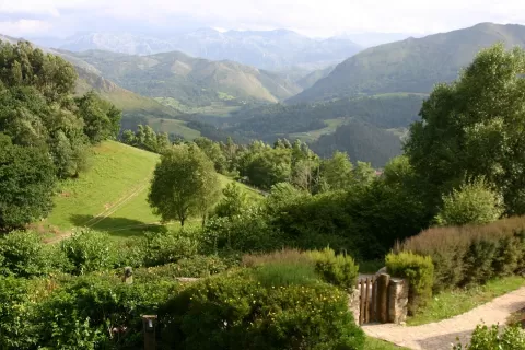
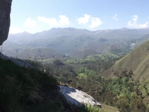
The Sierra del Cuera runs about 30 kilometres from west to east through eastern Asturias, some 6 kilometres from the coast. It is shared between Cabrales, Llanes, Peñamellera Alta, Peñamellera Baja and Ribadedeva, and about 133 square kilometres form the Sierra del Cuera Protected Landscape. Its highest point is Pico Turbina, at 1315 metres.
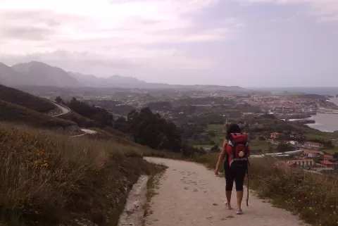
The shortest route to Turbina starts from the road between Arangas and Peñamellera Alta, follows old mining tracks and a paved path through the Gobiu gorge and passes the hamlet of Piedra del Oso. Climbing from the Llanes coast is not advisable unless you know the area: the woodland and heath are dense and it is easy to get lost.
The summit is double, with a cross and a trig point. From the top you can see the Llanes coast to the north and the Picos de Europa to the south, so the same spot gives two opposite photos: the sea and the mountains.
What Sierra de Cuera has to offer
More viewpoints in Asturias More hiking trails in Asturias
Best time to photograph Sierra de Cuera today, 21 November
- Sunrise8:19 – 9:19golden hour
- Sunset16:49 – 17:49golden hour
- Blue hour17:49 – 18:21at dusk
At sunrise and sunset, low-angled light brings out the landscape's texture. Arrive 20 minutes early to get a good spot.
Hashtags for your photos of Sierra de Cuera
Upload your photo with #fotoMap and help more people discover this spot. The one with the most votes becomes the cover photo.
Reviews of Sierra de Cuera
Nobody has said what it's like yet. Have you been? Be the first to tell us.
Write a review