 See all 6 photos
Upload your photo
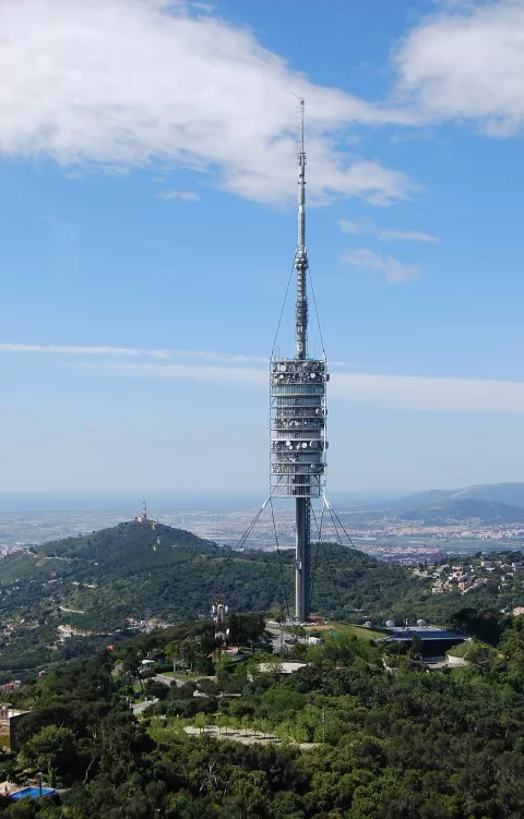
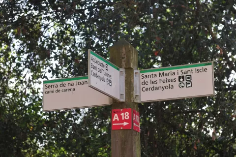
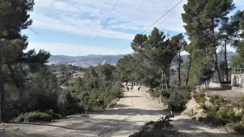
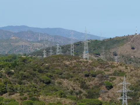
Sierra de Collserola
No reviews yet
Do you like this place? Be the first to vote
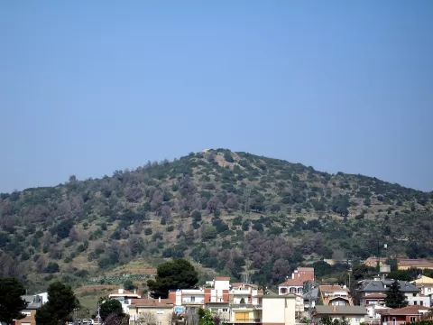
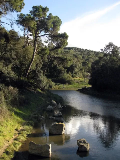
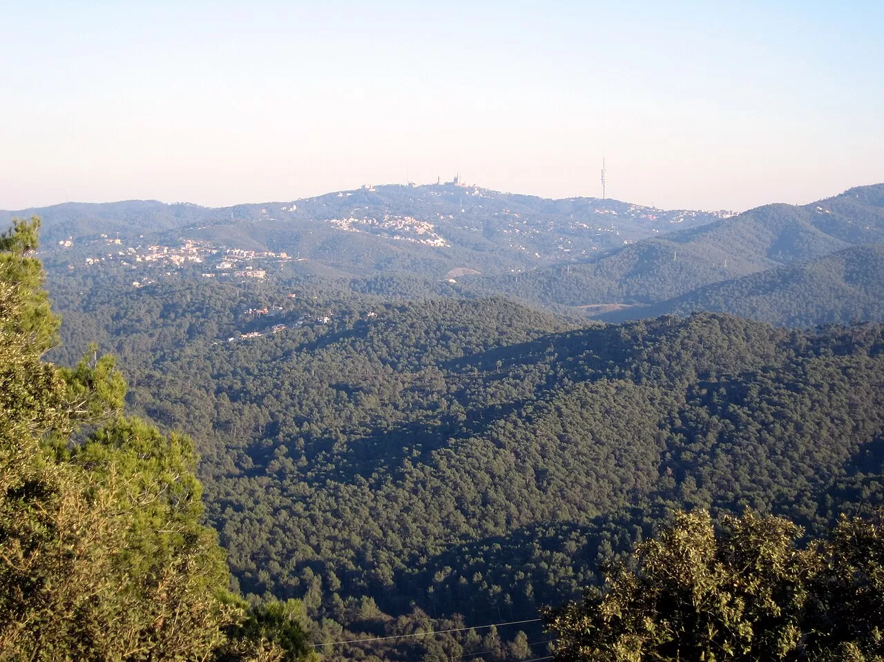
The Serra de Collserola is an extension of the Catalan Coastal Range, between the Besòs and Llobregat rivers, the Barcelona plain and the Vallès. It covers some 11,000 hectares spread across nine municipalities and is one of the largest metropolitan parks in the world. Its hills are gentle and low; the highest is Tibidabo, at 512 metres.
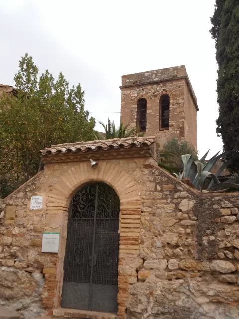
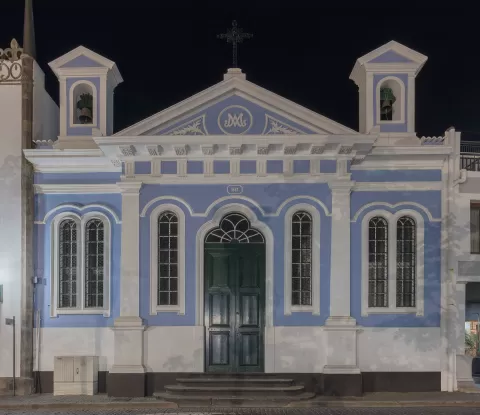
Despite being surrounded by city, it retains a great deal of woodland, mainly Aleppo pine and holm oak, with wild boar, foxes and squirrels. There are numerous paths, hermitages such as Sant Medir and Santa Creu d'Olorda, and a museum of rural life in the Can Coll farmhouse.
What Sierra de Collserola has to offer
More viewpoints in Barcelona More hiking trails in Barcelona
Best time to photograph Sierra de Collserola today, 21 November
- Sunrise7:47 – 8:47golden hour
- Sunset16:27 – 17:27golden hour
- Blue hour17:27 – 17:57at dusk
At sunrise and sunset, low-angled light brings out the landscape's texture. Arrive 20 minutes early to get a good spot.
Hashtags for your photos of Sierra de Collserola
Upload your photo with #fotoMap and help more people discover this spot. The one with the most votes becomes the cover photo.
Reviews of Sierra de Collserola
Nobody has said what it's like yet. Have you been? Be the first to tell us.
Write a review