 See all 6 photos
Upload your photo
Sierra de Altamira
No reviews yet
Do you like this place? Be the first to vote
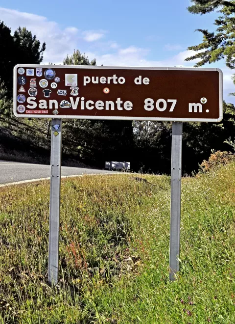
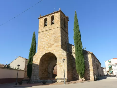
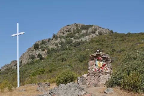
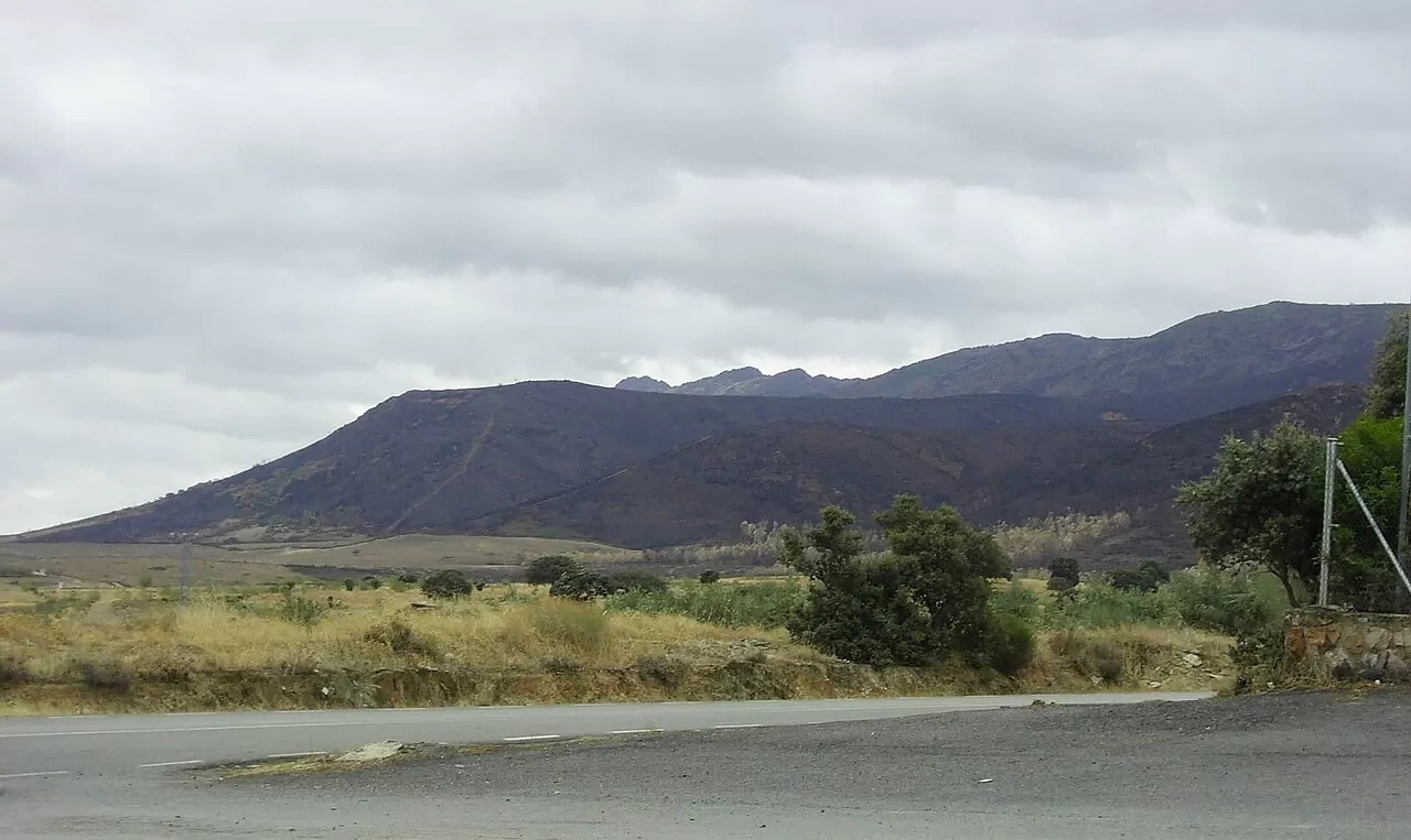
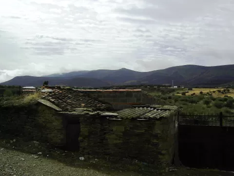
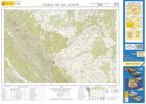
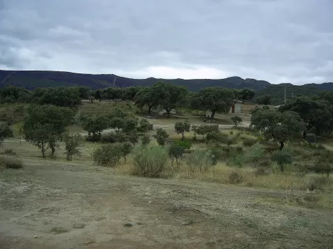
The Sierra de Altamira closes off the western end of the Montes de Toledo, on the border between Extremadura and Castilla-La Mancha. It stretches for 30 to 40 kilometres and its summits are Riscos Altos, at 1,325 metres, and the Risco de las Moras, at 1,279; the foothills lie at 600 to 700 metres. Around it are Carrascalejo and Navatrasierra, in the province of Cáceres, and Mohedas de la Jara and Puerto de San Vicente, in Toledo.
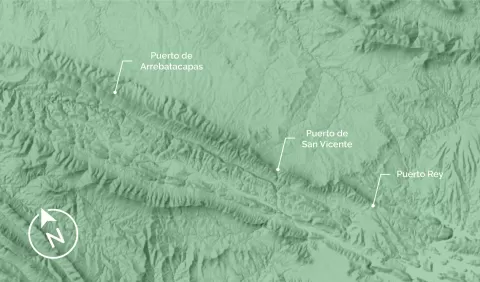
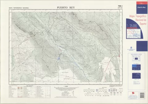
Three mountain passes cross it from west to east: Arrebatacapas (910 m), San Vicente (736 m) and Puerto Rey (600 m). They lead from La Jara to Las Villuercas.
A good panorama is the range rising above Navatrasierra, with the village at its foot and the line of crags above. The passes let you get close to the summits by car.
What Sierra de Altamira has to offer
More viewpoints in Cáceres More hiking trails in Cáceres
Best time to photograph Sierra de Altamira today, 21 November
- Sunrise8:11 – 9:11golden hour
- Sunset17:01 – 18:01golden hour
- Blue hour18:01 – 18:30at dusk
At sunrise and sunset, low-angled light brings out the landscape's texture. Arrive 20 minutes early to get a good spot.
Hashtags for your photos of Sierra de Altamira
Upload your photo with #fotoMap and help more people discover this spot. The one with the most votes becomes the cover photo.
Reviews of Sierra de Altamira
Nobody has said what it's like yet. Have you been? Be the first to tell us.
Write a review