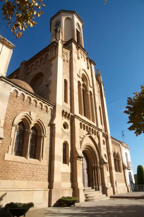
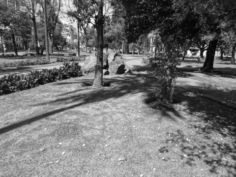
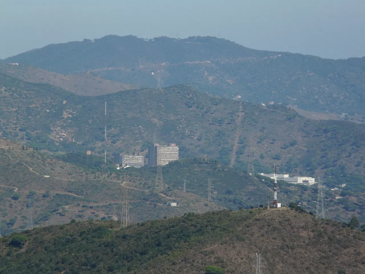
 See all 6 photos
Upload your photo
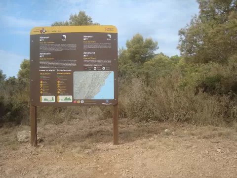
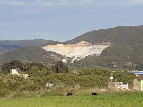
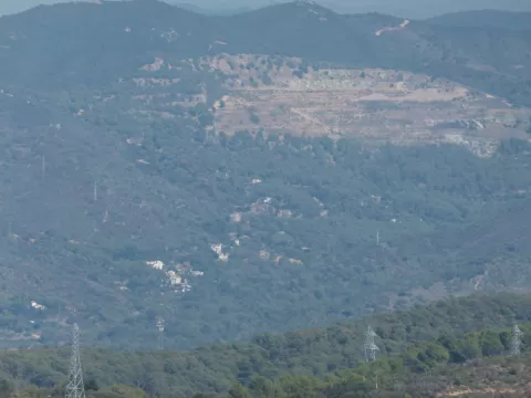
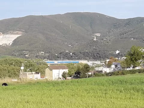
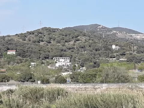
Serralada de Marina Park
No reviews yet
Do you like this place? Be the first to vote
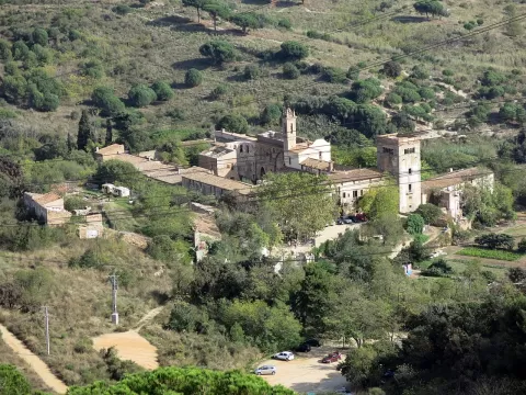
Serralada de Marina Park covers the southern end of the Marina range, in the Conreria sector, between Tiana, Badalona, Santa Coloma de Gramenet, Montcada i Reixac and Sant Fost de Campsentelles. It has been managed by the Diputació de Barcelona (the provincial council) since 2002, covers about 3,000 hectares and its highest point is the Turó de Galzeran, at 485 metres.
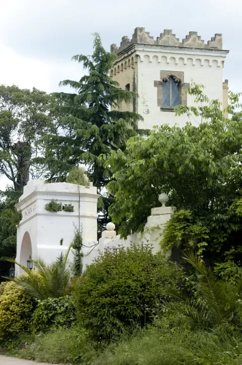
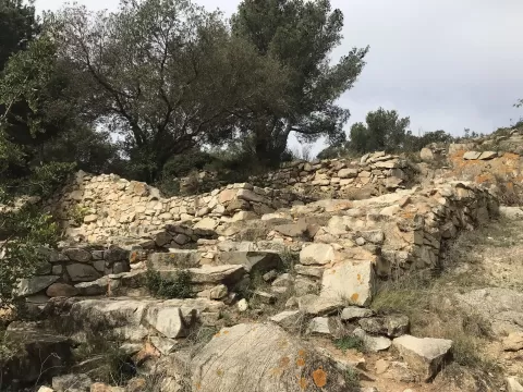
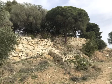
It is a green space surrounded by city, with Iberian settlements, masias (farmhouses) and the monastery of Sant Jeroni de la Murtra, of the Hieronymite order, Gothic from the early 15th century. The park office is at La Conreria, on the B-500 road. The SL-C 95 footpath climbs from Tiana to the Turó de Galzeran.
The central strip, from Puig Castellar to the Turó de Galzeran, has most of the viewpoints, with views over the northern half of the Barcelona metropolitan area and the ranges around it.
What Serralada de Marina Park has to offer
More hiking trails in Barcelona
Best time to photograph Serralada de Marina Park today, 21 November
- Sunrise7:46 – 8:46golden hour
- Sunset16:27 – 17:27golden hour
- Blue hour17:27 – 17:57at dusk
Golden hour gives the most beautiful light: warm, soft and with long shadows.
Hashtags for your photos of Serralada de Marina Park
Upload your photo with #fotoMap and help more people discover this spot. The one with the most votes becomes the cover photo.
Reviews of Serralada de Marina Park
Nobody has said what it's like yet. Have you been? Be the first to tell us.
Write a review