 See all 6 photos
Upload your photo
Risco de los Claveles
No reviews yet
Do you like this place? Be the first to vote
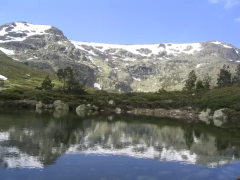
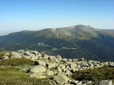
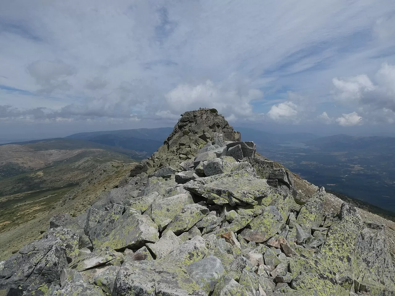
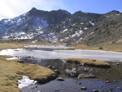
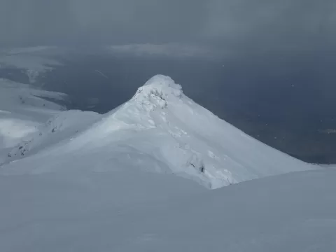
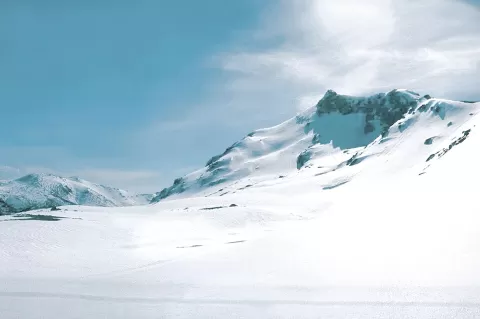
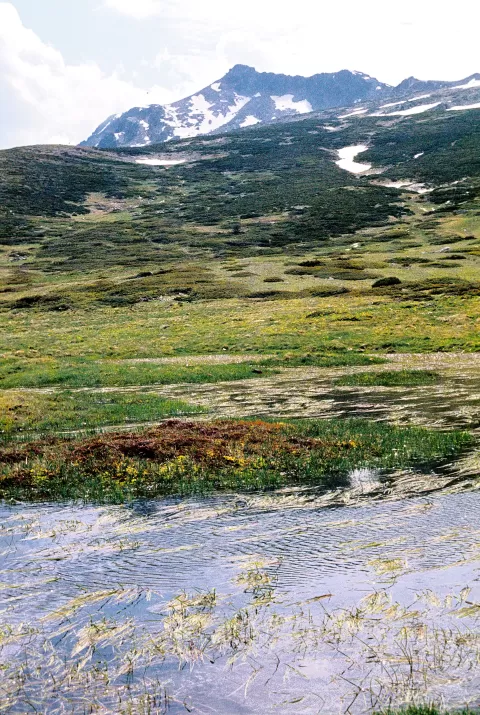
Risco de los Claveles, 2,387 metres high, lies 700 metres north of the summit of Peñalara, on the border between Segovia and Madrid, within the Sierra de Guadarrama National Park. It is considered a subsidiary peak of Peñalara. Above 2,000 metres there is broom scrub and alpine meadow, and below, Scots pine forest.
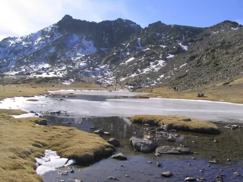
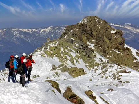
It is climbed by the north face from the Laguna de los Pájaros, on a faintly marked path, or from the summit of Peñalara along a path heading north. Without ice or snow it is not especially difficult, although there are exposed sections. With snow you need crampons and an ice axe, and it is one of the peaks with the most fatal accidents in the range.
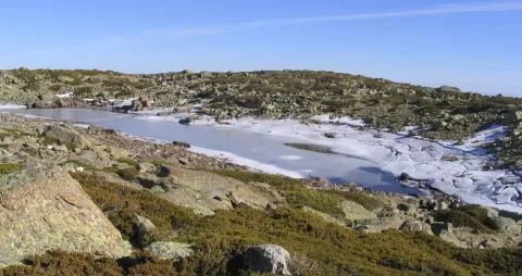
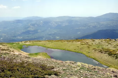
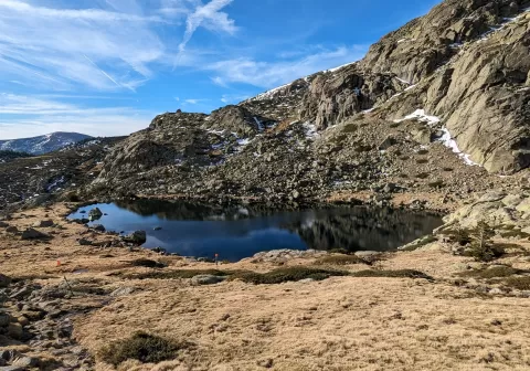
Its sharp outline stands out strongly next to the rounded summit of Peñalara. The Laguna de los Pájaros and Laguna de los Claveles, at its foot, make a good foreground.
What Risco de los Claveles has to offer
More viewpoints in Segovia More hiking trails in Segovia
Best time to photograph Risco de los Claveles today, 21 November
- Sunrise8:09 – 9:09golden hour
- Sunset16:53 – 17:53golden hour
- Blue hour17:53 – 18:23at dusk
At sunrise and sunset, low-angled light brings out the landscape's texture. Arrive 20 minutes early to get a good spot.
Hashtags for your photos of Risco de los Claveles
Upload your photo with #fotoMap and help more people discover this spot. The one with the most votes becomes the cover photo.
Reviews of Risco de los Claveles
Nobody has said what it's like yet. Have you been? Be the first to tell us.
Write a review