 See all 6 photos
Upload your photo
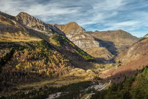
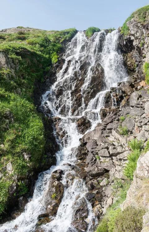
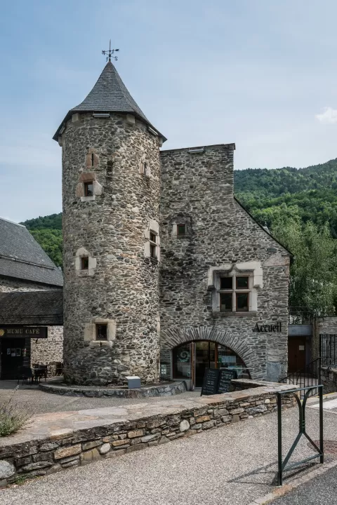
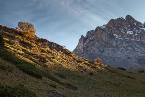
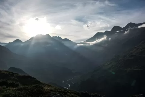
Pyrénées National Park
No reviews yet
Do you like this place? Be the first to vote
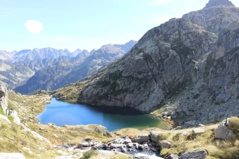
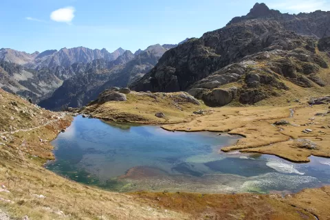
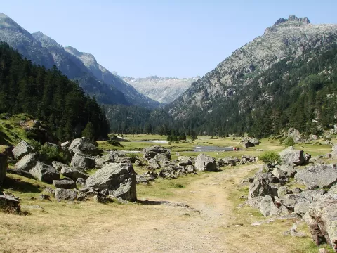
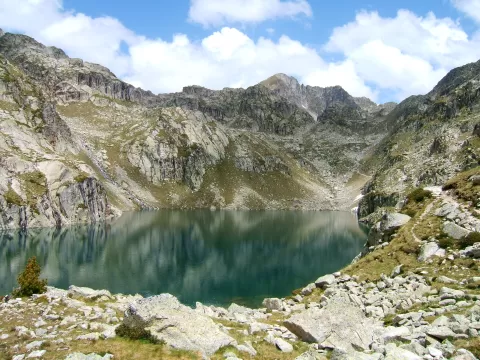
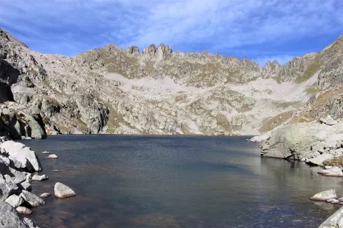
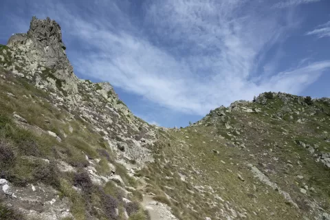
The Pyrénées National Park was created in 1967 and its core area protects 457 km² along the border with Spain. Its highest point is the Vignemale, at 3,298 metres, and together with the Ordesa y Monte Perdido park it forms the Pyrénées-Mont Perdu site, a World Heritage Site since 1997.
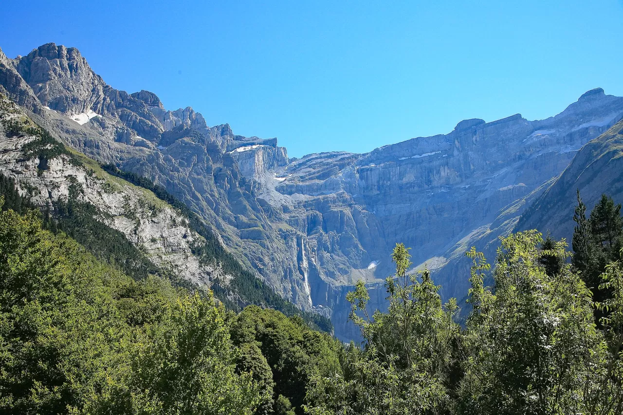
Its best-known places are the glacial cirques of Gavarnie, Estaubé and Troumouse, with high, sheer walls, the Lac de Gaube and the Pic du Midi d'Ossau. At the back of the Cirque de Gavarnie falls the highest waterfall in France.
Its wildlife includes the golden eagle, the vulture, the Pyrenean chamois, the marmot and the brown bear, and the Iberian ibex has been reintroduced since 2014. The cirques, enclosed by walls of rock, are the park's great photographic subject.
What Pyrénées National Park has to offer
More viewpoints in Hautes-Pyrénées More hiking trails in Hautes-Pyrénées
Best time to photograph Pyrénées National Park today, 21 November
- Sunrise8:00 – 9:00golden hour
- Sunset16:33 – 17:33golden hour
- Blue hour17:33 – 18:03at dusk
At sunrise and sunset, low-angled light brings out the landscape's texture. Arrive 20 minutes early to get a good spot.
Hashtags for your photos of Pyrénées National Park
Upload your photo with #fotoMap and help more people discover this spot. The one with the most votes becomes the cover photo.
Reviews of Pyrénées National Park
Nobody has said what it's like yet. Have you been? Be the first to tell us.
Write a review