 See all 6 photos
Upload your photo
Puerto de La Fuenfría
No reviews yet
Do you like this place? Be the first to vote
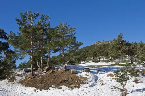
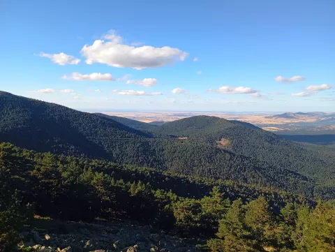
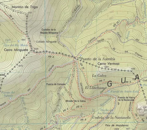
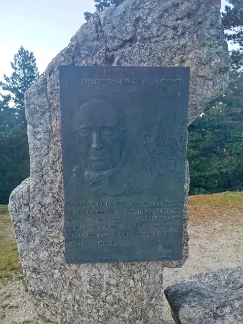
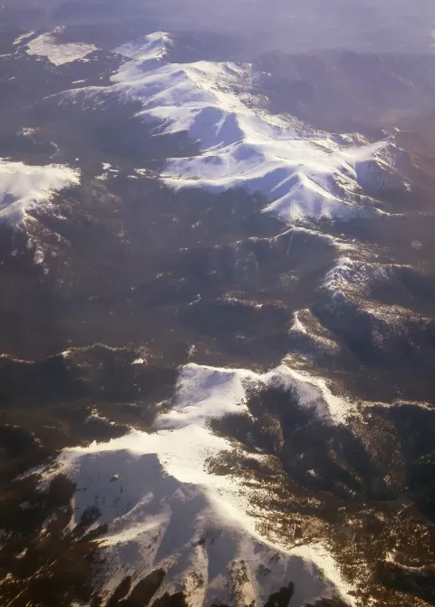
The Fuenfría pass crosses the Sierra de Guadarrama at 1,796 metres and links the provinces of Segovia and Madrid. It lies between the La Mujer Muerta range to the west and Siete Picos to the east. Around 1720 it was lowered by some five metres for the road that, in the time of Philip V, linked La Granja with Madrid.
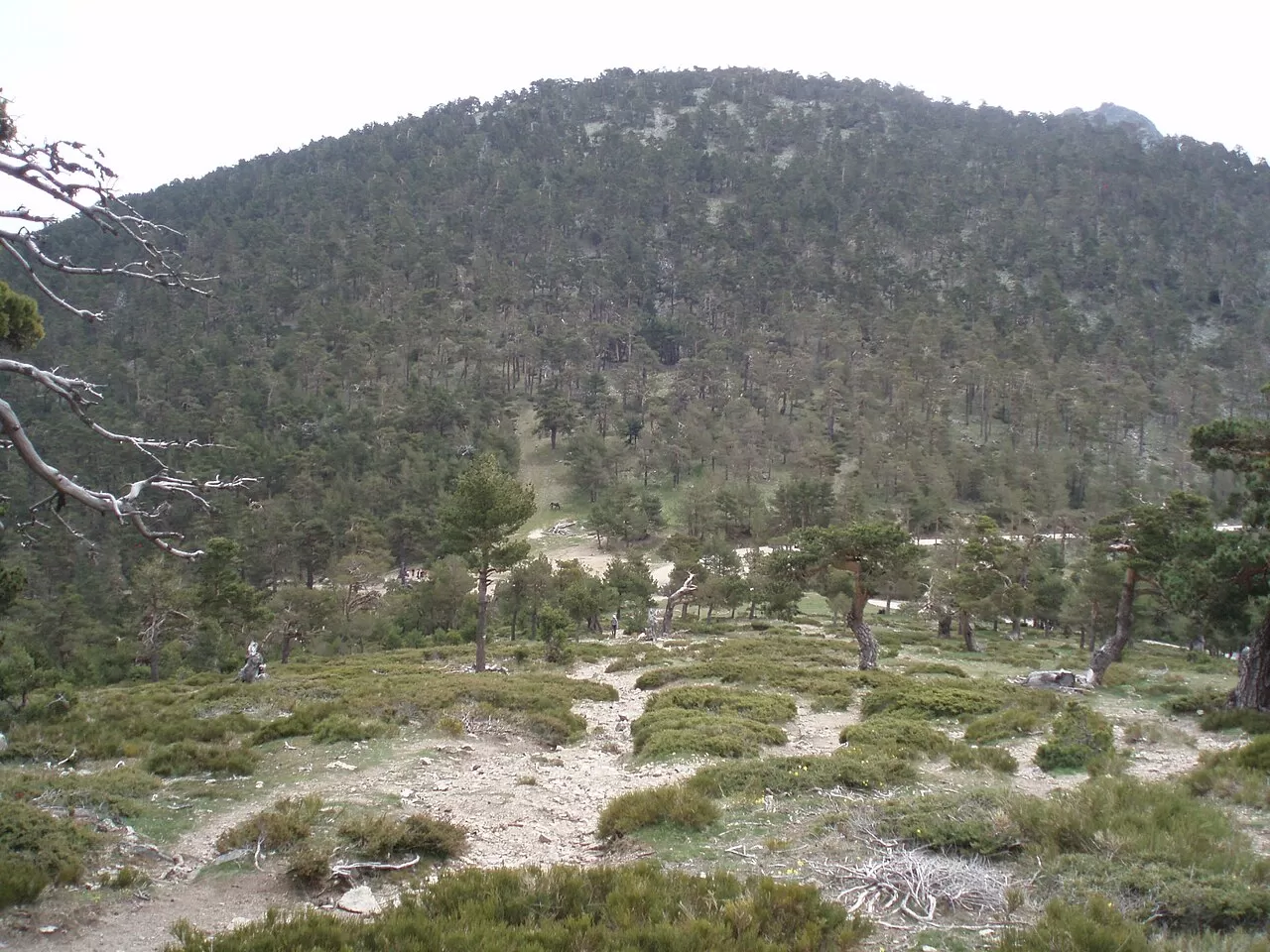
Today it is used only for sport and is popular with mountaineers. The path climbs from Las Dehesas de Cercedilla up the Fuenfría valley. At the pass the Carretera de la República, the Cordel de Santillana drove road, the La Calle Alta forest track and paths to the nearby summits all cross.
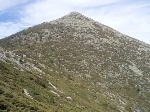
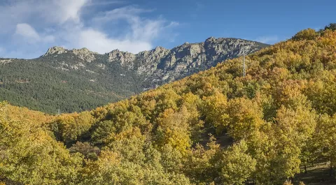
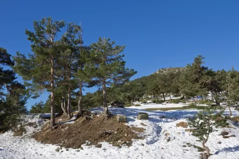
For photos, the outlines of Siete Picos and La Mujer Muerta on either side of the col. The Fuenfría valley, on the way up from Cercedilla, provides the foreground.
What Puerto de La Fuenfría has to offer
Best time to photograph Puerto de La Fuenfría today, 21 November
- Sunrise8:10 – 9:10golden hour
- Sunset16:54 – 17:54golden hour
- Blue hour17:54 – 18:23at dusk
At sunrise and sunset, low-angled light brings out the landscape's texture. Arrive 20 minutes early to get a good spot.
Hashtags for your photos of Puerto de La Fuenfría
Upload your photo with #fotoMap and help more people discover this spot. The one with the most votes becomes the cover photo.
Reviews of Puerto de La Fuenfría
Nobody has said what it's like yet. Have you been? Be the first to tell us.
Write a review