 See all 6 photos
Upload your photo
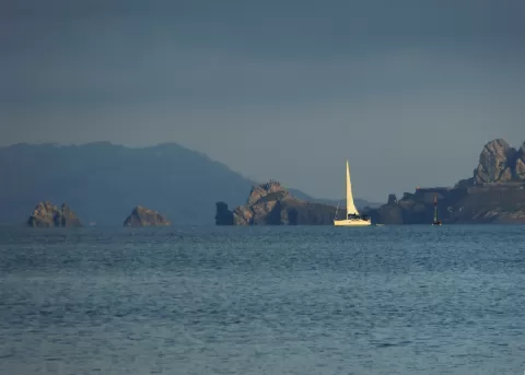
Porquerolles
No reviews yet
Do you like this place? Be the first to vote
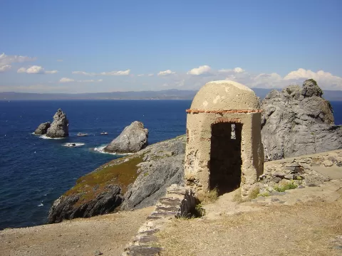
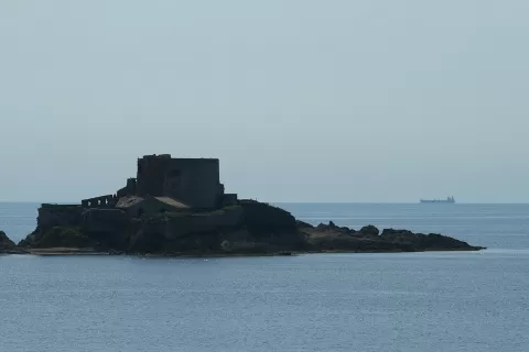
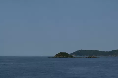
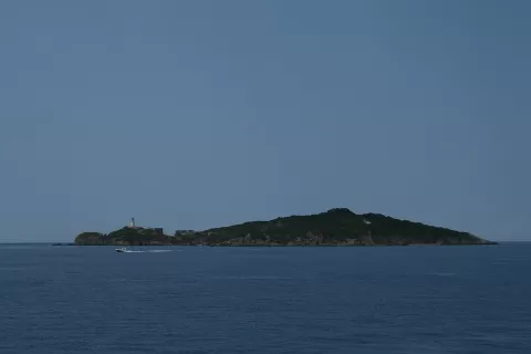
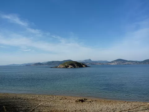
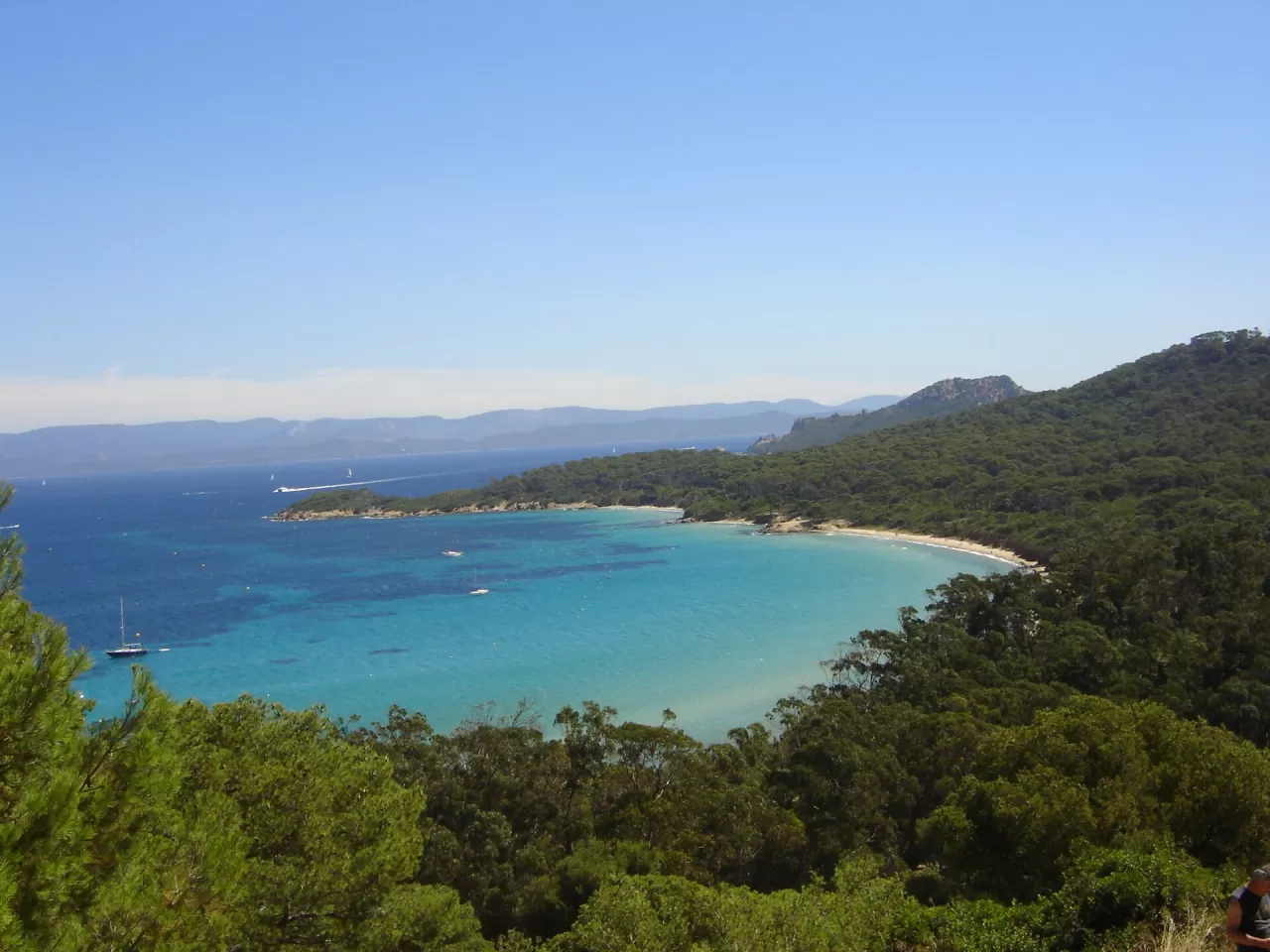
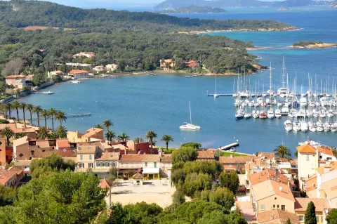
Porquerolles is about 7.5 km from east to west and 3 km wide, covering 12.54 km², and lies 2.6 km south-east of the Tour Fondue, at the tip of the Giens peninsula. It belongs to Hyères. In 1971 the State bought the former Fournier estate and entrusted the Port-Cros National Park with managing about 1,000 hectares, most of the island.
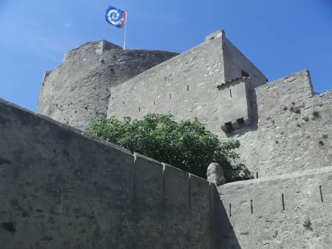
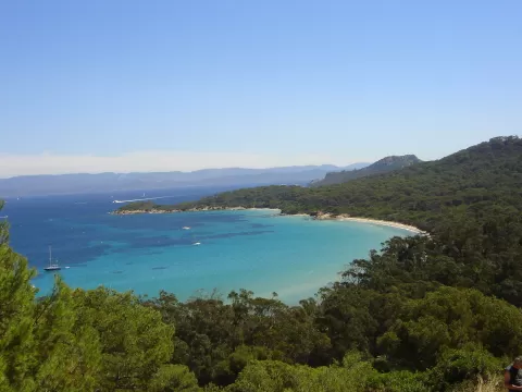
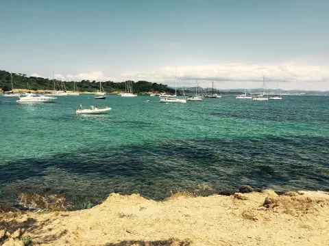
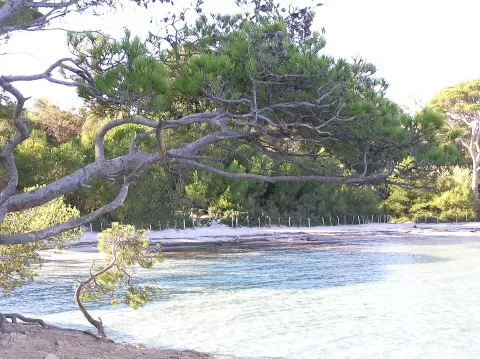
The north coast has sandy beaches: the Plage Notre-Dame and the Plage de la Courtade to the east, along an easy path, and the Plage d'Argent to the west. The island keeps the Fort Sainte-Agathe, of 16th-century origin, and at its southern end stands the Cap d'Arme lighthouse.
The Mediterranean National Botanical Conservatory works on the island, and since 2018 the Carmignac Foundation has exhibited modern art there.
What Porquerolles has to offer
More viewpoints in Var More beaches and coves in Var
Best time to photograph Porquerolles today, 21 November
- Sunrise7:34 – 8:34golden hour
- Sunset16:07 – 17:07golden hour
- Blue hour17:07 – 17:37at dusk
At sunset the sea turns orange; at low tide you get reflections on the wet sand.
Hashtags for your photos of Porquerolles
Upload your photo with #fotoMap and help more people discover this spot. The one with the most votes becomes the cover photo.
Reviews of Porquerolles
Nobody has said what it's like yet. Have you been? Be the first to tell us.
Write a review