 See all 6 photos
Upload your photo
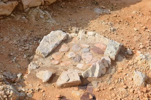
Poblado de Cala Morell
No reviews yet
Do you like this place? Be the first to vote
- Monument
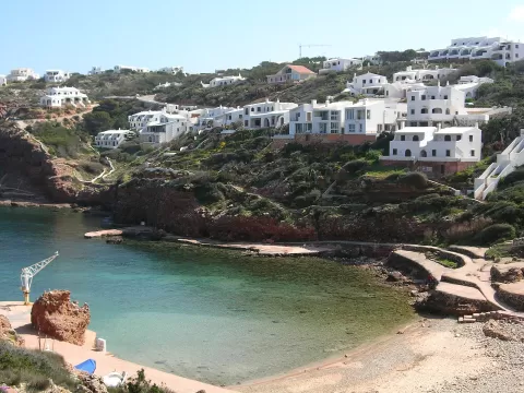
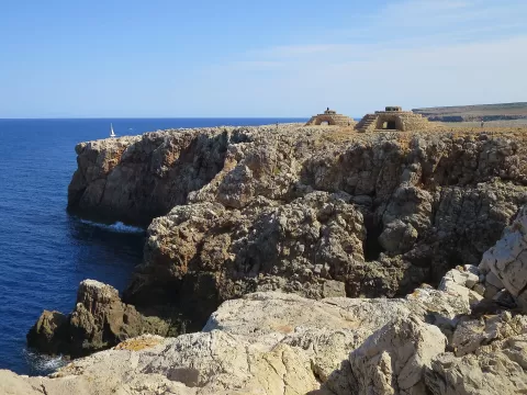
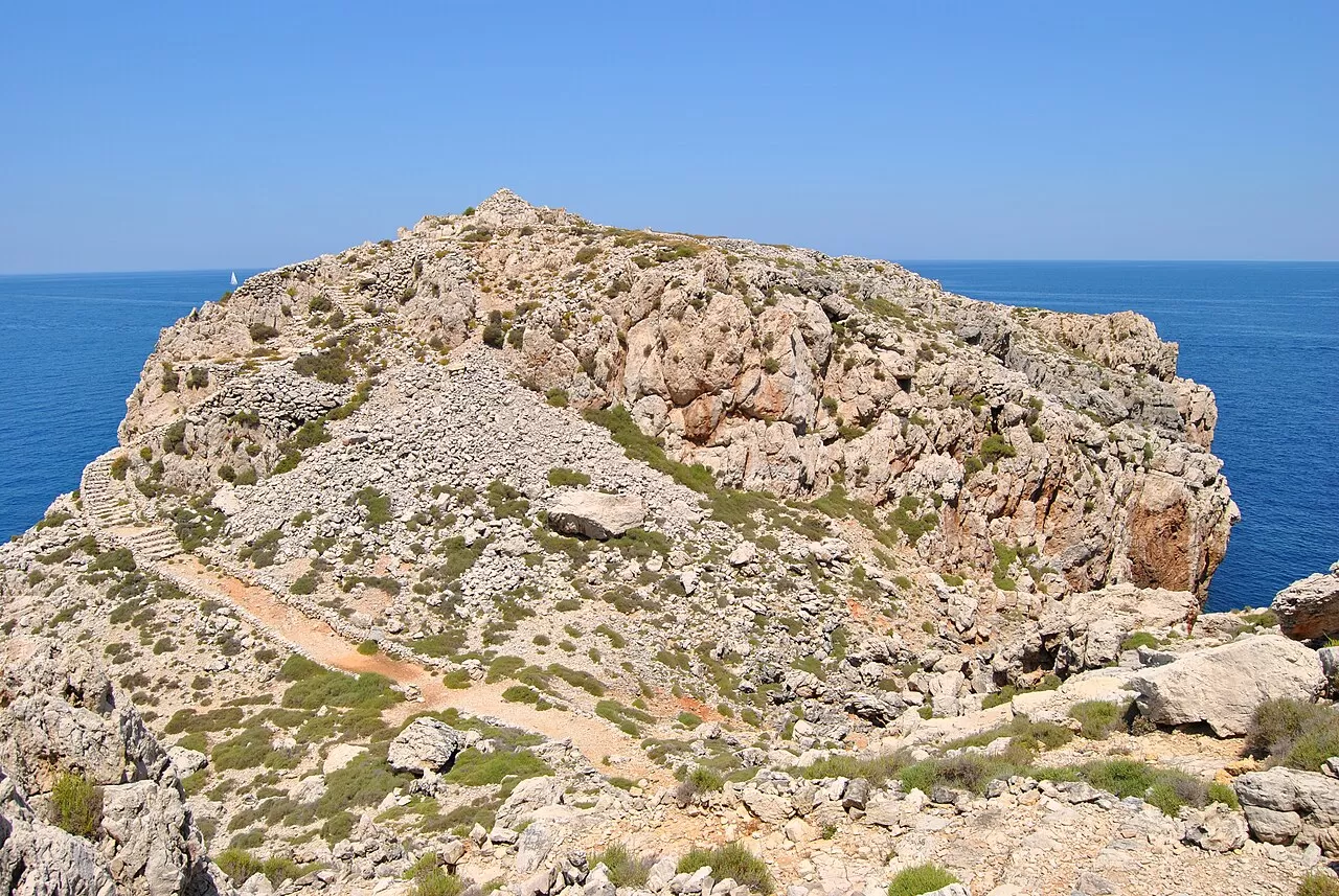
The Cala Morell settlement occupies the headland that closes off the north-eastern side of the entrance to this cove north of Ciutadella, on a rocky promontory about 35 metres high. It was inhabited roughly between 1600 and 1200 BC, before the Talayotic period, and has been excavated since 2011. It is part of the bid for Talayotic Menorca to become a World Heritage Site.
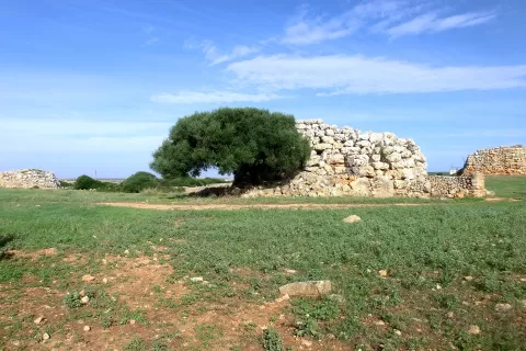
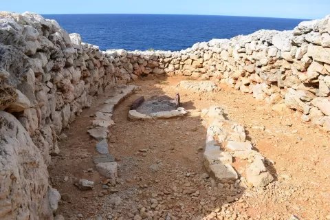
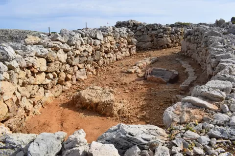
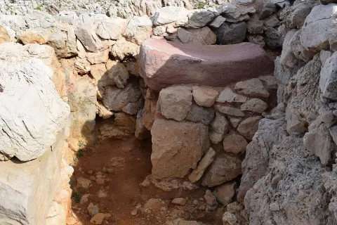
On the surface you can make out a dozen dwelling navetas, the typical houses of the Menorcan Bronze Age, and at the highest point a circular structure about 4 metres across. On the landward side it was enclosed by a dry-stone wall; on the seaward side the cliffs protected it.
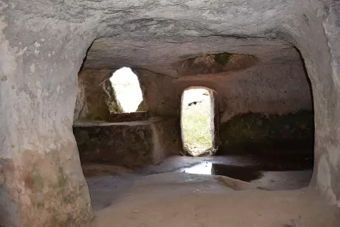
The navetas with the sea behind them are the frame. Low afternoon light picks out the stone blocks. In the same cove are the rock-cut caves of the Cala Morell necropolis.
More monuments in the Balearic Islands
Best time to photograph Poblado de Cala Morell today, 21 November
- Sunrise7:36 – 8:36golden hour
- Sunset16:24 – 17:24golden hour
- Blue hour17:24 – 17:53at dusk
In the blue hour, with the lighting on, the monument stands out against the sky. Early in the morning there are fewer people.
Hashtags for your photos of Poblado de Cala Morell
Upload your photo with #fotoMap and help more people discover this spot. The one with the most votes becomes the cover photo.
Reviews of Poblado de Cala Morell
Nobody has said what it's like yet. Have you been? Be the first to tell us.
Write a review