 See all 6 photos
Upload your photo
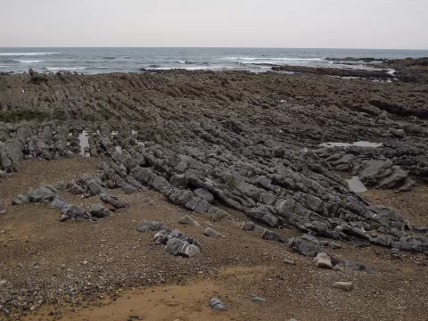
Playas de Berbes, Vega y La Sierra
No reviews yet
Do you like this place? Be the first to vote
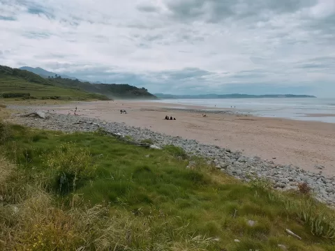
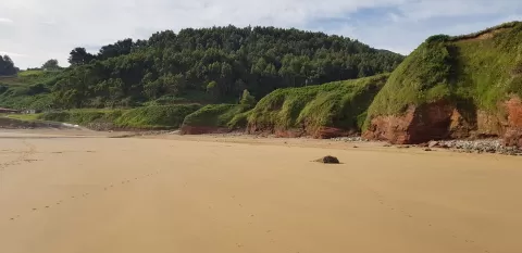
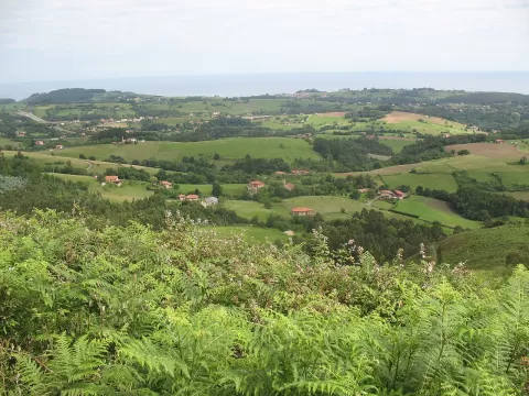
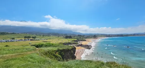
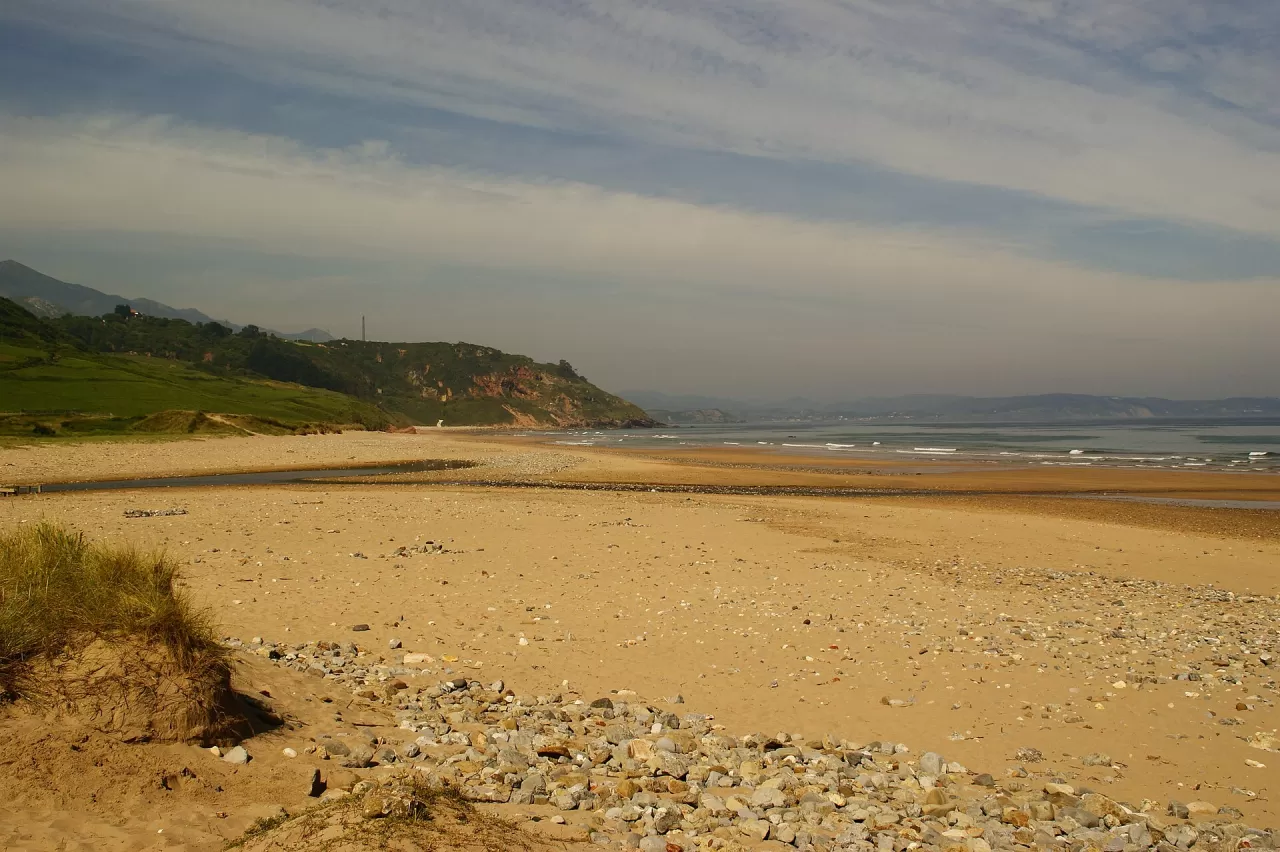
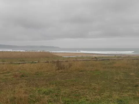
Between Punta Arrobado and Punta de la Sierra lie the beaches of Berbes, Vega and La Sierra, in the west of the municipality of Ribadesella, within the Protected Landscape of the Eastern Coast. Vega is the main one: about 1,200 metres of tawny sand and boulders, cut by a stream and with one of the few dune systems left in the north. At its eastern end there are dinosaur footprints and rocks containing fluorite. La Sierra, about 200 metres long, lies on the other side.
You can drive to Vega, where there is a car park with more than a hundred spaces. La Sierra can only be reached on foot, usually across the sand at Vega at low tide, because the cliff path is difficult.
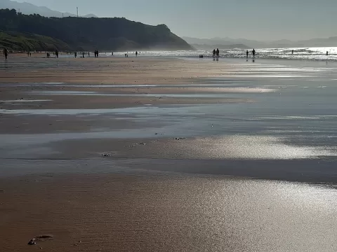
At low tide the beach widens and the rocks to the east appear. The dunes with their plants make a foreground, and the cliffs close off the photo on both sides. Afternoon light outlines them.
What Playas de Berbes, Vega y La Sierra has to offer
More beaches and coves in Asturias More natural pools in Asturias
Best time to photograph Playas de Berbes, Vega y La Sierra today, 22 November
- Sunrise8:23 – 9:23golden hour
- Sunset16:50 – 17:50golden hour
- Blue hour17:50 – 18:21at dusk
At sunset the sea turns orange; at low tide you get reflections on the wet sand.
Hashtags for your photos of Playas de Berbes, Vega y La Sierra
Upload your photo with #fotoMap and help more people discover this spot. The one with the most votes becomes the cover photo.
Reviews of Playas de Berbes, Vega y La Sierra
Nobody has said what it's like yet. Have you been? Be the first to tell us.
Write a review