 See all 6 photos
Upload your photo
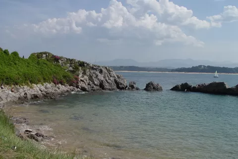
Playa de los Bikinis
No reviews yet
Do you like this place? Be the first to vote
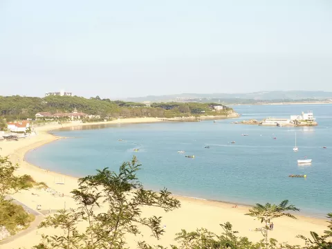
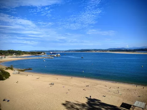
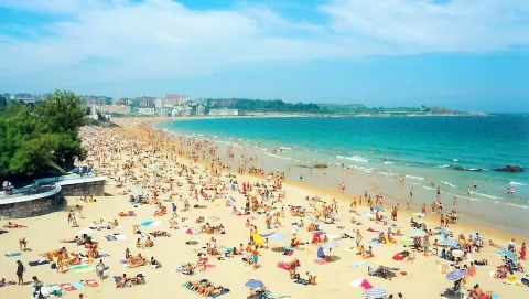
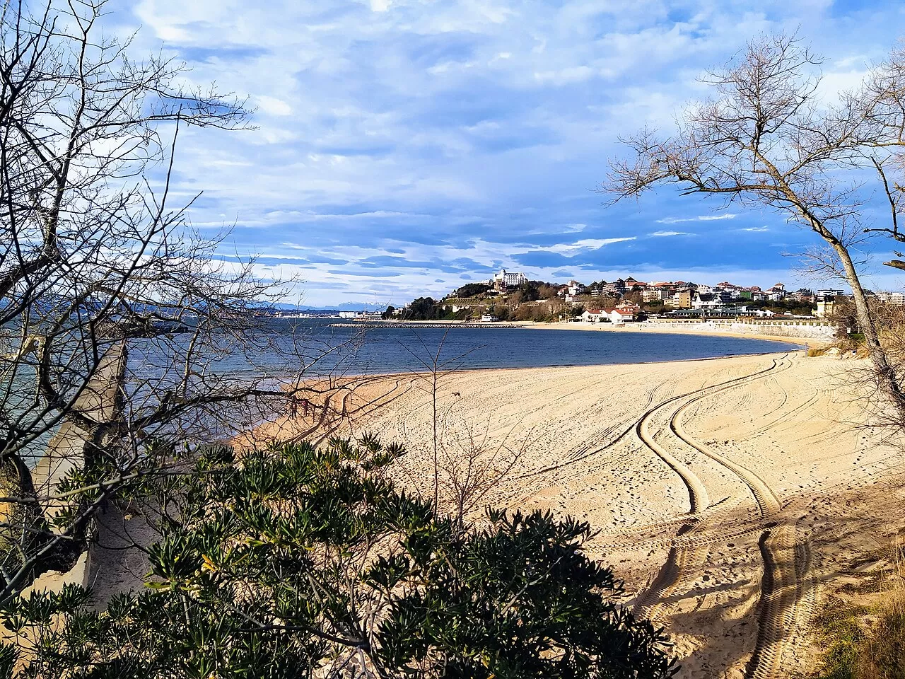
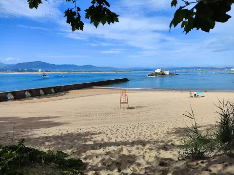
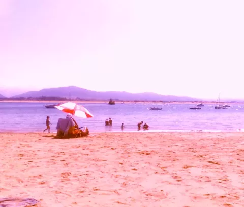
The Playa de los Bikinis lies on the bay of Santander, curving around the south-east of the Magdalena peninsula. It is about 250 metres long. The name dates from the 1960s, when foreign students on the Menéndez Pelayo International University courses came down to it in bikinis.
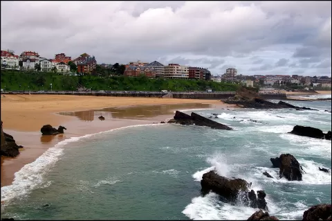
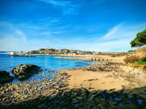
There are hardly any waves. At high tide the eastern part disappears and the rest shrinks to a few metres; at low tide it grows and exposes many rocks. A 1960s breakwater with large arches partly divides it. It is reached from the Magdalena peninsula.
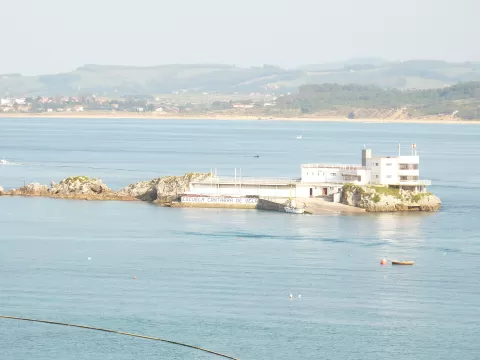
Looking south you can see the sands of El Puntal, Somo and Peña Cabarga. Close by are the islet of La Torre and the island of La Horadada, with its small lighthouse. Low tide, with the rocks uncovered, gives more foreground.
What Playa de los Bikinis has to offer
More beaches and coves in Cantabria More natural pools in Cantabria
Best time to photograph Playa de los Bikinis today, 21 November
- Sunrise8:16 – 9:16golden hour
- Sunset16:45 – 17:45golden hour
- Blue hour17:45 – 18:16at dusk
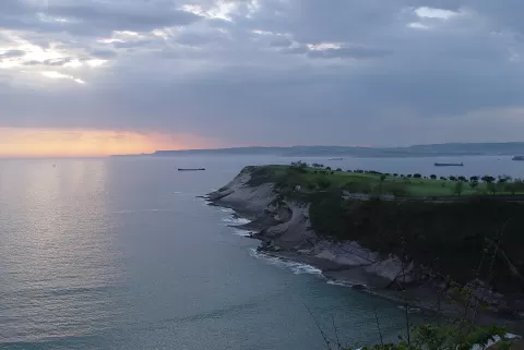
At sunset the sea turns orange; at low tide you get reflections on the wet sand.
Hashtags for your photos of Playa de los Bikinis
Upload your photo with #fotoMap and help more people discover this spot. The one with the most votes becomes the cover photo.
Reviews of Playa de los Bikinis
Nobody has said what it's like yet. Have you been? Be the first to tell us.
Write a review