 See all 2 photos
Upload your photo
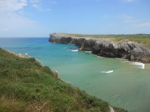
Playa de Guadamía
No reviews yet
Do you like this place? Be the first to vote
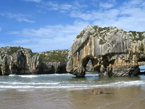
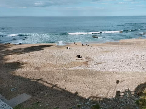
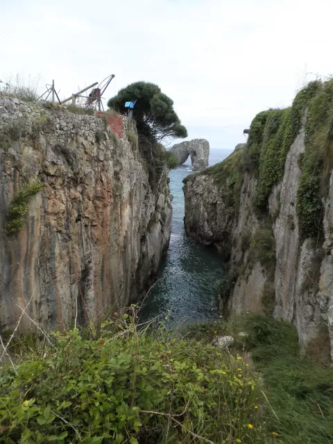
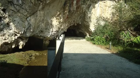
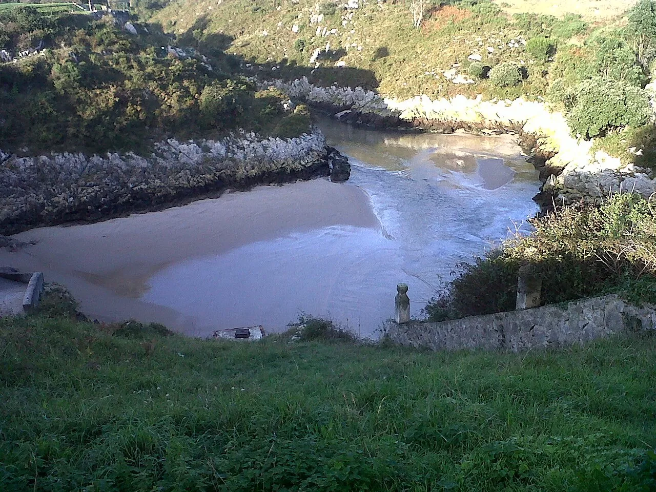
Guadamía beach sits at the mouth of the river of the same name, which marks the boundary between the municipalities of Llanes and Ribadesella. It belongs to Llames de Pría and is deeper than it is wide: about 80 metres across by 120 deep, wedged between limestone cliffs. The walls are full of small caves and bufones, blowholes through which the water bursts out with a roar when there is a ground swell. It is part of the Protected Landscape of the Eastern Coast of Asturias.
You walk down from Llames de Pría along an old cart track, or by the two paths on the Cuerres hillside. There are no facilities and the waves are strong.
The photo is taken from above, at the edge of the cliff, with the cove tucked in below and the river flowing onto the sand. In a storm at high tide the blowholes shoot up columns of water; at low tide the shapes of the rock are easier to see.
What Playa de Guadamía has to offer
More beaches and coves in Asturias More natural pools in Asturias
Best time to photograph Playa de Guadamía today, 21 November
- Sunrise8:21 – 9:21golden hour
- Sunset16:50 – 17:50golden hour
- Blue hour17:50 – 18:21at dusk
At sunset the sea turns orange; at low tide you get reflections on the wet sand.
Hashtags for your photos of Playa de Guadamía
Upload your photo with #fotoMap and help more people discover this spot. The one with the most votes becomes the cover photo.
Reviews of Playa de Guadamía
Nobody has said what it's like yet. Have you been? Be the first to tell us.
Write a review