 See all 2 photos
Upload your photo
Pico Villuercas
No reviews yet
Do you like this place? Be the first to vote
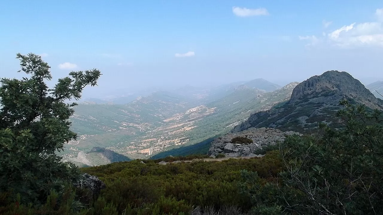
The Risco de la Villuerca, or Pico Villuercas, is the summit of the Sierra de las Villuercas, in eastern Cáceres. At around 1601 metres it is the highest point of the Montes de Toledo and of the whole Guadiana basin. It lies within the municipality of Navezuelas, not Guadalupe as is often believed.
It is the highest peak in Extremadura that can be reached by road. The climb is tarmacked, though the surface is uneven, and it is used by tourists, walkers, cyclists and amateur astronomers. It was a stage finish of the Vuelta a España in 2021, climbing from Guadalupe, and again in 2024. At the top there is an abandoned military base and a helipad.
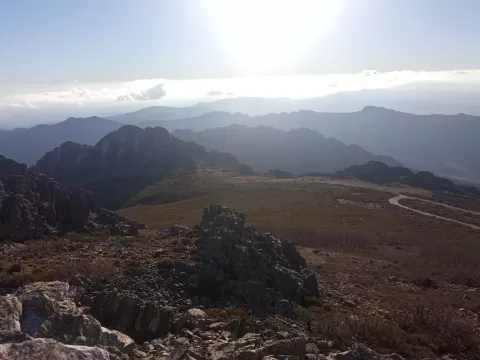
The photo is the surrounding landscape of ridges, which reads best in the low light of sunrise or sunset, when the crests stand out. At night, far from city lights, it is a good spot for photographing the sky.
What Pico Villuercas has to offer
More viewpoints in Cáceres More hiking trails in Cáceres
Best time to photograph Pico Villuercas today, 21 November
- Sunrise8:12 – 9:12golden hour
- Sunset17:02 – 18:02golden hour
- Blue hour18:02 – 18:31at dusk
At sunrise and sunset, low-angled light brings out the landscape's texture. Arrive 20 minutes early to get a good spot.
Hashtags for your photos of Pico Villuercas
Upload your photo with #fotoMap and help more people discover this spot. The one with the most votes becomes the cover photo.
Reviews of Pico Villuercas
Nobody has said what it's like yet. Have you been? Be the first to tell us.
Write a review