 See all 6 photos
Upload your photo
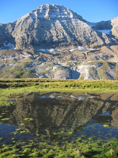
Pico Taillón
No reviews yet
Do you like this place? Be the first to vote
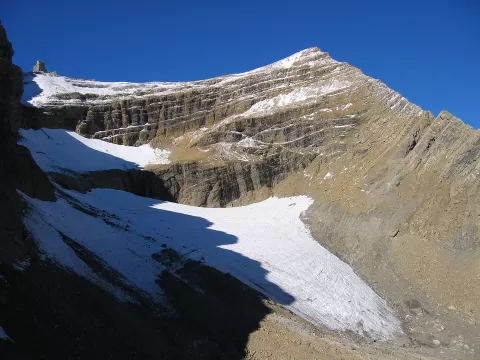
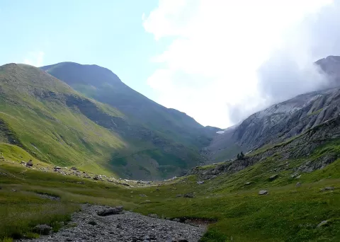
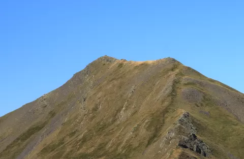
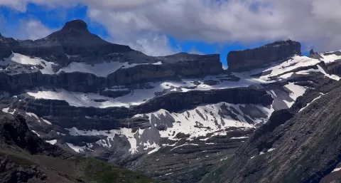
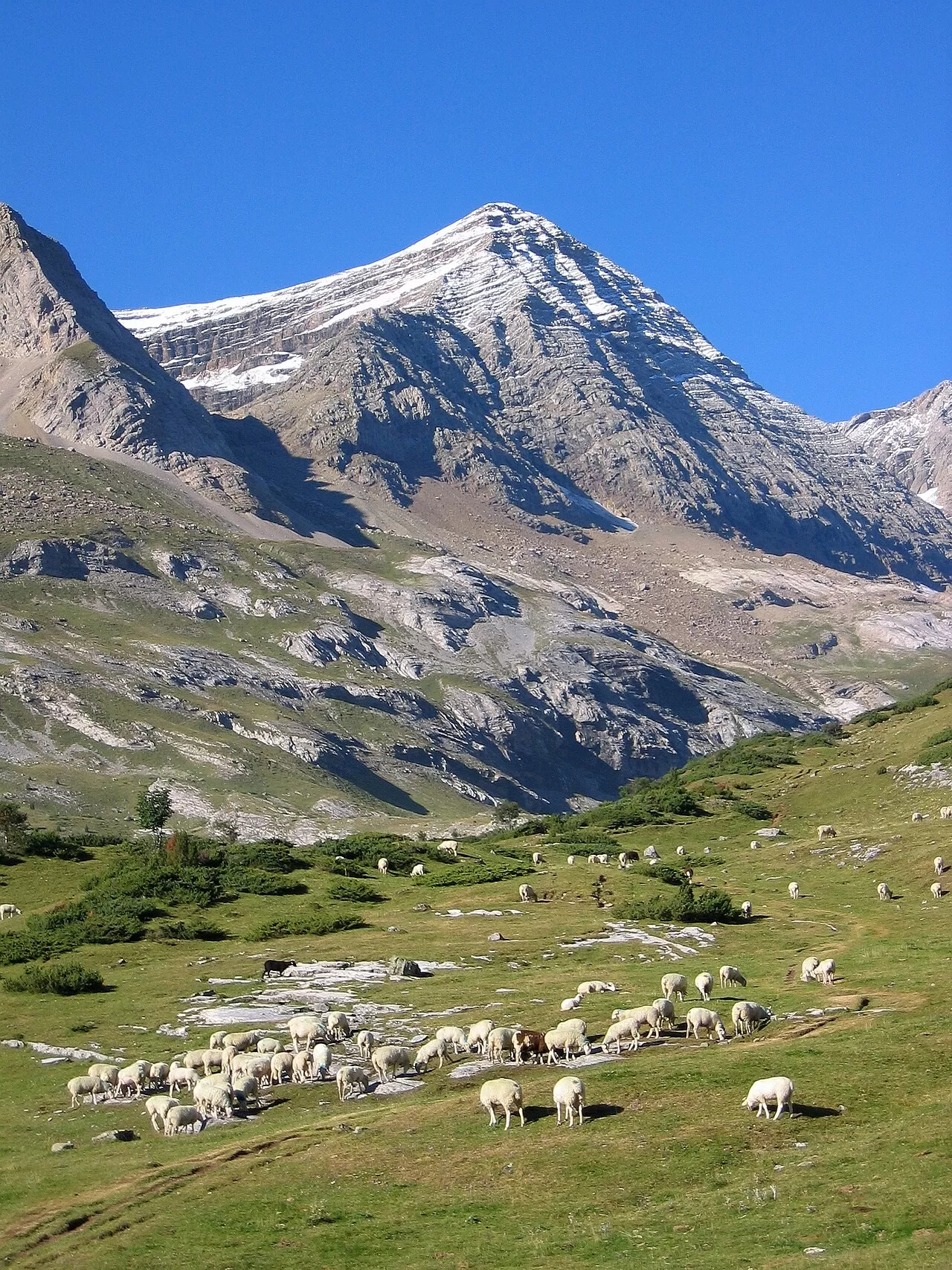
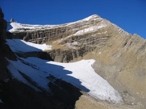
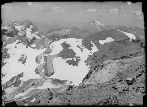
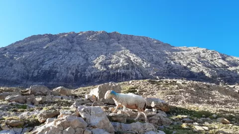
Pico Taillón, also called Punta Negra, stands 3,144 metres high on the border between Spain and France, within the Ordesa y Monte Perdido National Park. On the French side it drops down to the Cirque de Gavarnie. It was first climbed in 1792.
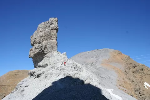
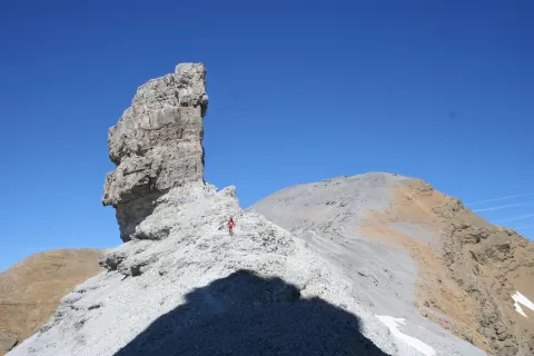
It is considered one of the easiest three-thousanders in the Monte Perdido massif. The usual route reaches the Brecha de Rolando (Roland's Breach), passes the Falsa Brecha and the Dedo and follows the east ridge to the summit. This is high mountain terrain, and early in the season there may still be snow on the path.
Roland's Breach, the great window in the wall of rock, is the defining frame of the route. From the summit the view drops over Gavarnie, and early-morning light picks out the cirques well.
What Pico Taillón has to offer
More viewpoints in Huesca More hiking trails in Huesca
Best time to photograph Pico Taillón today, 21 November
- Sunrise7:59 – 8:59golden hour
- Sunset16:32 – 17:32golden hour
- Blue hour17:32 – 18:03at dusk
At sunrise and sunset, low-angled light brings out the landscape's texture. Arrive 20 minutes early to get a good spot.
Hashtags for your photos of Pico Taillón
Upload your photo with #fotoMap and help more people discover this spot. The one with the most votes becomes the cover photo.
Reviews of Pico Taillón
Nobody has said what it's like yet. Have you been? Be the first to tell us.
Write a review