 See all 6 photos
Upload your photo
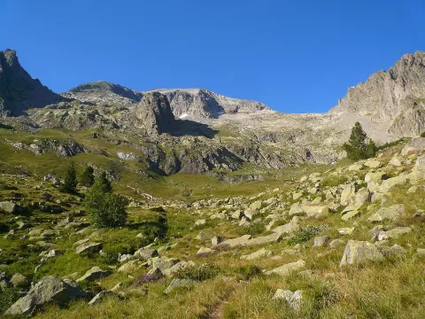
Pico Perdiguero
No reviews yet
Do you like this place? Be the first to vote
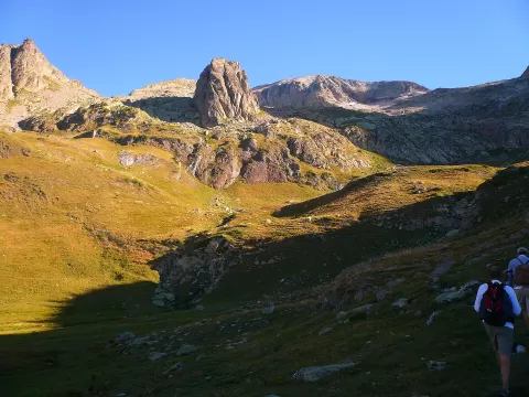
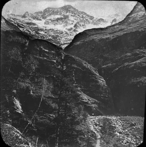
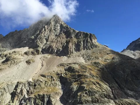
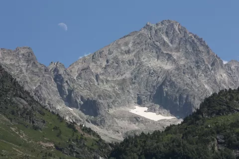
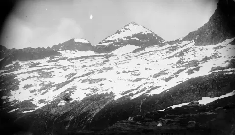
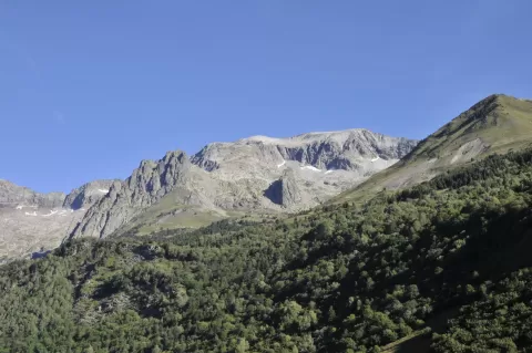
Perdiguero reaches 3222 metres on the watershed between Aragon and Haute-Garonne, on the border with France. It was first climbed by Friedrich Parrot and Pedro Barrau in 1817.
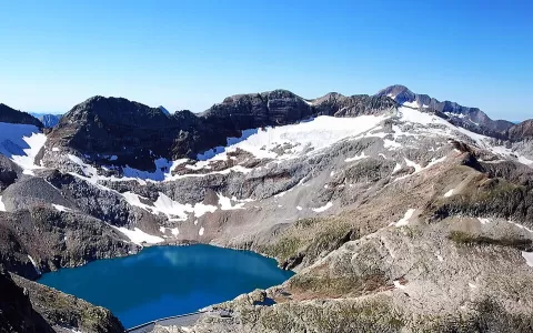
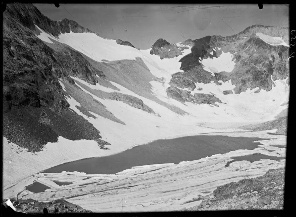
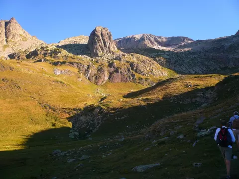
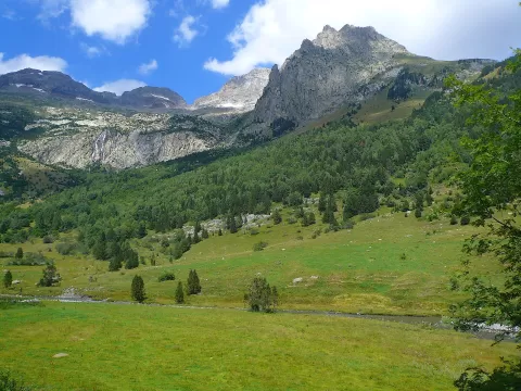
From the Spanish side there are three main routes: the Literola ravine, the Estós valley and the Remuñe valley. The Literola route is long but not technical: it passes the Ibonet de Literola and the Ibón Blanco, climbs a scree slope to the Hito Este, at 3150 metres, and follows the ridge to the summit. It is a high-mountain ascent that requires experience and good weather.
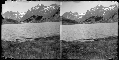
From the summit there is a wide panorama of the Huesca and French Pyrenees, with the Maladeta and Posets opposite. The ibones, or mountain lakes, on the way up make a foreground for the ridges, best first thing, before the wind picks up.
What Pico Perdiguero has to offer
More viewpoints in Huesca More hiking trails in Huesca
Best time to photograph Pico Perdiguero today, 21 November
- Sunrise7:56 – 8:56golden hour
- Sunset16:30 – 17:30golden hour
- Blue hour17:30 – 18:01at dusk
At sunrise and sunset, low-angled light brings out the landscape's texture. Arrive 20 minutes early to get a good spot.
Hashtags for your photos of Pico Perdiguero
Upload your photo with #fotoMap and help more people discover this spot. The one with the most votes becomes the cover photo.
Reviews of Pico Perdiguero
Nobody has said what it's like yet. Have you been? Be the first to tell us.
Write a review