 See all 4 photos
Upload your photo
Pico Palas
No reviews yet
Do you like this place? Be the first to vote
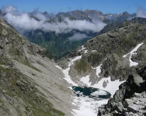
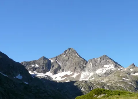
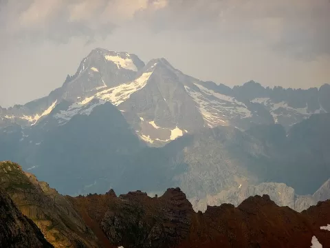
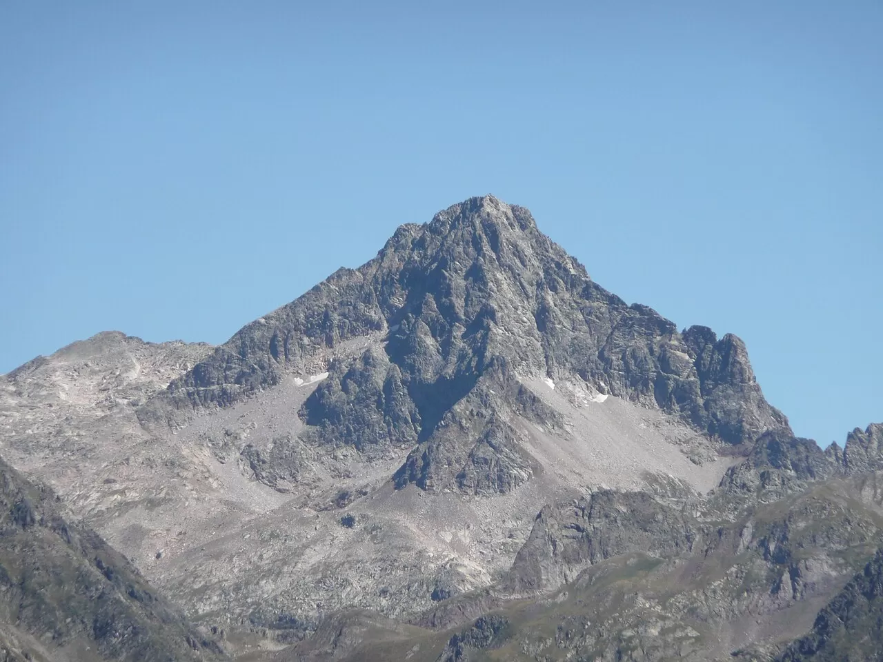
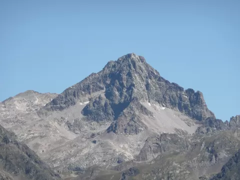
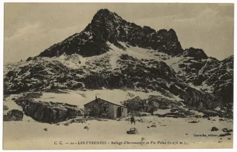
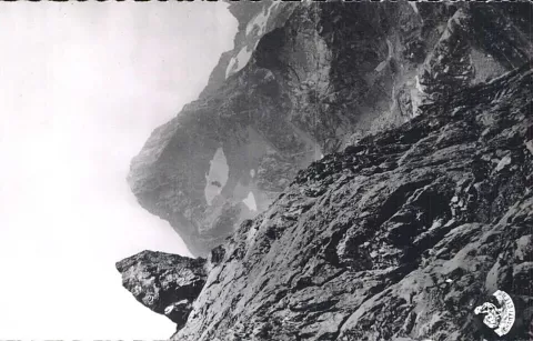
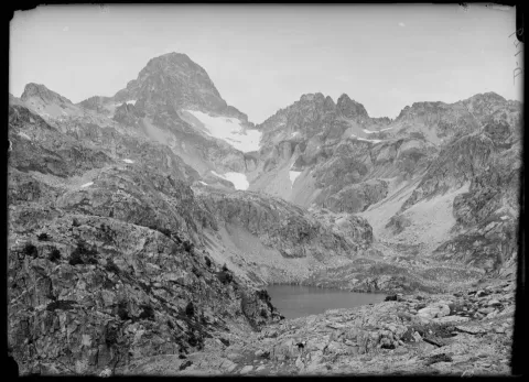
Palas, 2974 metres according to French maps and 2969 according to the IGN, is a granite summit in the Balaitús massif, on the border between Huesca and France, between the Balaitús, at 3144 metres, and the Arriel. Three cirque glaciers gave it its pyramid shape. It sits on the watershed between the Atlantic and the Mediterranean.
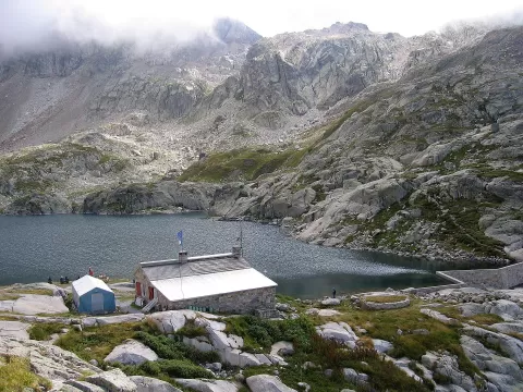
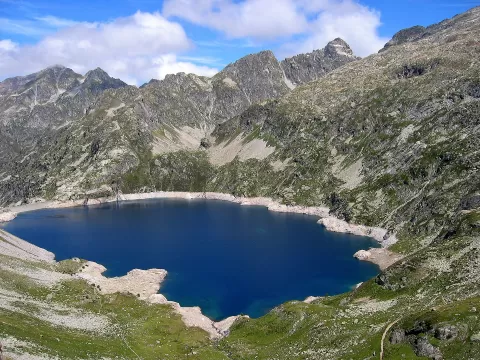
On the Spanish side lie the Arriel lakes and, on the French side, those of Artouste and Arrémoulit. From Spain the ascent goes via the Respomuso refuge and the Arriel tarns, with scrambling on the final stretch; from France, via the Arrémoulit refuge. Peytier and Hossard reached the summit in 1825 by mistake, in fog, while looking for the Balaitús.
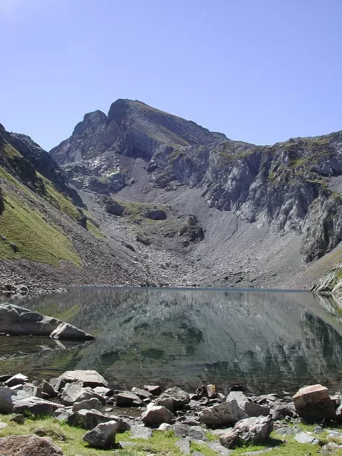
The pyramid is photographed from the Arriel tarns, with the water as foreground. First thing in the morning, with the lake calm, the whole peak is reflected.
What Pico Palas has to offer
More viewpoints in Huesca More hiking trails in Huesca
Best time to photograph Pico Palas today, 21 November
- Sunrise8:00 – 9:00golden hour
- Sunset16:33 – 17:33golden hour
- Blue hour17:33 – 18:04at dusk
At sunrise and sunset, low-angled light brings out the landscape's texture. Arrive 20 minutes early to get a good spot.
Hashtags for your photos of Pico Palas
Upload your photo with #fotoMap and help more people discover this spot. The one with the most votes becomes the cover photo.
Reviews of Pico Palas
Nobody has said what it's like yet. Have you been? Be the first to tell us.
Write a review