 See all 6 photos
Upload your photo
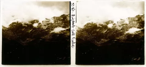
Pico Gran Facha
No reviews yet
Do you like this place? Be the first to vote
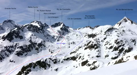
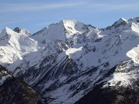
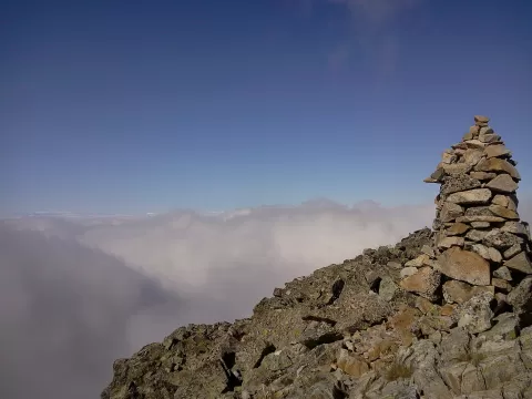
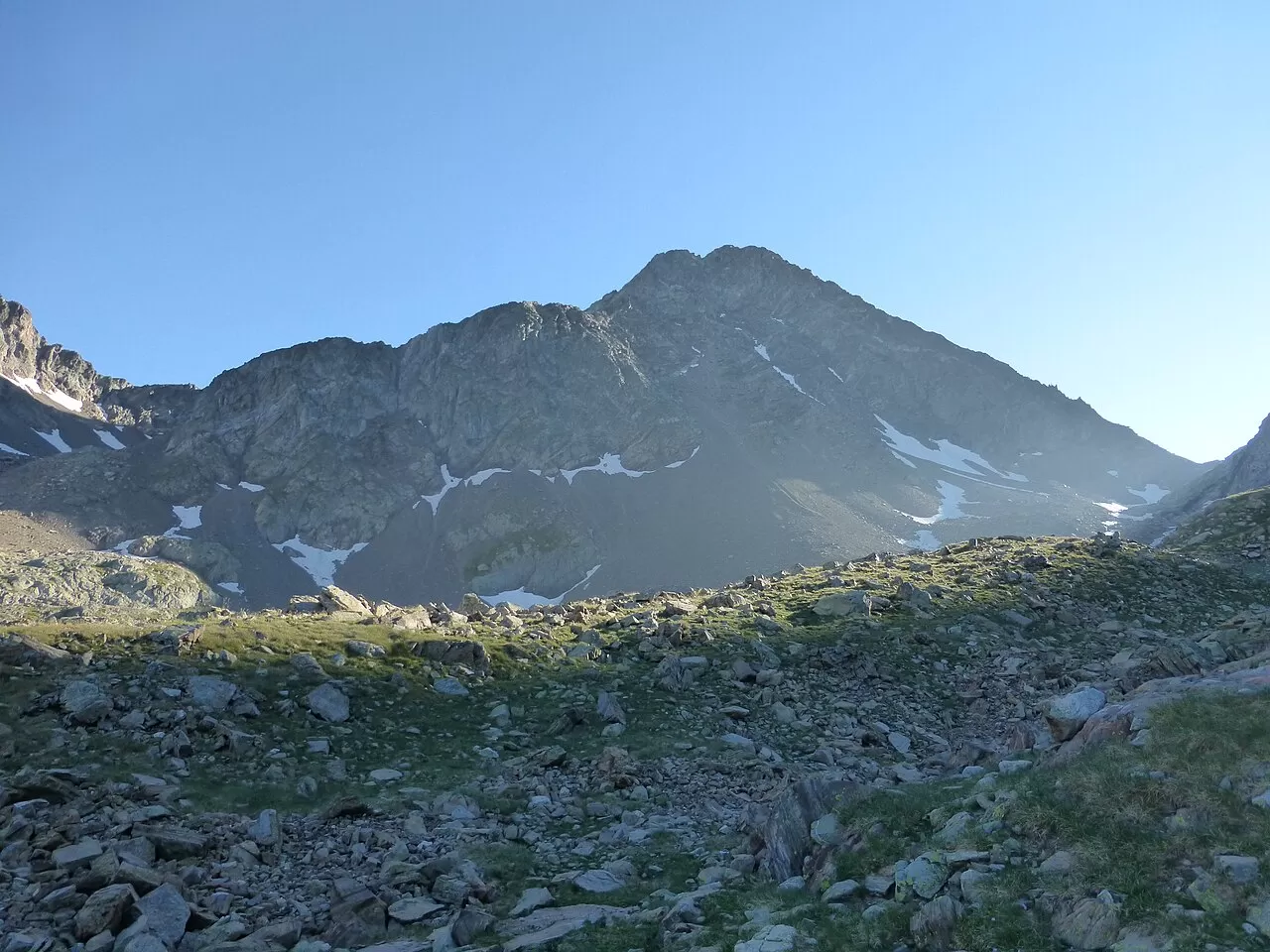
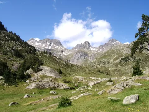
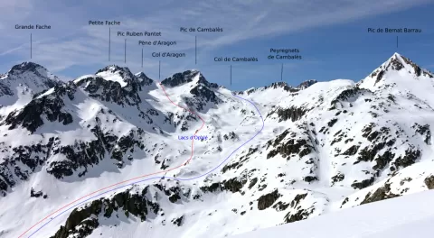
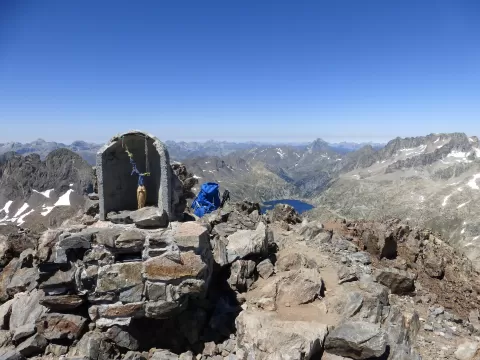
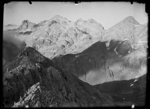
The Gran Facha, at 3,005 metres, stands on the border with France, at the centre of the Marcadau, Piedrafita and Bachimaña cirques, surrounded by ibones (mountain lakes). Its name comes from the Aragonese «faxa», a band, after the narrow ridge that runs above a sheer drop. In 1941 a French mountaineer survived a fall when her broken ice axe stuck in the snow, and in 1942 an image of Our Lady of Lourdes was carried to the summit. Today there is a small chapel there.
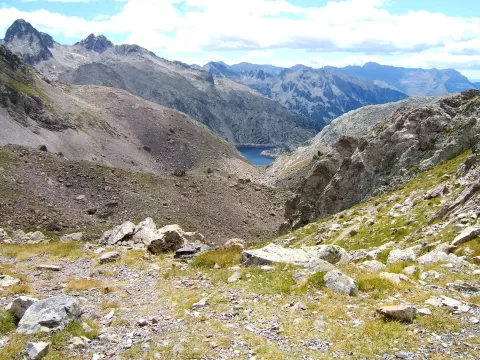
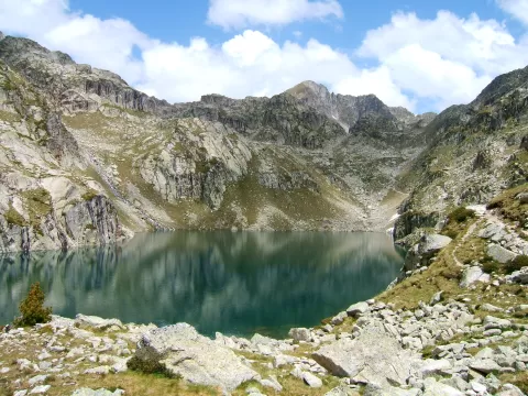
The normal Spanish route starts from the La Sarra reservoir, near Sallent de Gállego. It passes Respomuso, Campoplano and the Facha lakes up to the Facha col; the last section involves scrambling along the ridge. It is a long ascent for experienced mountaineers.
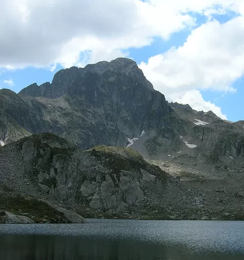
The Campoplano and Facha lakes, with the summit pyramid behind, make the best photo. When the water is still first thing in the morning, the reflection comes out clean.
What Pico Gran Facha has to offer
More viewpoints in Huesca More hiking trails in Huesca
Best time to photograph Pico Gran Facha today, 21 November
- Sunrise8:00 – 9:00golden hour
- Sunset16:33 – 17:33golden hour
- Blue hour17:33 – 18:04at dusk
At sunrise and sunset, low-angled light brings out the landscape's texture. Arrive 20 minutes early to get a good spot.
Hashtags for your photos of Pico Gran Facha
Upload your photo with #fotoMap and help more people discover this spot. The one with the most votes becomes the cover photo.
Reviews of Pico Gran Facha
Nobody has said what it's like yet. Have you been? Be the first to tell us.
Write a review