 See all 6 photos
Upload your photo

Pico de Vallibierna
No reviews yet
Do you like this place? Be the first to vote
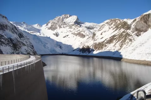
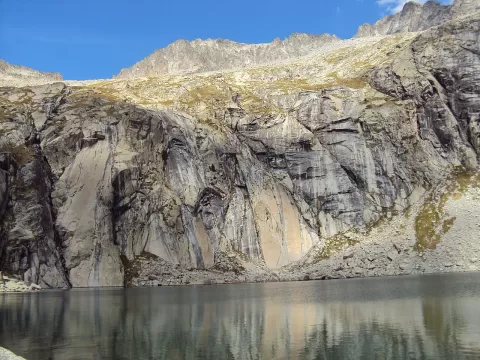
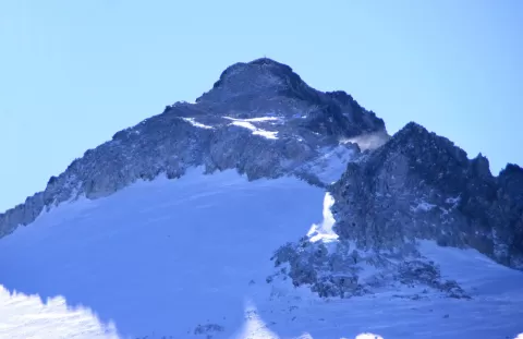
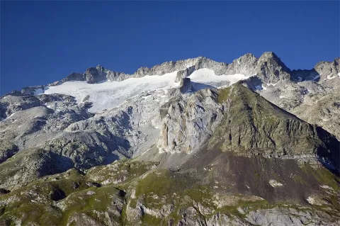
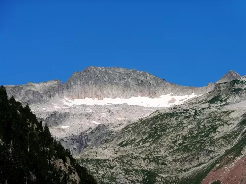
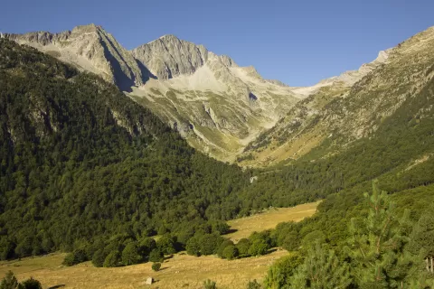
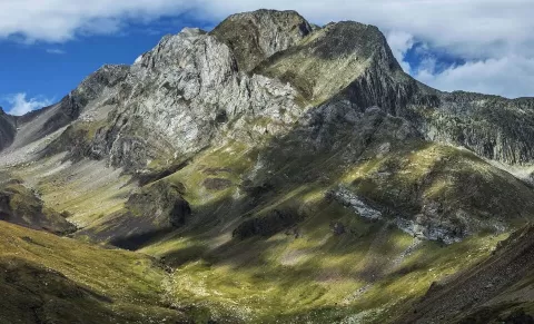
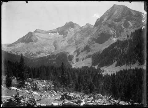
Pico de Vallibierna, at 3,067 metres, rises to the south of the Maladeta massif, in the Huesca Pyrenees, between the municipalities of Benasque and Montanuy. It forms a small massif with the Tuca de Culebras, at 3,062 metres, and between the two summits runs the Paso del Caballo, a grade II- ridge that is most comfortably crossed astride.
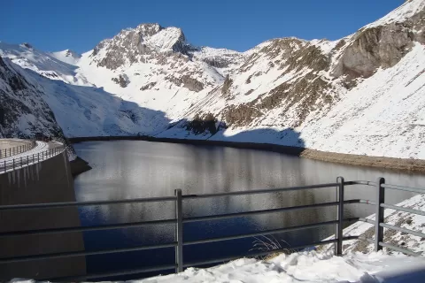
The normal route starts from the Cap de Llauset refuge and climbs straight up to the Coma Arnau ibones (mountain lakes). Another option starts from the Llauset lake, at 2,135 metres: about two hours to the Llauset col and then along the ridge to the Tuca de Culebras.
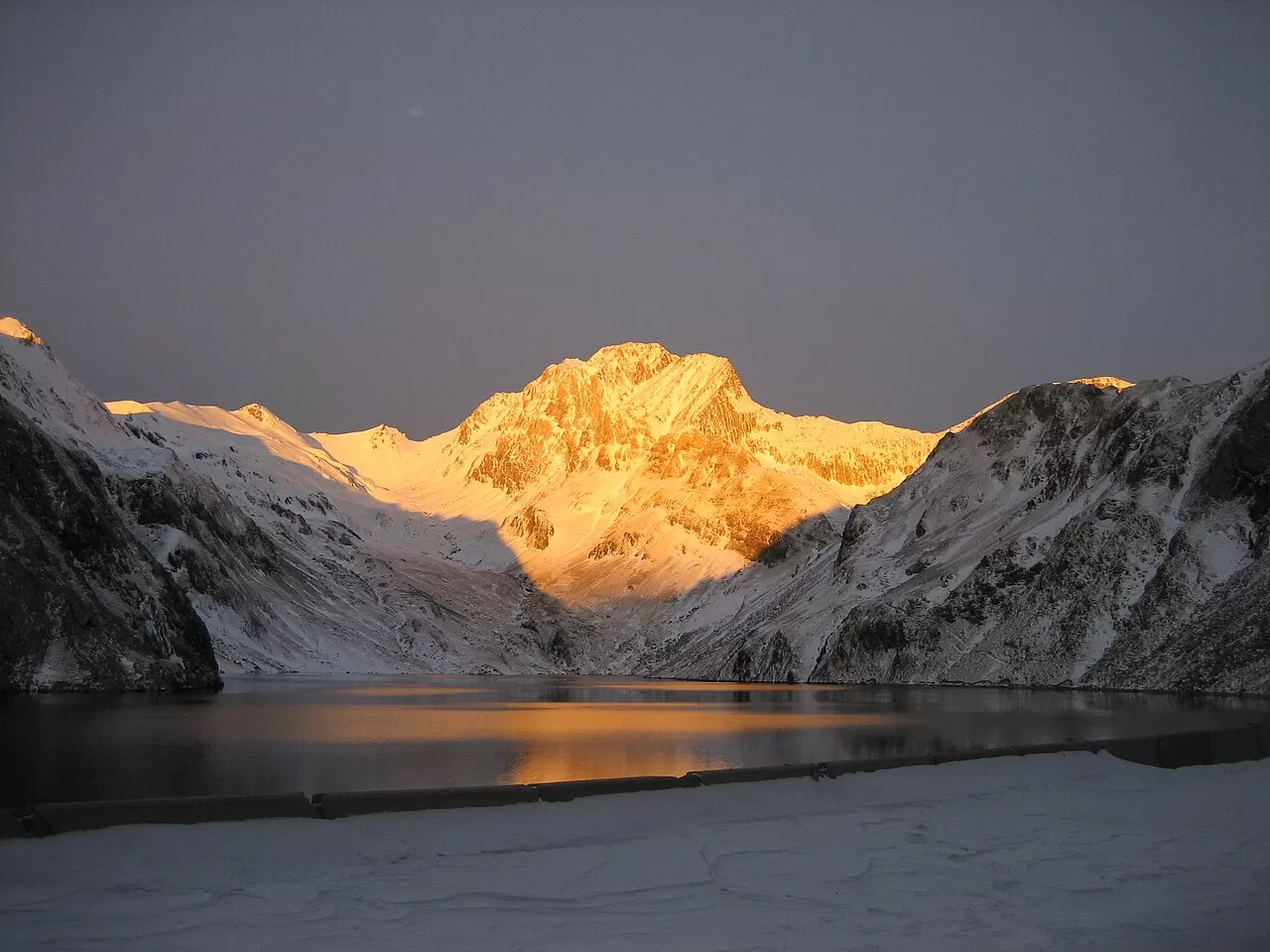
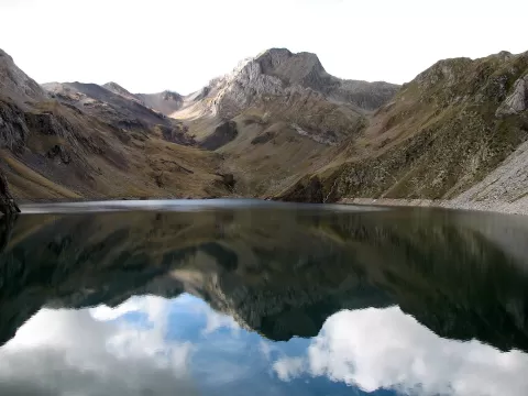
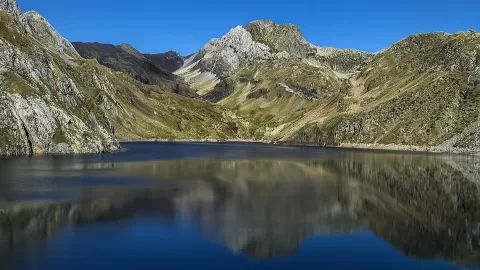
The Coma Arnau lakes, with the summit behind, are the natural foreground. In the first light of the day the rock warms up and the still water doubles the mountain.
What Pico de Vallibierna has to offer
More viewpoints in Huesca More hiking trails in Huesca
Best time to photograph Pico de Vallibierna today, 21 November
- Sunrise7:56 – 8:56golden hour
- Sunset16:30 – 17:30golden hour
- Blue hour17:30 – 18:01at dusk
At sunrise and sunset, low-angled light brings out the landscape's texture. Arrive 20 minutes early to get a good spot.
Hashtags for your photos of Pico de Vallibierna
Upload your photo with #fotoMap and help more people discover this spot. The one with the most votes becomes the cover photo.
Reviews of Pico de Vallibierna
Nobody has said what it's like yet. Have you been? Be the first to tell us.
Write a review