 See all 6 photos
Upload your photo
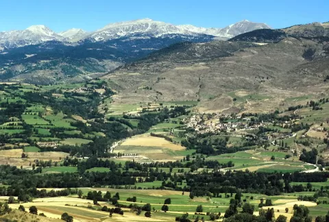
Pico de la Portelleta
No reviews yet
Do you like this place? Be the first to vote
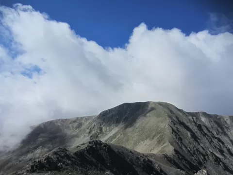
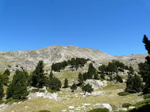
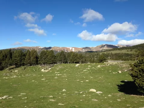
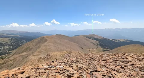
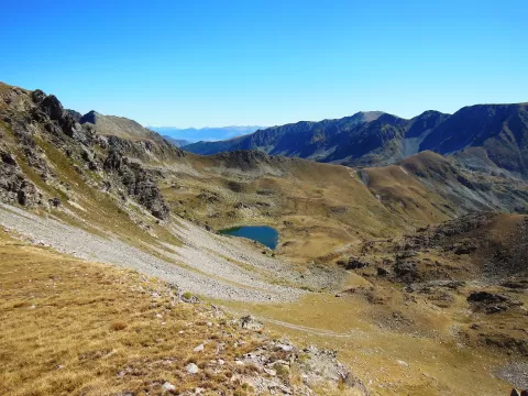
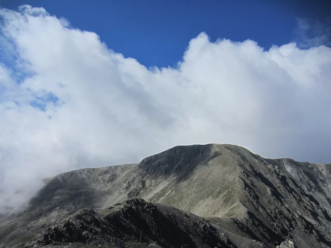
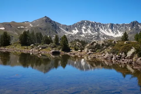
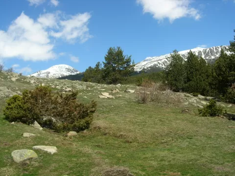
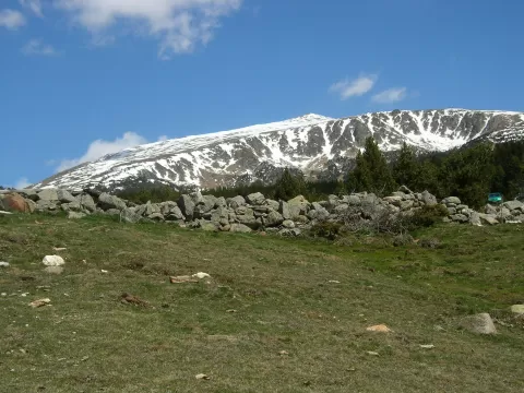
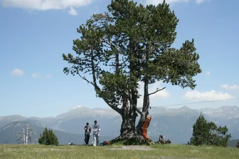
Pico de la Portelleta, called Tossa Plana de Lles on the Cerdanya side, is between 2,905 and 2,916 metres high, depending on the source. It is the highest point in Baixa Cerdanya and the second-highest summit in the Cerdanya, after Carlit. It lies on the border between Lles de Cerdanya and the Andorran parish of Escaldes-Engordany.
From Martinet, the LV-4036 road climbs to Lles and a tarmac track continues to the Cap del Rec cross-country ski resort, the usual starting point for the route: about 950 metres of ascent and moderate difficulty. Another option starts from the Pradell refuge, whose key can be obtained at Cap del Rec or from Lles town council. In winter it is climbed on snowshoes.
The summit is a broad rounded ridge, hence the name tossa plana («flat summit»). Side light early or late in the day gives relief to the slopes of grass and stone; with snow, the contrast is at its greatest.
What Pico de la Portelleta has to offer
More viewpoints in Lleida More hiking trails in Lleida
Best time to photograph Pico de la Portelleta today, 21 November
- Sunrise7:51 – 8:51golden hour
- Sunset16:26 – 17:26golden hour
- Blue hour17:26 – 17:57at dusk
At sunrise and sunset, low-angled light brings out the landscape's texture. Arrive 20 minutes early to get a good spot.
Hashtags for your photos of Pico de la Portelleta
Upload your photo with #fotoMap and help more people discover this spot. The one with the most votes becomes the cover photo.
Reviews of Pico de la Portelleta
Nobody has said what it's like yet. Have you been? Be the first to tell us.
Write a review