 See all 6 photos
Upload your photo
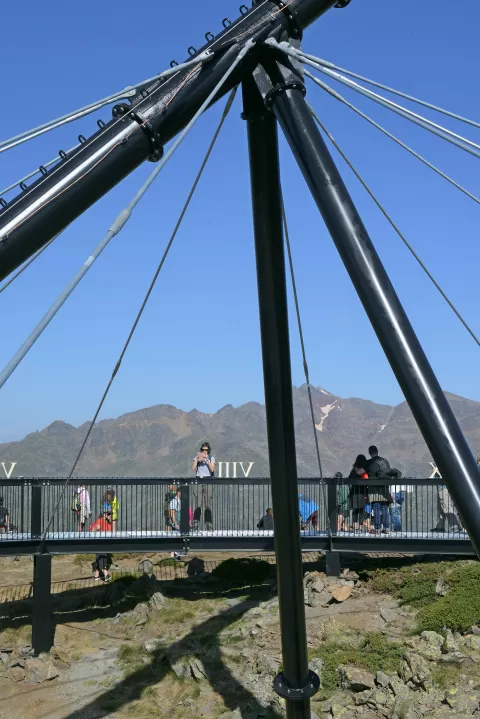
Pica d'Estats
No reviews yet
Do you like this place? Be the first to vote
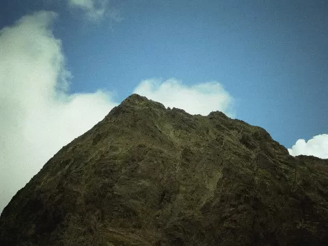
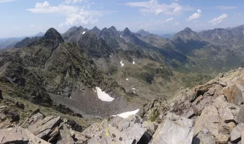
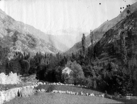
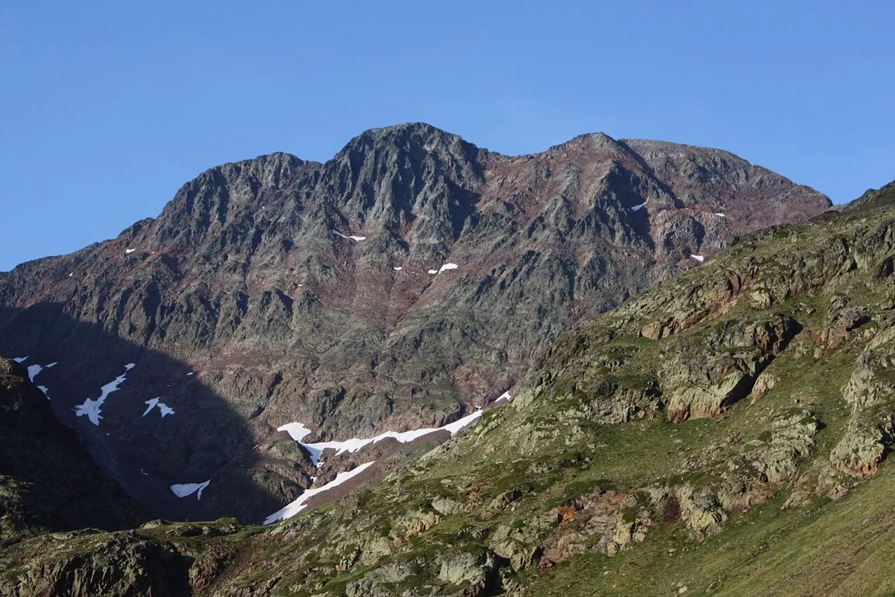
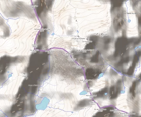
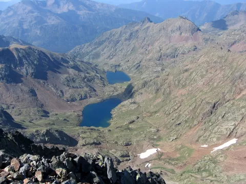
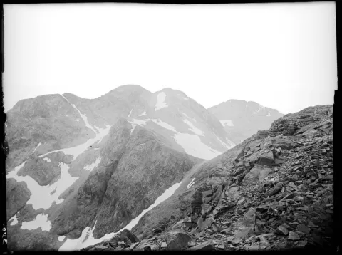
At 3,143 metres, the Pica d'Estats is the highest mountain in Catalonia. It stands on the border, between the Pallars Sobirà and the Ariège, at the head of the Vall Ferrera, within the Montcalm massif and the Alt Pirineu Natural Park. It has three summits very close together: the central one, which is the highest; the western one, or Pic Verdaguer; and the eastern one, or Punta Gabarró.
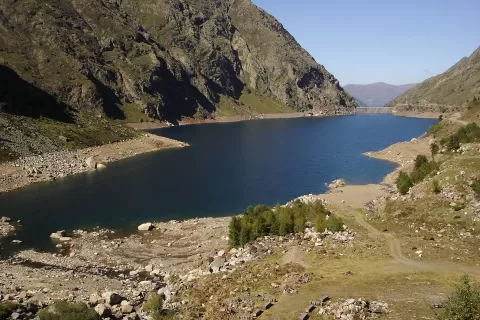
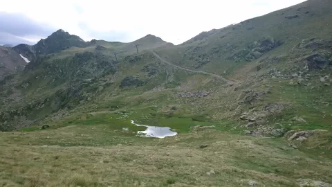
On the Spanish side you climb from Areu, passing the Vall Ferrera refuge and the Port de Sotllo, where the route briefly enters France beside the Estany de la Cometa before climbing back up to the Coll de Riufred. It takes about six or seven hours with some 1,500 metres of ascent, with no particular technical difficulties. Once on the ridge, you can move from one summit to another without trouble.
What Pica d'Estats has to offer
More viewpoints in Lleida More hiking trails in Lleida
Best time to photograph Pica d'Estats today, 21 November
- Sunrise7:53 – 8:53golden hour
- Sunset16:27 – 17:27golden hour
- Blue hour17:27 – 17:57at dusk
At sunrise and sunset, low-angled light brings out the landscape's texture. Arrive 20 minutes early to get a good spot.
Hashtags for your photos of Pica d'Estats
Upload your photo with #fotoMap and help more people discover this spot. The one with the most votes becomes the cover photo.
Reviews of Pica d'Estats
Nobody has said what it's like yet. Have you been? Be the first to tell us.
Write a review