 See all 6 photos
Upload your photo
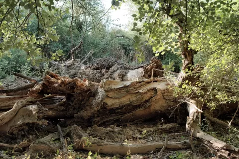
Parque regional del Sureste
No reviews yet
Do you like this place? Be the first to vote
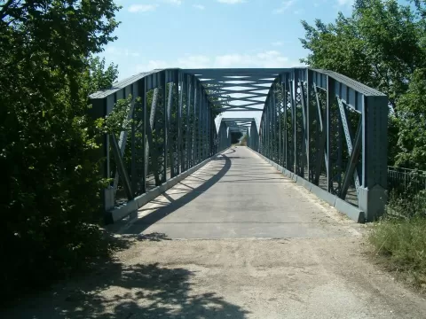
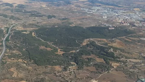
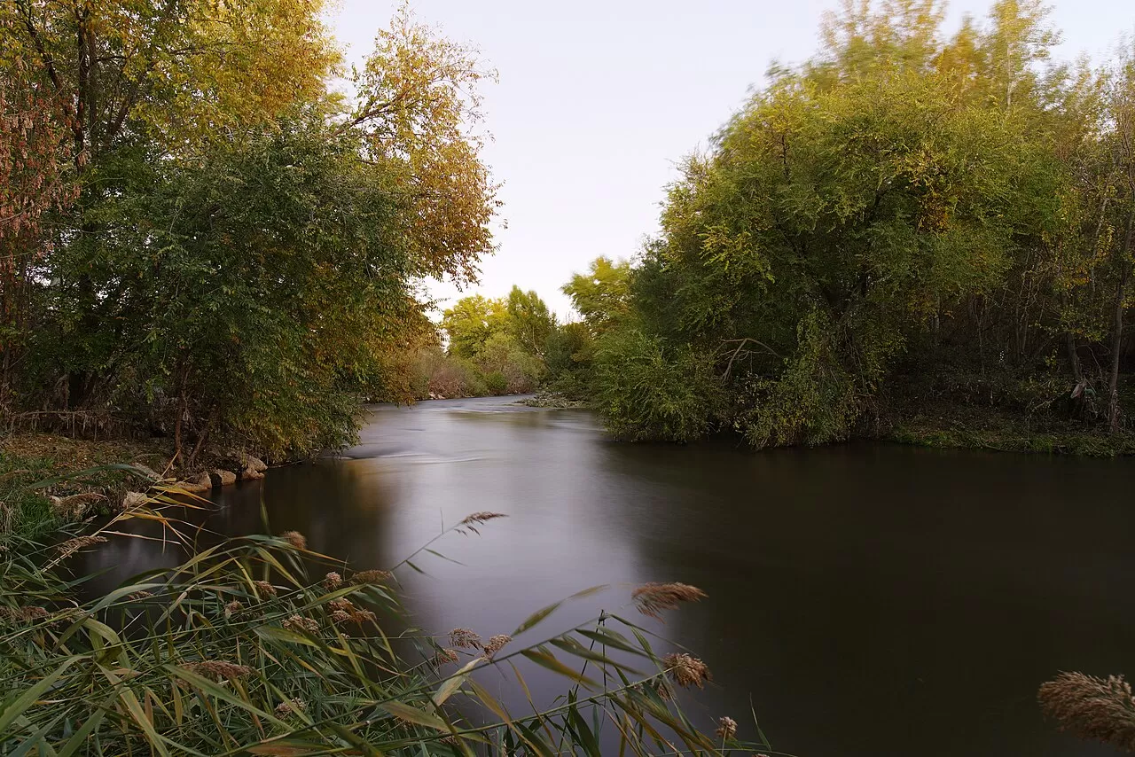
The Regional Park around the lower courses of the Manzanares and Jarama rivers, known as the Parque Regional del Sureste, has protected some 31,552 hectares in the south-east of the Community of Madrid since 1994. It is shared by 17 municipalities, among them Rivas-Vaciamadrid, Arganda del Rey, San Martín de la Vega, Ciempozuelos, Titulcia, Chinchón, Aranjuez, Getafe and Madrid.
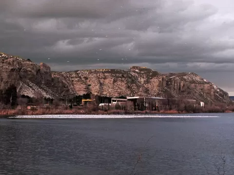
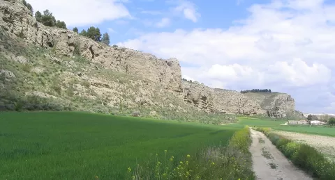
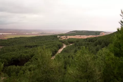
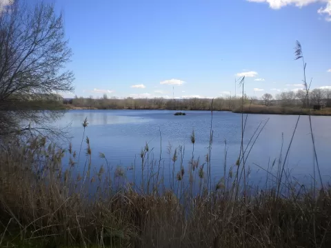
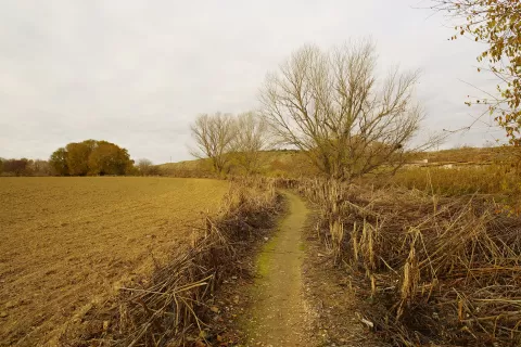
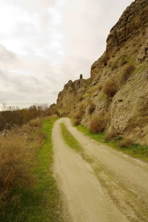
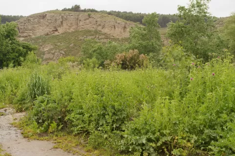
It is a landscape of riverside plains, cereal fields, gypsum cliffs and escarpments on the hills, riverside woods and 123 lagoons, such as Las Madres in Arganda or the Ciempozuelos lagoons. The Cerros de la Marañosa hills, 698 metres high, are one of its best-known spots.
The signature photo is the gypsum cliffs above the riverside woods, with the lagoons at their foot. Low light at the start or end of the day brings out the relief of the gypsum; at midday it looks flat.
What Parque regional del Sureste has to offer
Best time to photograph Parque regional del Sureste today, 21 November
- Sunrise8:06 – 9:06golden hour
- Sunset16:53 – 17:53golden hour
- Blue hour17:53 – 18:22at dusk
Golden hour gives the most beautiful light: warm, soft and with long shadows.
Hashtags for your photos of Parque regional del Sureste
Upload your photo with #fotoMap and help more people discover this spot. The one with the most votes becomes the cover photo.
Reviews of Parque regional del Sureste
Nobody has said what it's like yet. Have you been? Be the first to tell us.
Write a review