 See all 6 photos
Upload your photo
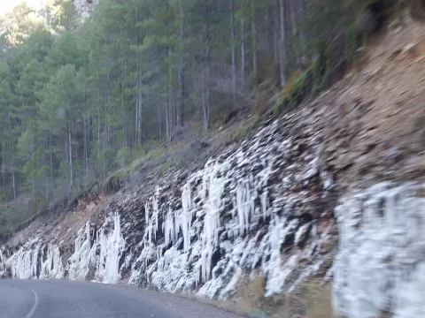
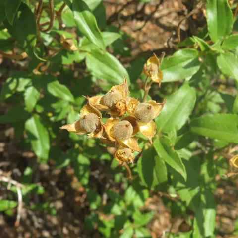
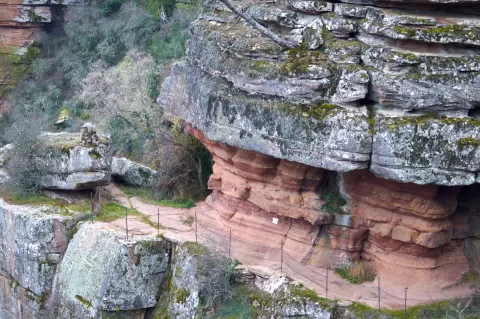
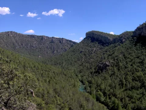
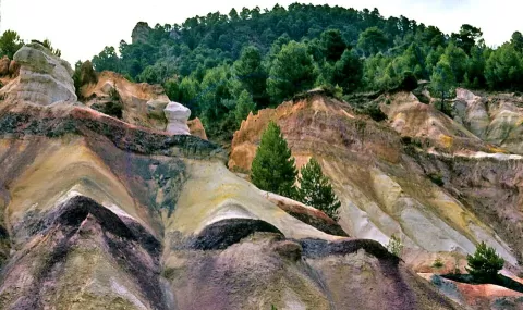
Parque natural del Alto Tajo
No reviews yet
Do you like this place? Be the first to vote
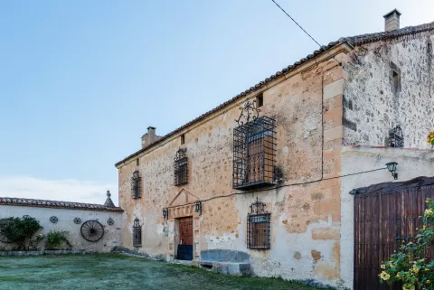
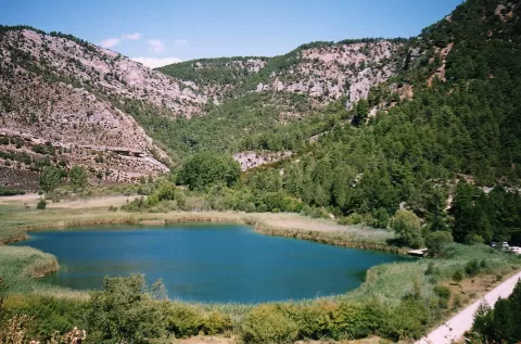
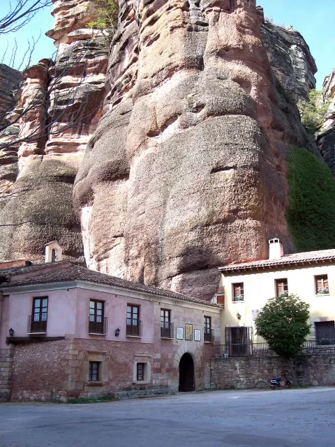
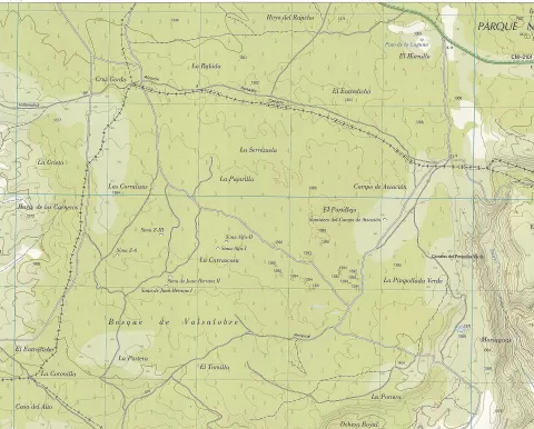
The Alto Tajo Natural Park, created in 2000, protects 105,721 hectares of park and another 68,824 of buffer zone in the south-east of Guadalajara and the north-east of Cuenca. Here the Tagus and its tributaries run deeply entrenched between rock walls for dozens of kilometres.
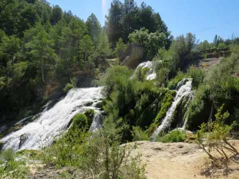
The San Pedro bridge, in Zaorejas, is close to the confluence with the Gallo. From there to Ocentejo stretches the Hundido de Armallones, some 25 kilometres with the deepest cliffs in the park, attributed to a 16th-century earthquake. The Salto de Poveda is a waterfall of about 20 metres that once powered a hydroelectric plant.
The gorges look their best from above, with the river at the bottom, and call for mid-morning or mid-afternoon light so that the sun reaches into the canyon. On the cliffs it is easy to see griffon vultures in flight.
What Parque natural del Alto Tajo has to offer
Best time to photograph Parque natural del Alto Tajo today, 21 November
- Sunrise8:01 – 9:01golden hour
- Sunset16:46 – 17:46golden hour
- Blue hour17:46 – 18:15at dusk
Golden hour gives the most beautiful light: warm, soft and with long shadows.
Hashtags for your photos of Parque natural del Alto Tajo
Upload your photo with #fotoMap and help more people discover this spot. The one with the most votes becomes the cover photo.
Reviews of Parque natural del Alto Tajo
Nobody has said what it's like yet. Have you been? Be the first to tell us.
Write a review