 See all 6 photos
Upload your photo
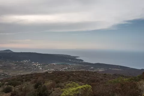
Pantelleria Island
No reviews yet
Do you like this place? Be the first to vote
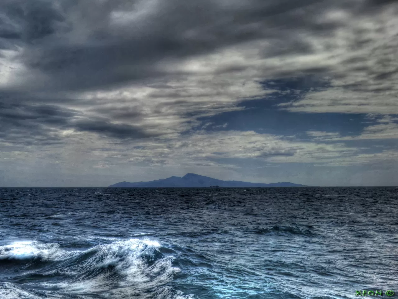
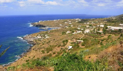
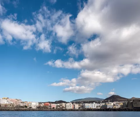
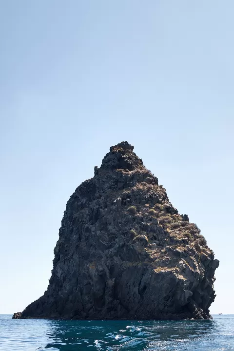
Pantelleria is the emerged part of a volcano in the Strait of Sicily, 110 km south-west of Sicily and 65 km from the coast of Tunisia. It covers more than 80 km² and its highest point is Montagna Grande, at 836 metres.
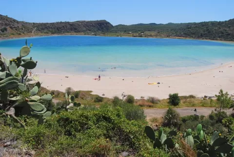
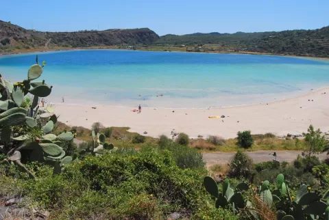
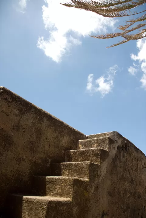
In the north is the Specchio di Venere, a small lake that fills the remains of an ancient caldera and is fed by hot springs; you can swim in it. Across the island are the dammusi, cube-shaped houses with dry-stone walls and white vaulted roofs, and the giardini panteschi, circular enclosures of volcanic stone that shelter a citrus tree from the wind.
The island's bush-trained vines, which produce zibibbo and passito, have been Intangible Cultural Heritage of Humanity since 2014. At Cimillia around a hundred sesi, prehistoric lava-stone tombs, survive, and at Favara Grande you can see the volcano's hydrothermal activity.
What Pantelleria Island has to offer
More viewpoints in Trapani More caves and rock formations in Trapani More beaches and coves in Trapani
Best time to photograph Pantelleria Island today, 21 November
- Sunrise6:56 – 7:56golden hour
- Sunset15:59 – 16:59golden hour
- Blue hour16:59 – 17:27at dusk
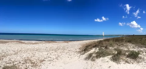
At sunset the sea turns orange; at low tide you get reflections on the wet sand.
Hashtags for your photos of Pantelleria Island
Upload your photo with #fotoMap and help more people discover this spot. The one with the most votes becomes the cover photo.
Reviews of Pantelleria Island
Nobody has said what it's like yet. Have you been? Be the first to tell us.
Write a review