 See all 6 photos
Upload your photo
Oléron Island
No reviews yet
Do you like this place? Be the first to vote
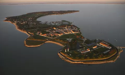
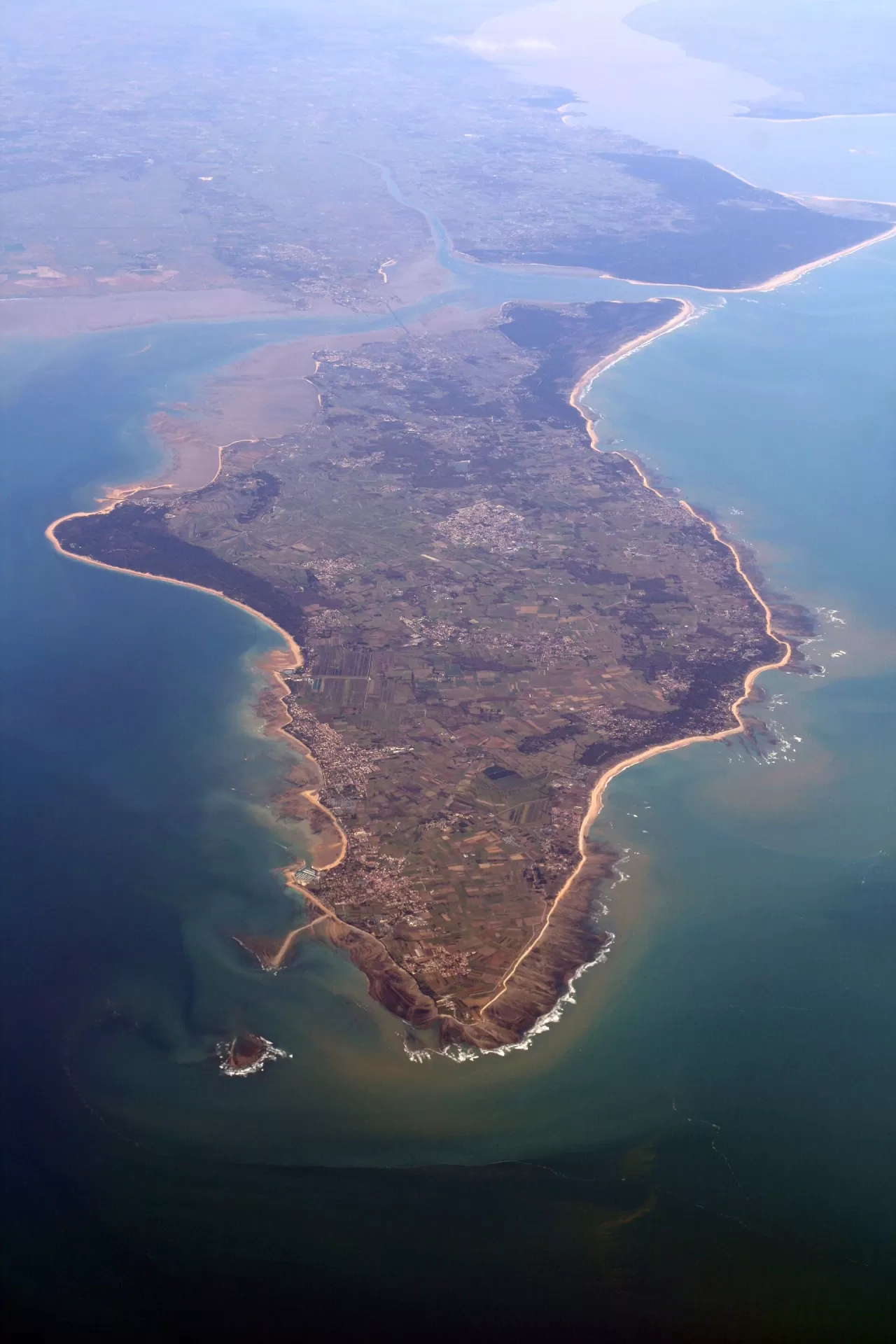
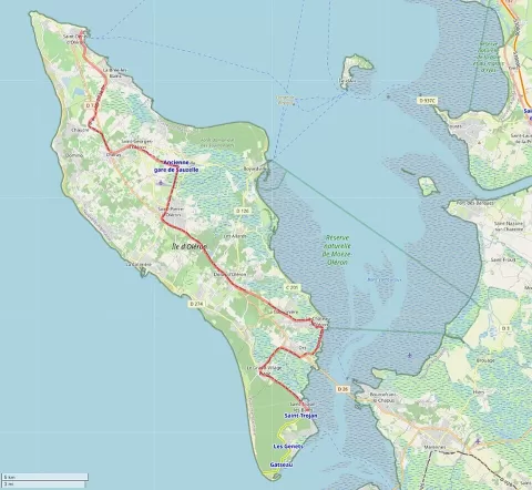
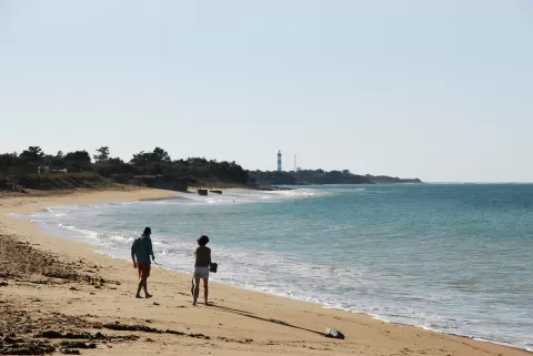
Oléron Island lies in the Bay of Biscay, off the coast of Charente-Maritime, and covers 174 km², about 30 km long and up to 8 km wide. It is the second-largest island in metropolitan France after Corsica and has been linked to the mainland since 1966 by a bridge 2,862 metres long.
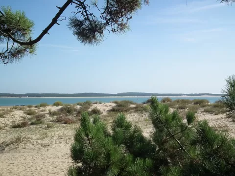
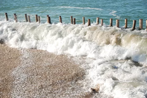
The west coast has some 60 km of sandy beaches, and public forests cover 2,900 hectares; the forest of Saint-Trojan is the largest on the French Atlantic islands. In the north, between La Brée-les-Bains and Saint-Denis, there are dune forests and the Seullières dunes, and the Chassiron lighthouse stands on the northern tip.
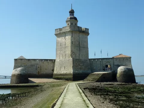
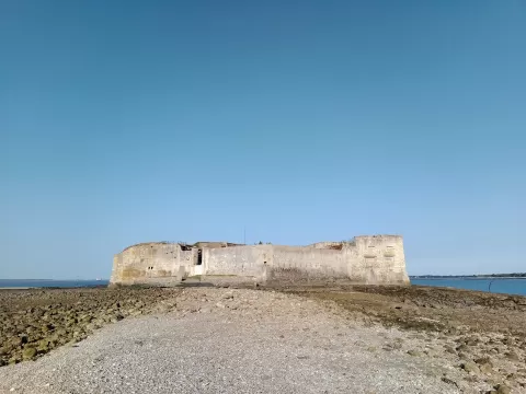
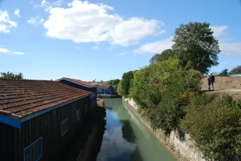
Marennes-Oléron oysters are finished in the claires, former salt pans, where a microalga gives them a greenish tint. From the east coast, opposite the Saumonards forest, Fort Boyard can be seen about 2 km away; Napoleon had it built to protect the mouth of the Charente and the Rochefort arsenal.
What Oléron Island has to offer
More viewpoints in Charente-Maritime More beaches and coves in Charente-Maritime
Best time to photograph Oléron Island today, 21 November
- Sunrise8:13 – 9:13golden hour
- Sunset16:28 – 17:28golden hour
- Blue hour17:28 – 18:01at dusk
At sunset the sea turns orange; at low tide you get reflections on the wet sand.
Hashtags for your photos of Oléron Island
Upload your photo with #fotoMap and help more people discover this spot. The one with the most votes becomes the cover photo.
Reviews of Oléron Island
Nobody has said what it's like yet. Have you been? Be the first to tell us.
Write a review