 See all 6 photos
Upload your photo
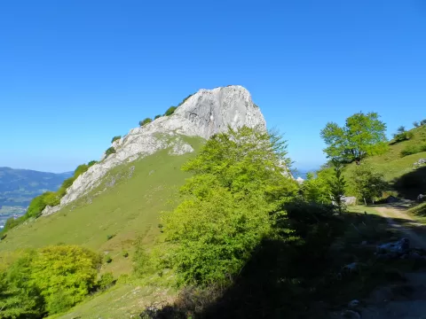
Mugarra
No reviews yet
Do you like this place? Be the first to vote
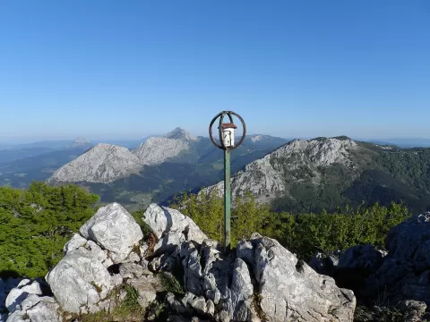
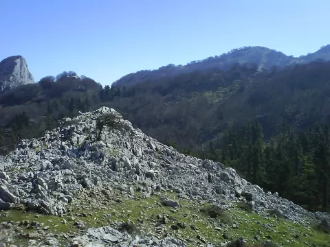
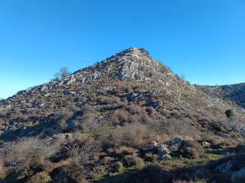
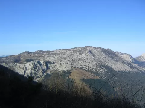
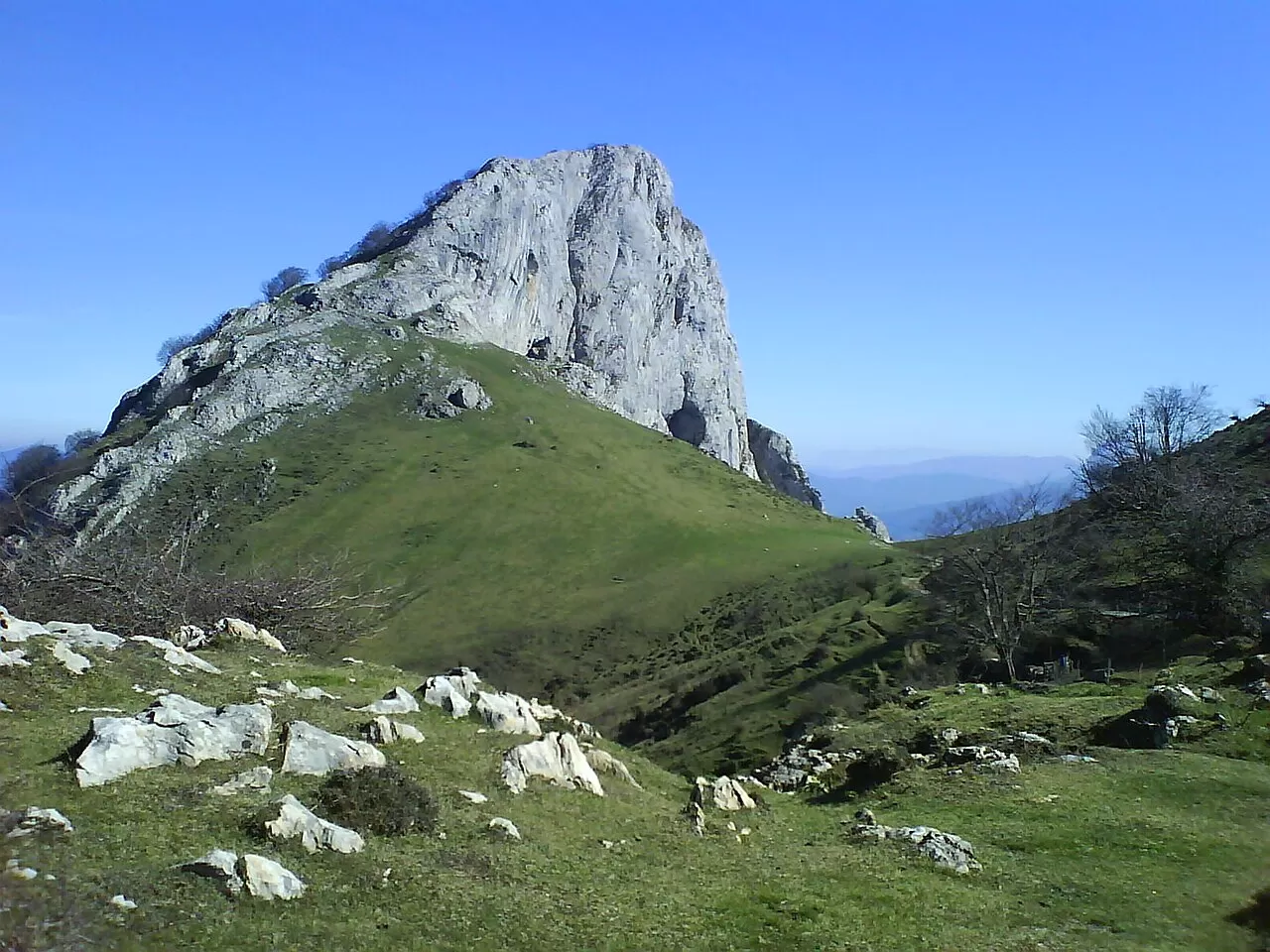
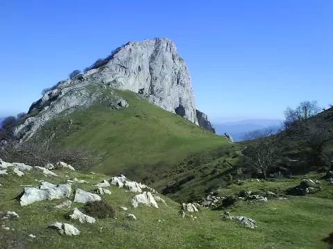
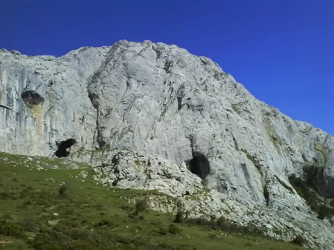
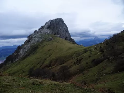
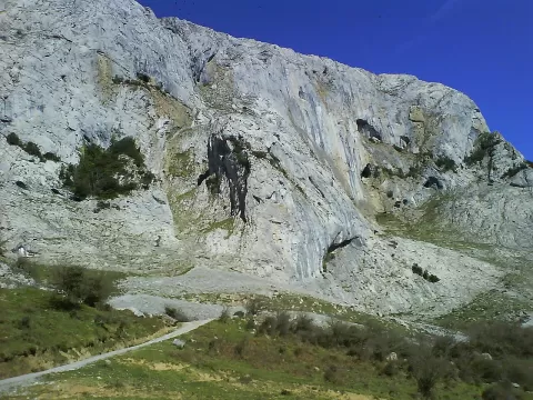
Mugarra, at 964 metres, closes off the western end of the Aramotz range, in the Durangaldea mountains, and continues the ridge of Anboto, Alluitz and Untzillaitz. The whole range lies within Urkiola Natural Park. Its south face is a limestone cliff more than 300 metres high where over 60 pairs of vultures nest; the north face, above Durango, is covered in beech and Cantabrian holm oak.
From Mañaria a good track climbs in about 2 hours to the Mugarrikolanda col, which has a spring, and from there an easy path follows the west ridge to the summit. From Durango it takes about 2 h 30 min via the Kataska gully. Climbing on the spur is usually banned because of nesting.
The best photo of the spur is taken from below, from Izurtza or Mañaria, with the village in the foreground. With luck, vultures gliding along the wall give a sense of scale.
What Mugarra has to offer
More viewpoints in Biscay More hiking trails in Biscay
Best time to photograph Mugarra today, 21 November
- Sunrise8:10 – 9:10golden hour
- Sunset16:42 – 17:42golden hour
- Blue hour17:42 – 18:13at dusk
At sunrise and sunset, low-angled light brings out the landscape's texture. Arrive 20 minutes early to get a good spot.
Hashtags for your photos of Mugarra
Upload your photo with #fotoMap and help more people discover this spot. The one with the most votes becomes the cover photo.
Reviews of Mugarra
Nobody has said what it's like yet. Have you been? Be the first to tell us.
Write a review