 See all 6 photos
Upload your photo
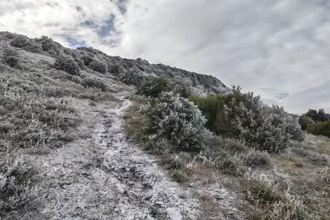
Montes Obarenes-San Zadornil Natural Park
No reviews yet
Do you like this place? Be the first to vote
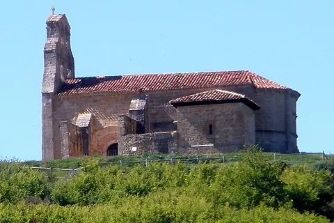
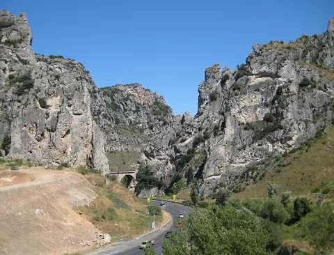
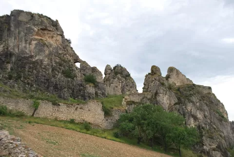
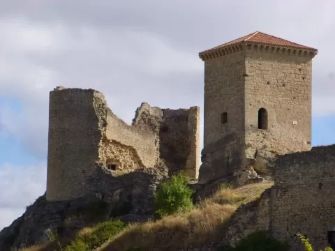
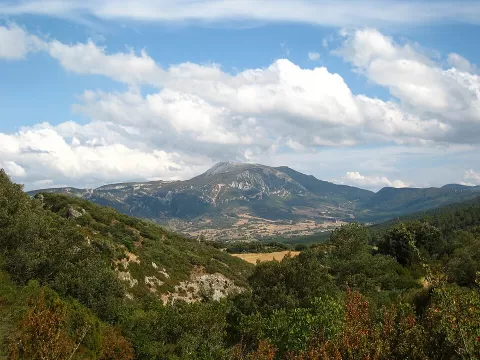
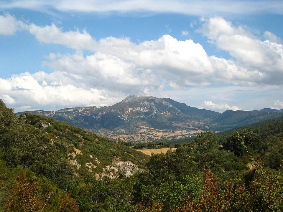
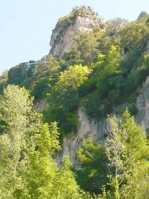
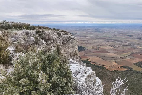
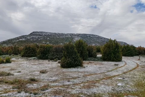
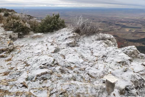
Montes Obarenes-San Zadornil Natural Park covers 33,064 hectares of northern Burgos and was created in 2006. It lies at the hinge between the Cantabrian Mountains and the Pyrenees, with a landscape of synclines, anticlines, canyons, gorges, ravines and meanders. Its highest point is Pico Humión, at around 1,437 metres. It includes 53 settlements and municipalities such as Frías, Oña, Pancorbo and Valle de Tobalina.
It is home to the European mink, the native white-clawed crayfish and Bonelli's eagle. The park is a stopover and wintering area for waterbirds. There is a visitor centre in Pancorbo.
The Hoces de Sobrón, where the Ebro cuts its way between rock walls, and the gorge of the River Purón, with Scots pine forest on its north side, are the most photogenic landscapes. In autumn the colour of the woods adds a great deal to the canyons.
What Montes Obarenes-San Zadornil Natural Park has to offer
Best time to photograph Montes Obarenes-San Zadornil Natural Park today, 22 November
- Sunrise8:12 – 9:12golden hour
- Sunset16:44 – 17:44golden hour
- Blue hour17:44 – 18:15at dusk
Golden hour gives the most beautiful light: warm, soft and with long shadows.
Hashtags for your photos of Montes Obarenes-San Zadornil Natural Park
Upload your photo with #fotoMap and help more people discover this spot. The one with the most votes becomes the cover photo.
Reviews of Montes Obarenes-San Zadornil Natural Park
Nobody has said what it's like yet. Have you been? Be the first to tell us.
Write a review