 See all 6 photos
Upload your photo
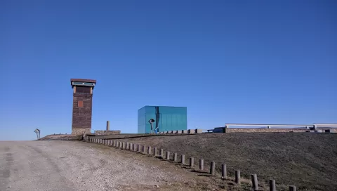
Monte Faro
No reviews yet
Do you like this place? Be the first to vote
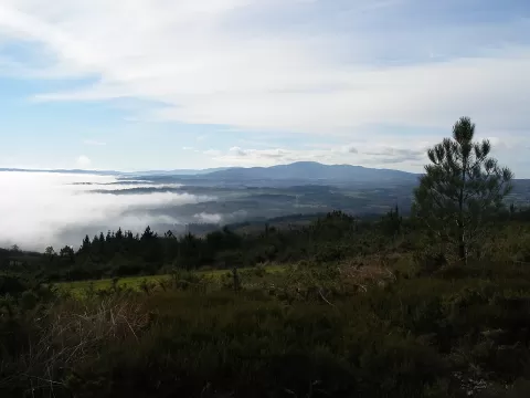
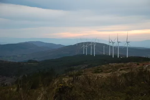
Monte Faro, at 1,187 metres, is the highest peak of the Serra do Faro and marks the boundary between the municipalities of Chantada, in Lugo, and Rodeiro, in Pontevedra. The range separates the Deza and Chantada districts and the Miño and Ulla basins; heavily fractured granite dominates it. The mountain is a special area of conservation.
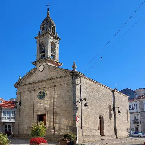
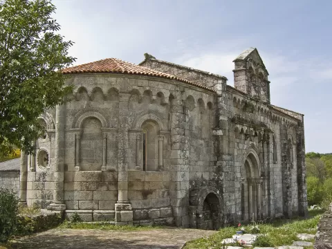
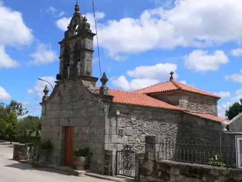
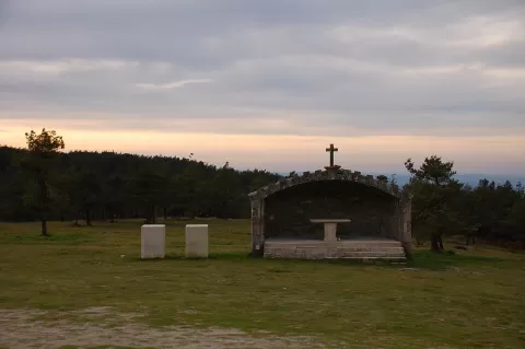
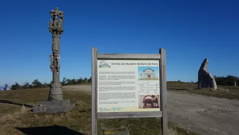
Near the summit, on a small plateau, stands the sanctuary of Nosa Señora do Faro. It holds two pilgrimages, on 15 August and on 8 September, the main one; some pilgrims climb the Costa das Cruces on their knees. The PR-G 7 hiking trail crosses the mountain.
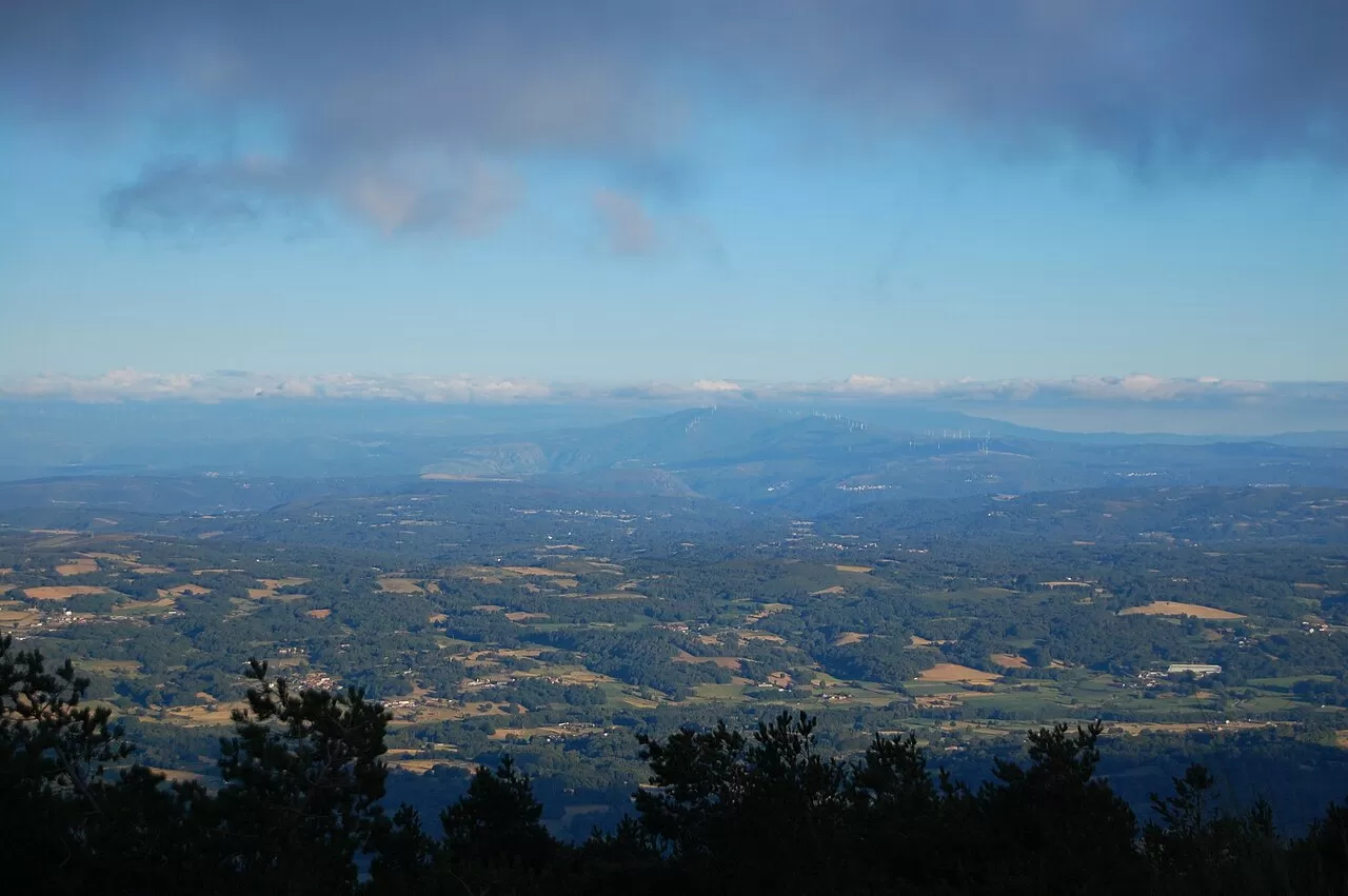
From the top you can see all four Galician provinces. For photos, the sanctuary with the open horizon behind it is the defining frame of the place.
What Monte Faro has to offer
More viewpoints in Lugo More hiking trails in Lugo
Best time to photograph Monte Faro today, 21 November
- Sunrise8:30 – 9:30golden hour
- Sunset17:04 – 18:04golden hour
- Blue hour18:04 – 18:35at dusk
At sunrise and sunset, low-angled light brings out the landscape's texture. Arrive 20 minutes early to get a good spot.
Hashtags for your photos of Monte Faro
Upload your photo with #fotoMap and help more people discover this spot. The one with the most votes becomes the cover photo.
Reviews of Monte Faro
Nobody has said what it's like yet. Have you been? Be the first to tell us.
Write a review