 See all 6 photos
Upload your photo
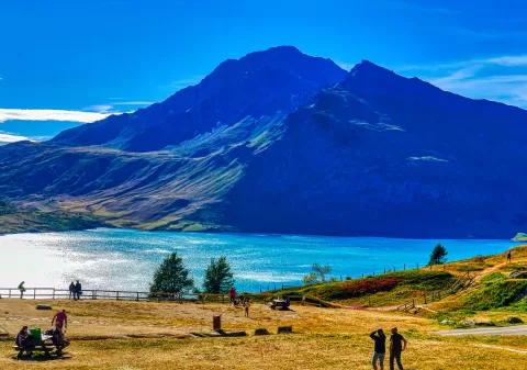
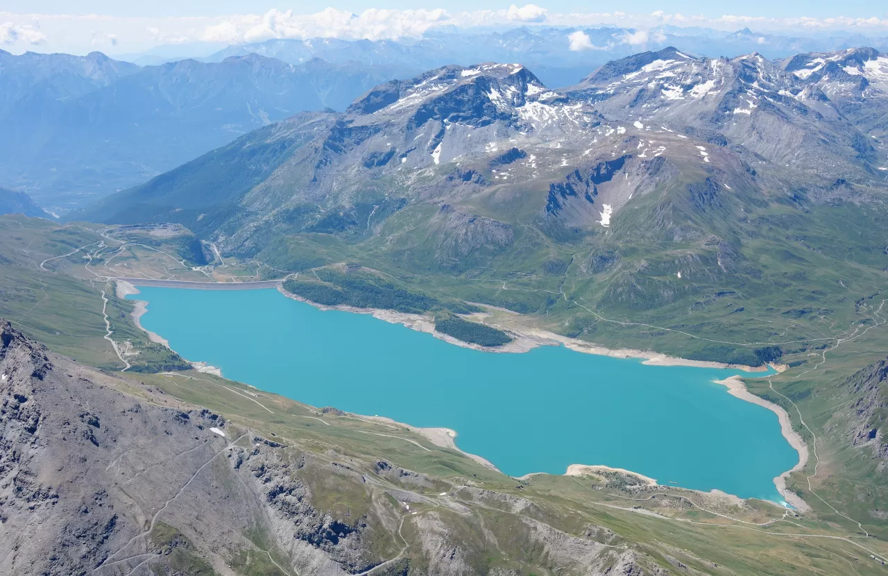
Mont Cenis Lake
No reviews yet
Do you like this place? Be the first to vote
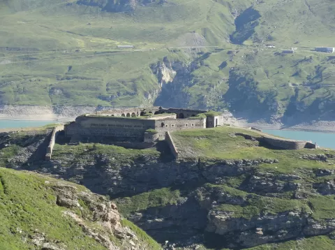
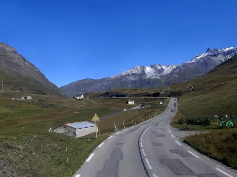
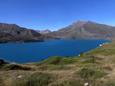
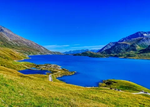
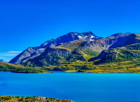
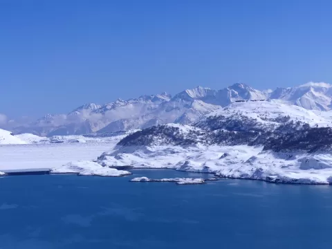
Mont Cenis Lake lies at 1,974 metres in the municipality of Val-Cenis, in Savoie, on the Italian side of the Mont-Cenis pass, which in the Middle Ages was the busiest route between Western Europe and Italy. The area passed to France under the Treaty of Paris of 1947.
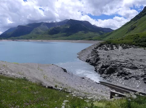
The present lake is a 6.68 km² reservoir created by the dam built by EDF between 1962 and 1968, one of the largest in France by volume. Beside it stand the pyramid-shaped concrete chapel of Notre-Dame-de-l'Assomption, consecrated in 1968, and an alpine garden from 1970 with some 700 species of mountain flowers.
As the water rose it submerged the hospice and its priory, along with centuries-old shepherds' huts. The village of Grand-Croix, at the foot of the dam, was abandoned after the works. Its waters flow out through the Cenise towards the Po.
What Mont Cenis Lake has to offer
More rivers and lakes in Savoie More viewpoints in Savoie
Best time to photograph Mont Cenis Lake today, 21 November
- Sunrise7:38 – 8:38golden hour
- Sunset15:57 – 16:57golden hour
- Blue hour16:57 – 17:29at dusk
At sunrise and sunset, low-angled light brings out the landscape's texture. Arrive 20 minutes early to get a good spot.
Hashtags for your photos of Mont Cenis Lake
Upload your photo with #fotoMap and help more people discover this spot. The one with the most votes becomes the cover photo.
Reviews of Mont Cenis Lake
Nobody has said what it's like yet. Have you been? Be the first to tell us.
Write a review