 See all 6 photos
Upload your photo
Maladeta
No reviews yet
Do you like this place? Be the first to vote
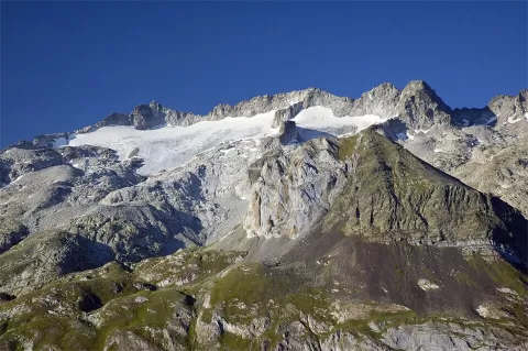
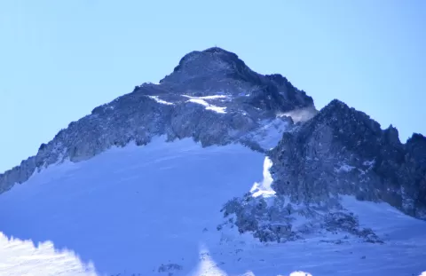
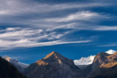
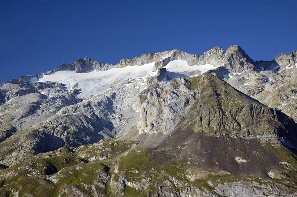
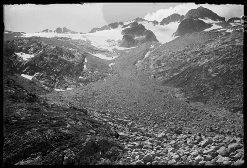
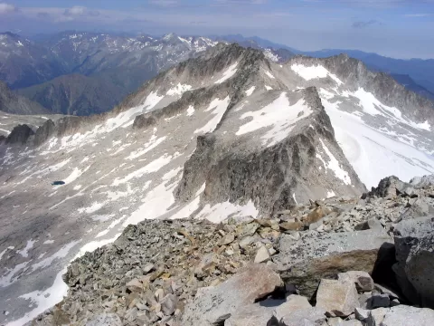
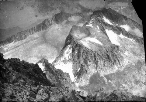
La Maladeta, Tuca d'A Maladeta in Aragonese, rises above 3,300 metres and is the summit that gives the massif its name, within the Posets-Maladeta Natural Park, in Benasque. It is joined to Aneto, to the east, by a ridge over 3,000 metres high, the Cresta del Medio. The massif has 46 three-thousanders.
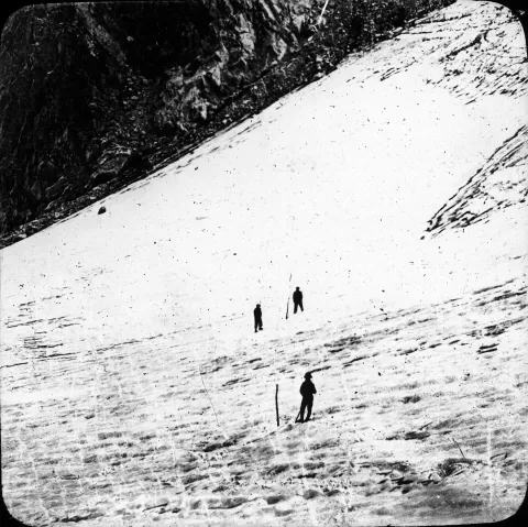
On its north face lies the Maladeta glacier, split in two and covering some 37 hectares; it is expected to disappear by around the mid-2030s. For a long time it was thought to be the highest peak in the area, and its first ascent was in 1817.
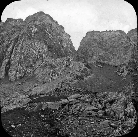
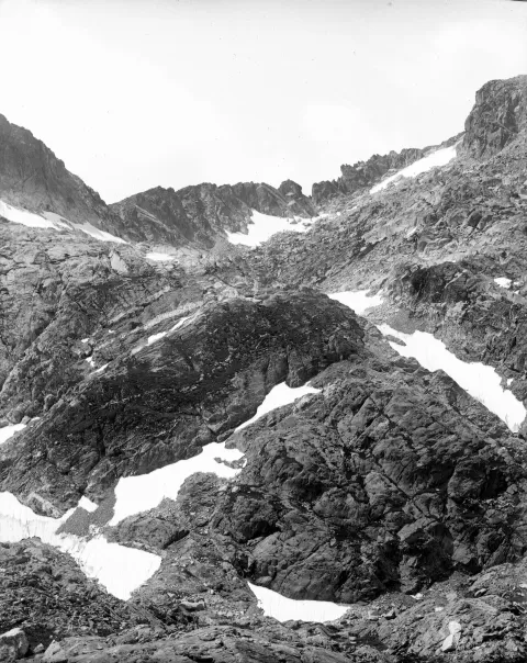
The usual route starts at La Besurta, passes the La Renclusa refuge and shares the path with the Aneto route as far as the upper Portillón; it then climbs a steep couloir where, outside winter, a bergschrund often opens. Experience is recommended.
What Maladeta has to offer
More viewpoints in Huesca More hiking trails in Huesca
Best time to photograph Maladeta today, 21 November
- Sunrise7:56 – 8:56golden hour
- Sunset16:30 – 17:30golden hour
- Blue hour17:30 – 18:00at dusk
At sunrise and sunset, low-angled light brings out the landscape's texture. Arrive 20 minutes early to get a good spot.
Hashtags for your photos of Maladeta
Upload your photo with #fotoMap and help more people discover this spot. The one with the most votes becomes the cover photo.
Reviews of Maladeta
Nobody has said what it's like yet. Have you been? Be the first to tell us.
Write a review