 See all 6 photos
Upload your photo
Macizo de Teno
No reviews yet
Do you like this place? Be the first to vote
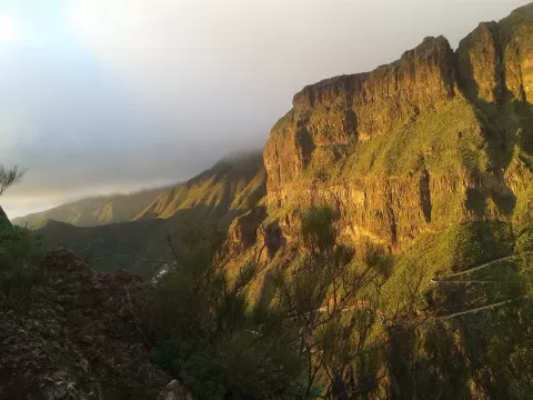
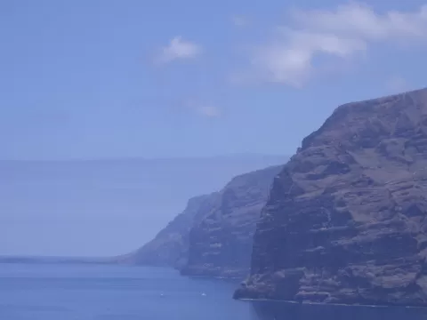
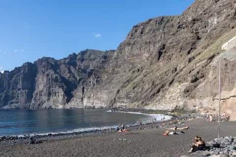
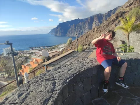
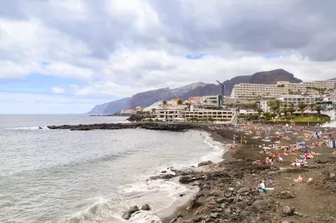
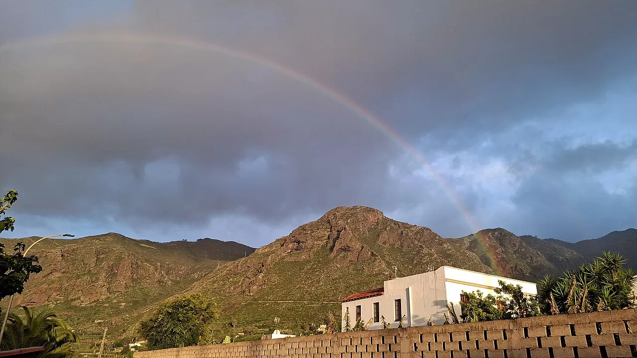
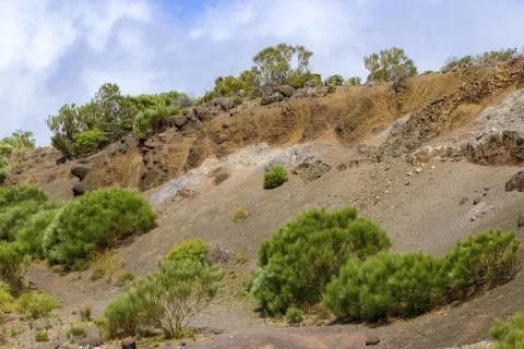
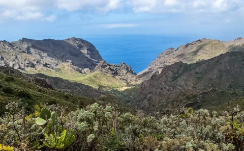
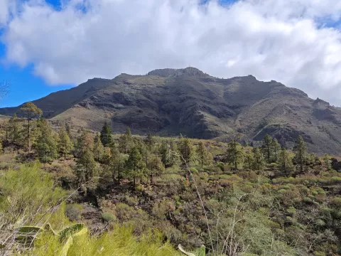
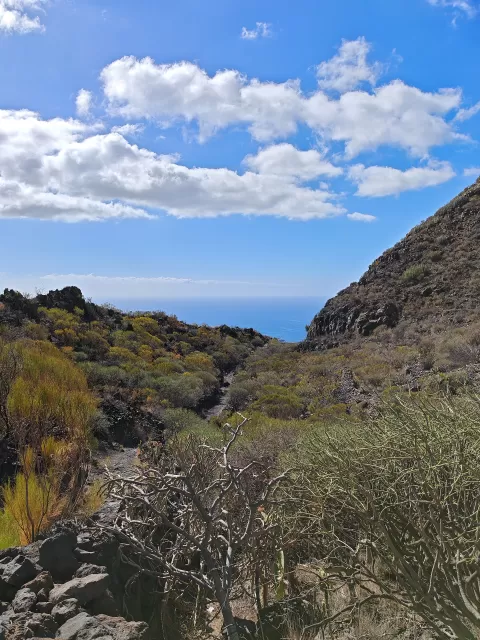
The Teno massif occupies the north-western tip of Tenerife and is one of the oldest parts of the island: its volcanic relief formed between 5 and 7 million years ago. Where it meets the sea it forms the cliffs of Los Gigantes, with walls up to 500 metres high. Much of it is protected as a rural park of 8,063 hectares, with laurel forest on Monte del Agua.
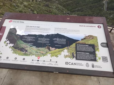
The massif is home to the hamlet of Masca, which keeps up traditional farming. Access to the road to Punta de Teno, the western tip of the island, is regulated; it is mostly done by bus from Buenavista del Norte, and it has been closed at times because of rockfalls.
Los Gigantes face west: the afternoon light falls on them head-on and they are best photographed from the sea or from the coast to the south. At Punta de Teno, the lighthouse with the massif behind it is the classic shot.
What Macizo de Teno has to offer
More viewpoints in Santa Cruz de Tenerife More caves and rock formations in Santa Cruz de Tenerife
Best time to photograph Macizo de Teno today, 21 November
- Sunrise7:34 – 8:34golden hour
- Sunset17:12 – 18:12golden hour
- Blue hour18:12 – 18:37at dusk
At sunrise and sunset, low-angled light brings out the landscape's texture. Arrive 20 minutes early to get a good spot.
Hashtags for your photos of Macizo de Teno
Upload your photo with #fotoMap and help more people discover this spot. The one with the most votes becomes the cover photo.
Reviews of Macizo de Teno
Nobody has said what it's like yet. Have you been? Be the first to tell us.
Write a review