 See all 6 photos
Upload your photo
Los Cerros de Alcalá
No reviews yet
Do you like this place? Be the first to vote
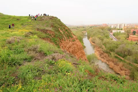
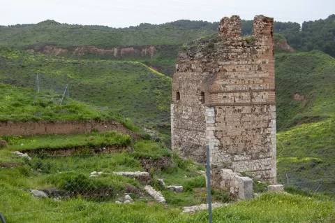
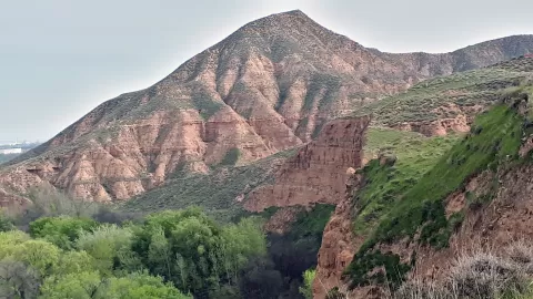
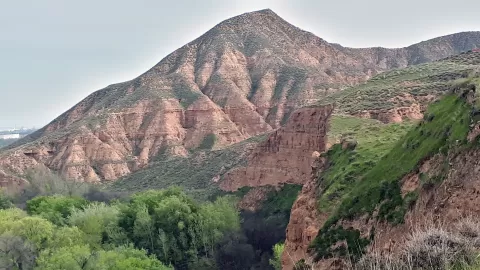
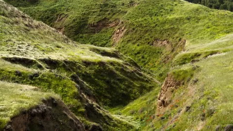
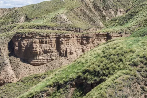
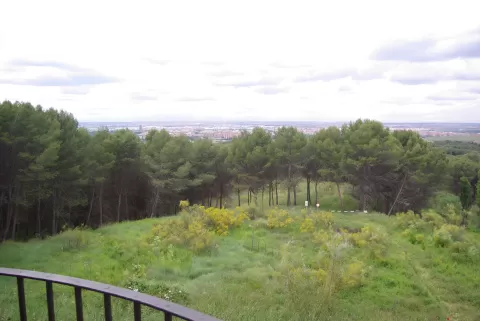
The Cerros de Alcalá, formerly the Montes de Valdealcalá, are a group of flat-topped hills south-east of the Henares river. They mark the natural boundary between the Alcarria de Alcalá and the Campiña. They are made of clay and gypsum, with very steep slopes rising from the riverbank, some almost vertical, and at the top they form a plateau. They reach 843 metres. The pre-Roman oppidum and the Andalusi fortress of Alcalá la Vieja once stood on them.
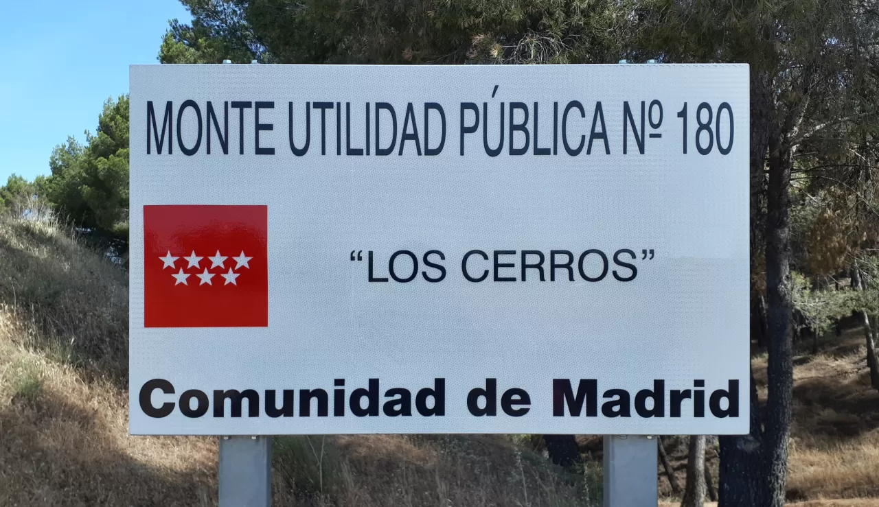
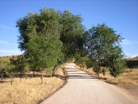
Since 2000 they have been designated public-interest woodland. Access is via the M-300, with a dirt car park on the Cuesta del Gurugú, opposite the Cementerio Jardín, or via the Zulema road.
The gullied slopes with the river below make the photo, best in afternoon light, which picks out the ravines. From the top you can see the whole of Alcalá on the river plain.
What Los Cerros de Alcalá has to offer
More viewpoints in Madrid More hiking trails in Madrid
Best time to photograph Los Cerros de Alcalá today, 21 November
- Sunrise8:06 – 9:06golden hour
- Sunset16:51 – 17:51golden hour
- Blue hour17:51 – 18:21at dusk
At sunrise and sunset, low-angled light brings out the landscape's texture. Arrive 20 minutes early to get a good spot.
Hashtags for your photos of Los Cerros de Alcalá
Upload your photo with #fotoMap and help more people discover this spot. The one with the most votes becomes the cover photo.
Reviews of Los Cerros de Alcalá
Nobody has said what it's like yet. Have you been? Be the first to tell us.
Write a review