 See all 4 photos
Upload your photo
Línea XYZ
No reviews yet
Do you like this place? Be the first to vote
- Monument
- Views
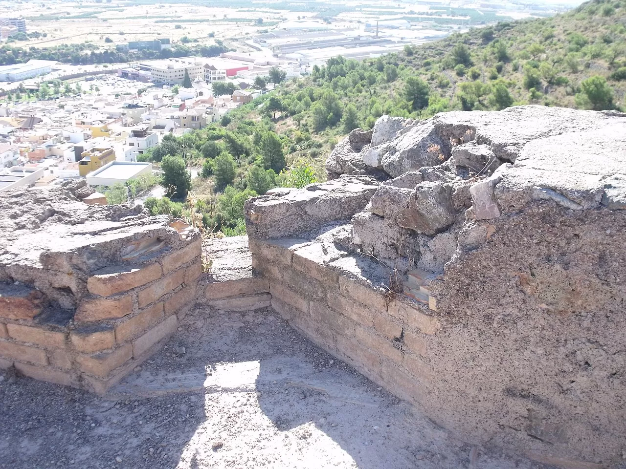
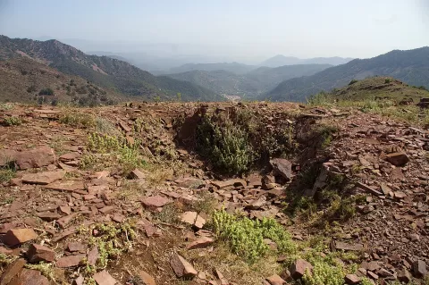
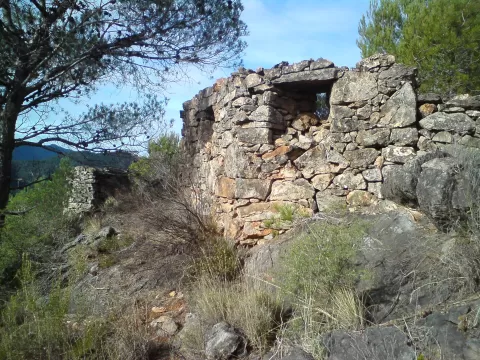
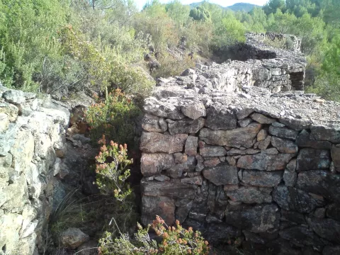
The XYZ Line, or Matallana Line, was the system of fortifications that the Republican army built in 1938 north of Valencia to halt the Levante Offensive. It ran from the coast, at La Llosa, to Santa Cruz de Moya, in Cuenca, and its centre was at Viver. Rather than bunkers, it consisted of dug-out trenches and shelters; on 13 July 1938 it withstood the first major attack.
Remains survive in many municipalities. In Jérica there are some three hundred fortifications, of which only fourteen are catalogued, and a route of about 13 km through La Vegatilla takes in trenches, shelters and parapets. Almenara has had an interpretation centre since 2019.
The dry-stone trenches and the parapets on the ridges read best in low light, early or late in the day, which traces the line of the ditches across the hillside.
More viewpoints in Valencia More monuments in Valencia
Best time to photograph Línea XYZ today, 21 November
- Sunrise7:54 – 8:54golden hour
- Sunset16:42 – 17:42golden hour
- Blue hour17:42 – 18:11at dusk
At sunrise and sunset, low-angled light brings out the landscape's texture. Arrive 20 minutes early to get a good spot.
Hashtags for your photos of Línea XYZ
Upload your photo with #fotoMap and help more people discover this spot. The one with the most votes becomes the cover photo.
Reviews of Línea XYZ
Nobody has said what it's like yet. Have you been? Be the first to tell us.
Write a review