 See all 5 photos
Upload your photo

Las Banderillas
No reviews yet
Do you like this place? Be the first to vote
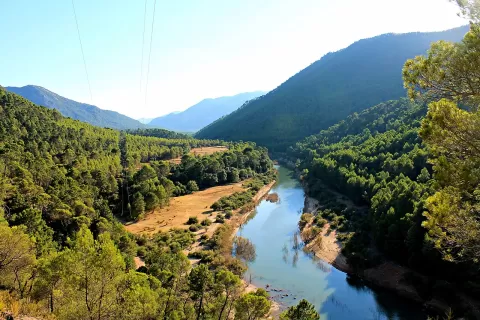
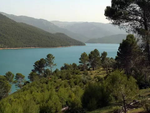
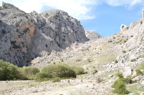
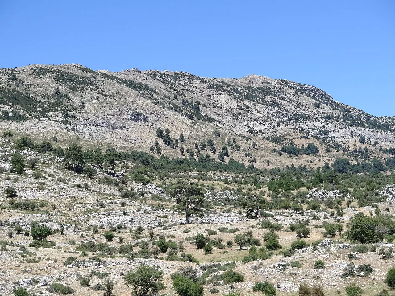
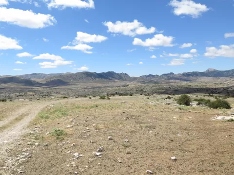
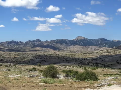
Las Banderillas, at 1,993 metres, is the highest summit of the Sierra de Segura, within the Sierras de Cazorla, Segura y Las Villas Natural Park. Its west face drops sheer to the valleys of the River Borosa, the Aguamulas and the Arroyo de la Campana; to the east it slopes gently down to Pinar Negro and the Campos de Hernán Pelea, the largest high plateau in Spain. Some 600 metres below the peak rises the Aguamulas, at 600 litres per second.
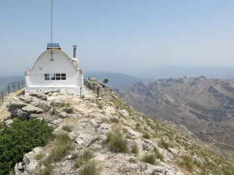
The most popular route starts by the River Borosa, next to the Fuente de los Astilleros, and climbs via the Villares de Borosa, the Collado de Roblehondo and the Tranco del Perro. The last stretch, along the ridge to the summit, is pathless. There is a fire lookout hut on the summit.
The contrast between the two sides is the photo: the cliff towards the Borosa and the plateau. In the afternoon the sun lights the west face.
What Las Banderillas has to offer
More viewpoints in Jaén More hiking trails in Jaén
Best time to photograph Las Banderillas today, 21 November
- Sunrise7:58 – 8:58golden hour
- Sunset16:55 – 17:55golden hour
- Blue hour17:55 – 18:24at dusk
At sunrise and sunset, low-angled light brings out the landscape's texture. Arrive 20 minutes early to get a good spot.
Hashtags for your photos of Las Banderillas
Upload your photo with #fotoMap and help more people discover this spot. The one with the most votes becomes the cover photo.
Reviews of Las Banderillas
Nobody has said what it's like yet. Have you been? Be the first to tell us.
Write a review