 See all 6 photos
Upload your photo
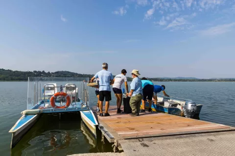
Lake Varese
No reviews yet
Do you like this place? Be the first to vote
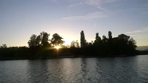
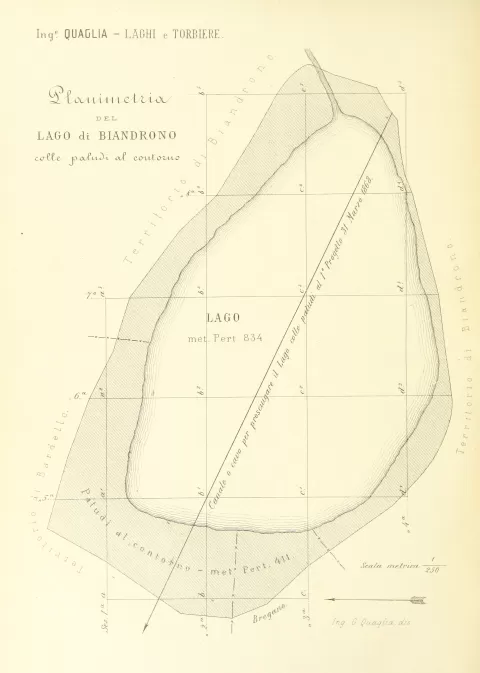
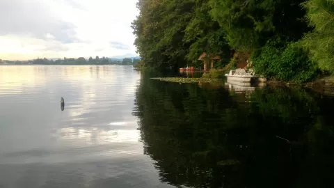
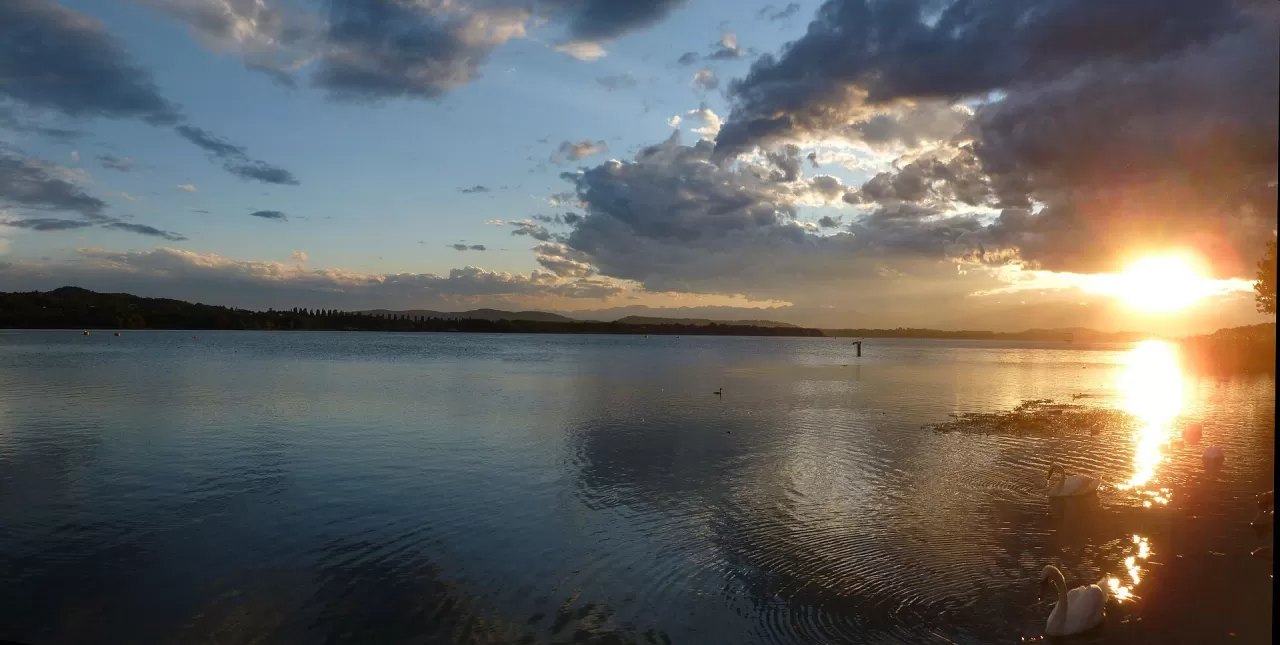
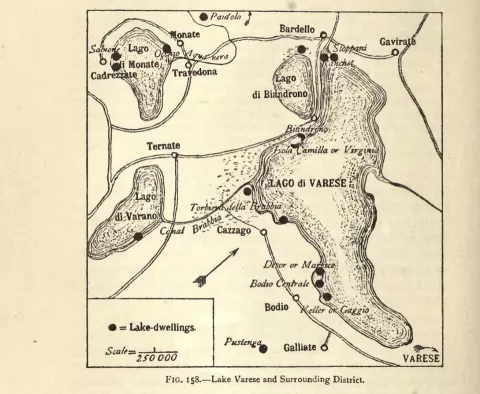
Lake Varese lies at an altitude of 238 metres, at the foot of the Varese Prealps, and covers about 14.5 km² with a maximum depth of only 26 metres. Nine municipalities border it, including Varese, Biandronno and Gavirate, which was for a long time the main one and gave it its former name, Lake Gavirate.
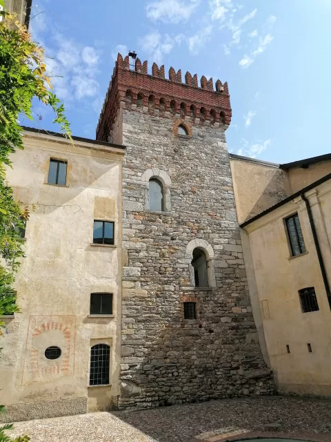
Its main point of interest is the Isolino Virginia, in the municipality of Biandronno, with the Ponti Museum. The lake is also a rowing course, home to Canottieri Varese and Canottieri Gavirate, and from Biandronno a path links up with the Lake Comabbio cycle path.
On the Isolino the remains of pile-dwelling settlements were found in 1863, and since 2011 the lake has been part of the Prehistoric Pile Dwellings around the Alps, a World Heritage Site. The island was called San Biagio and later Donna Camilla Litta, until in 1878 Andrea Ponti gave it his wife's name.
What Lake Varese has to offer
More rivers and lakes in Varese More viewpoints in Varese
Best time to photograph Lake Varese today, 21 November
- Sunrise7:33 – 8:33golden hour
- Sunset15:48 – 16:48golden hour
- Blue hour16:48 – 17:21at dusk
At sunrise and sunset, low-angled light brings out the landscape's texture. Arrive 20 minutes early to get a good spot.
Hashtags for your photos of Lake Varese
Upload your photo with #fotoMap and help more people discover this spot. The one with the most votes becomes the cover photo.
Reviews of Lake Varese
Nobody has said what it's like yet. Have you been? Be the first to tell us.
Write a review