 See all 6 photos
Upload your photo
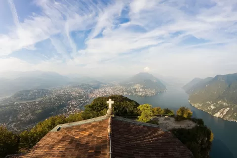
Lake Lugano
No reviews yet
Do you like this place? Be the first to vote
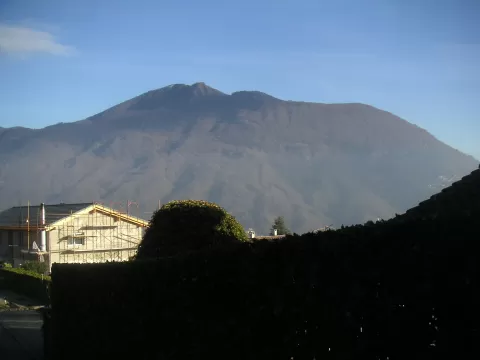
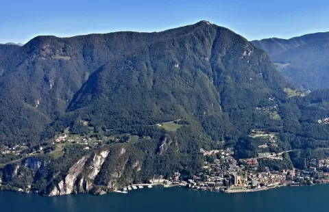
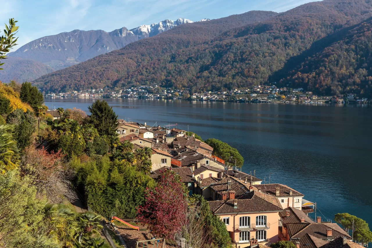
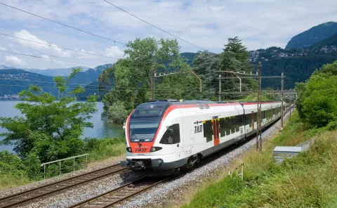
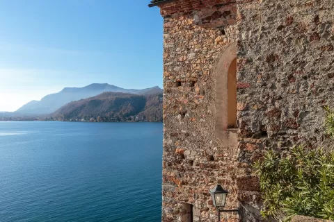
Lake Lugano, also called Ceresio, formed at the end of the last glaciation, about 10,000 years ago. It covers 48.7 km², of which about 18 km² are Italian, and has a perimeter of 76.7 km; its deepest point, at 288 metres, lies a few kilometres from Gandria. It takes its name from the Swiss city of Lugano, the largest on its shores.
Switzerland has the central part, with Lugano and Morcote; Italy has the north-eastern arm, with Porlezza and the Valsolda, and a stretch of the south-western shore with Porto Ceresio, Brusimpiano and Lavena Ponte Tresa. To the west it is drained by the Tresa river, which flows into Lake Maggiore.
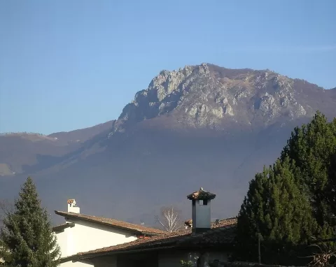
Its intricate shape, wedged between the Lombard Prealps, gives shores that change at every bend, with scenery resembling that of Lake Como on a smaller scale. A curiosity: Campione d'Italia, on the lakeshore, is an Italian enclave surrounded by Swiss territory.
What Lake Lugano has to offer
More rivers and lakes in Como More viewpoints in Como
Best time to photograph Lake Lugano today, 21 November
- Sunrise7:32 – 8:32golden hour
- Sunset15:47 – 16:47golden hour
- Blue hour16:47 – 17:19at dusk
At sunrise and sunset, low-angled light brings out the landscape's texture. Arrive 20 minutes early to get a good spot.
Hashtags for your photos of Lake Lugano
Upload your photo with #fotoMap and help more people discover this spot. The one with the most votes becomes the cover photo.
Reviews of Lake Lugano
Nobody has said what it's like yet. Have you been? Be the first to tell us.
Write a review