 See all 6 photos
Upload your photo
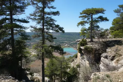
Laguna de Uña
No reviews yet
Do you like this place? Be the first to vote
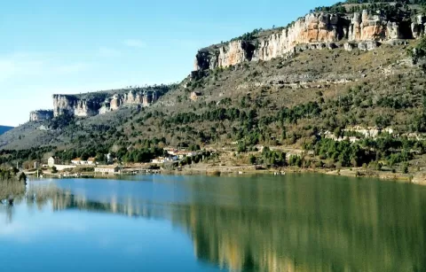
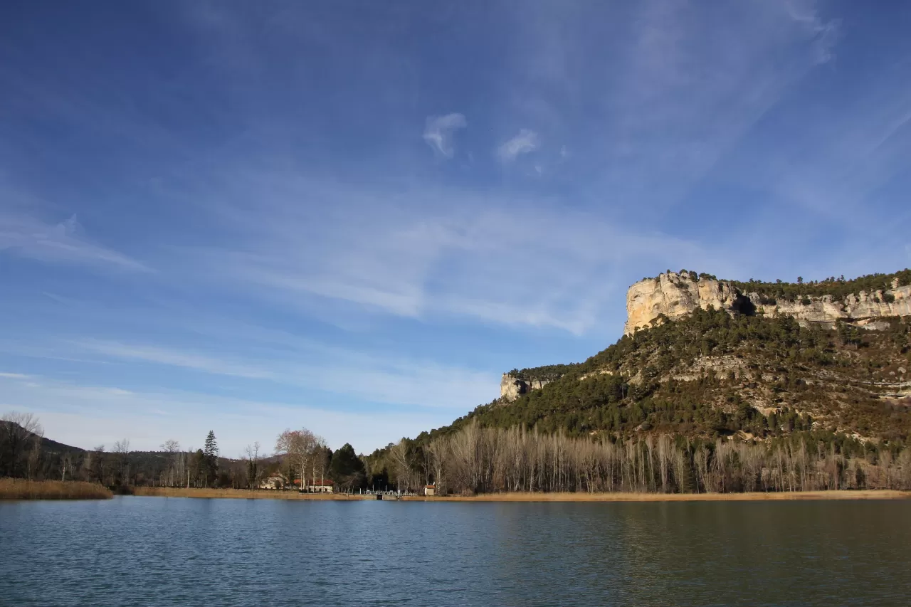
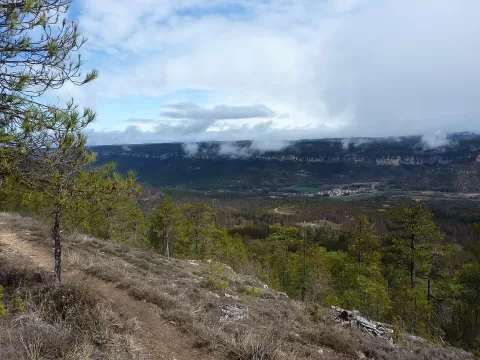
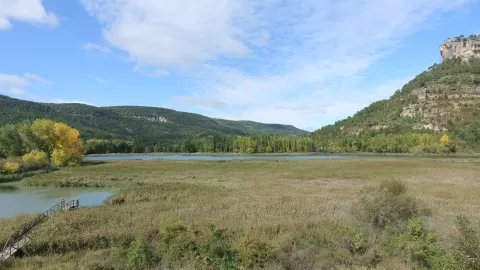
The Laguna de Uña formed when a natural dam blocked the Arroyo del Rincón, a tributary of the Júcar, and it was later raised to be used as a reservoir. It receives water through a channel from the La Toba reservoir. It covers about 15 hectares, is part of the Serranía de Cuenca Natural Park and has been a wildlife refuge since 1988.
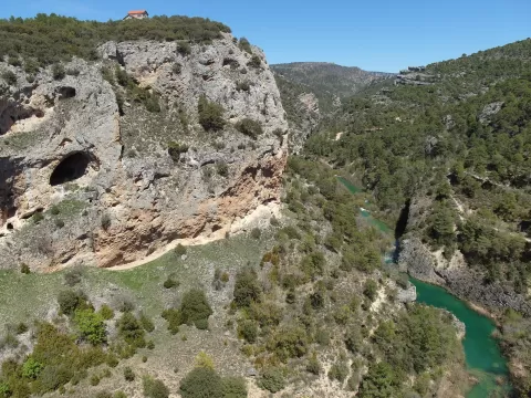
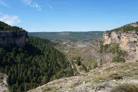
The viewpoint is next to the Uña Visitor Centre, with wooden boardwalks that reach a few metres into the lagoon. From there starts the PR-CU 37, Del Escalerón a La Raya, a circular route of about 9.5 kilometres that goes round the lagoon below the cliffs. It runs close to the edge of the rock face, so it is not recommended for anyone who suffers from vertigo.
The limestone walls are reflected in the water on still days, which are more common early in the morning. From the top of the Escalerón you can see the whole lagoon.
What Laguna de Uña has to offer
More rivers and lakes in Cuenca More viewpoints in Cuenca
Best time to photograph Laguna de Uña today, 21 November
- Sunrise8:00 – 9:00golden hour
- Sunset16:47 – 17:47golden hour
- Blue hour17:47 – 18:16at dusk
At sunrise and sunset, low-angled light brings out the landscape's texture. Arrive 20 minutes early to get a good spot.
Hashtags for your photos of Laguna de Uña
Upload your photo with #fotoMap and help more people discover this spot. The one with the most votes becomes the cover photo.
Reviews of Laguna de Uña
Nobody has said what it's like yet. Have you been? Be the first to tell us.
Write a review