 See all 4 photos
Upload your photo
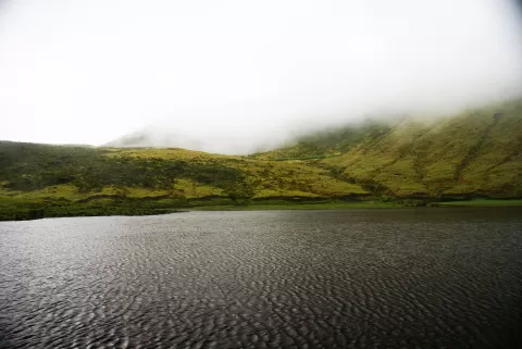
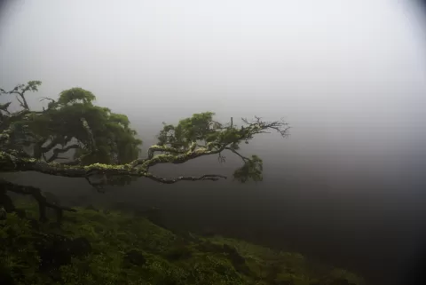
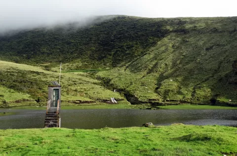
Lagoa do Paul
No reviews yet
Do you like this place? Be the first to vote
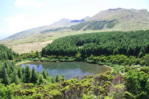
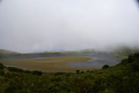
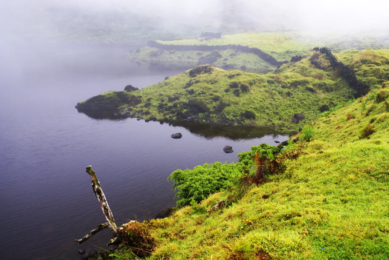
Lagoa do Paul lies in the highlands of the island of Pico, in the village of Ribeirinha, municipality of Lajes do Pico. It is at an altitude of about 790 metres, near Topo and the Caldeira de Santa Bárbara, within the Reserva Florestal Natural Parcial do Caveiro. The height of those hills condenses moisture on the slopes and helps keep water in the lake.
The Caminho das Lagoas trail (PR19 PIC), about 22 km from end to end, starts on the Estrada Transversal, passes the lakes of Caiado, Peixinho and José Inácio and reaches Paul before descending to Ribeirinha. To go straight there, the natural park signposts a left turn about 700 metres after the junction of the Longitudinal and the Transversal, heading towards Lajes.
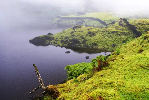
The water surrounded by the green of the hills is the typical image of Pico's interior.
What Lagoa do Paul has to offer
More rivers and lakes in the Azores More viewpoints in the Azores
Best time to photograph Lagoa do Paul today, 21 November
- Sunrise7:41 – 8:41golden hour
- Sunset16:36 – 17:36golden hour
- Blue hour17:36 – 18:05at dusk
At sunrise and sunset, low-angled light brings out the landscape's texture. Arrive 20 minutes early to get a good spot.
Hashtags for your photos of Lagoa do Paul
Upload your photo with #fotoMap and help more people discover this spot. The one with the most votes becomes the cover photo.
Reviews of Lagoa do Paul
Nobody has said what it's like yet. Have you been? Be the first to tell us.
Write a review