 See all 6 photos
Upload your photo
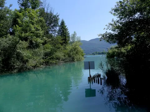
Lago de Aiguebelette
No reviews yet
Do you like this place? Be the first to vote
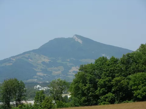
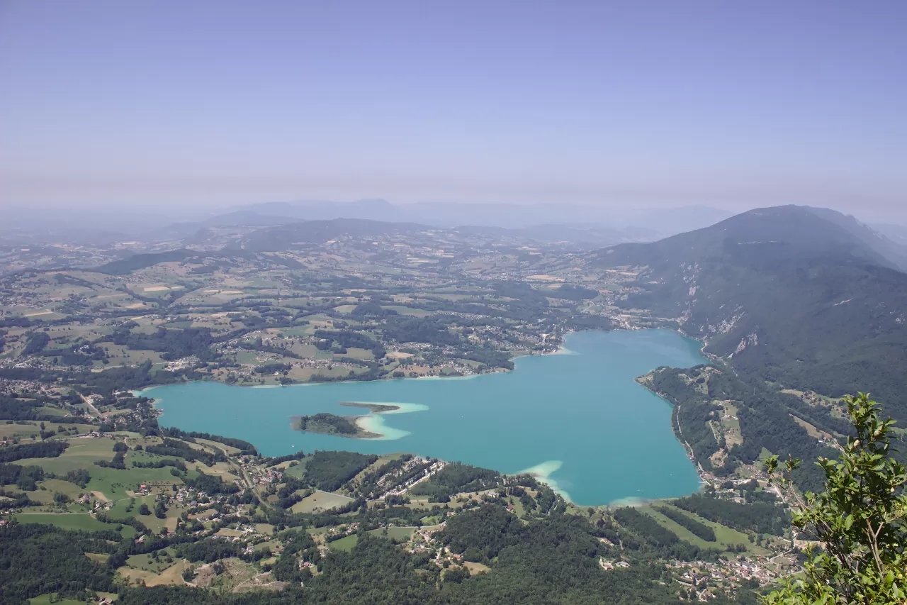
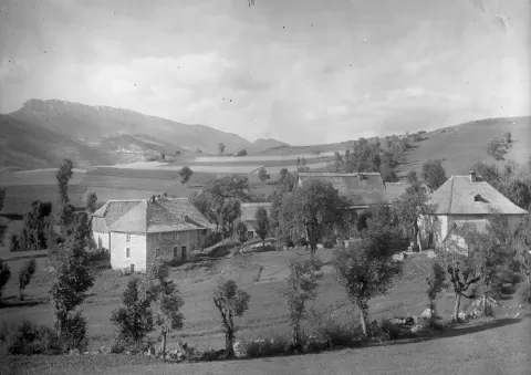
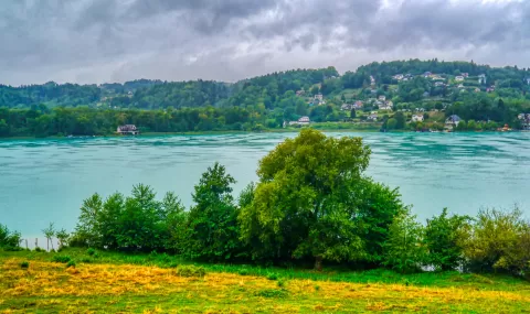
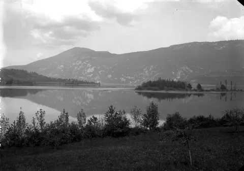
Lac d'Aiguebelette covers 5.45 km² at an altitude of 373 metres in Savoy and reaches a depth of 71 metres. It was carved out by the Würm glacier in the Quaternary, and to the east it is closed off by the Chaîne de l'Épine, which culminates in Mont Grelle, at 1,427 metres.
It is a private lake, owned by a family and by the electricity company EDF, and managed by the lake's association of municipalities. It is bordered by Aiguebelette-le-Lac, Lépin-le-Lac, Saint-Alban-de-Montbel, Novalaise and Nances; boats with combustion engines have been banned since 1976, and in 2015 it hosted the World Rowing Championships.
Its often green waters surround two islands with reed beds. At depth the temperature stays between 5 and 6 °C all year round.
What Lago de Aiguebelette has to offer
More rivers and lakes in Savoie More viewpoints in Savoie
Best time to photograph Lago de Aiguebelette today, 21 November
- Sunrise7:44 – 8:44golden hour
- Sunset16:01 – 17:01golden hour
- Blue hour17:01 – 17:33at dusk
At sunrise and sunset, low-angled light brings out the landscape's texture. Arrive 20 minutes early to get a good spot.
Hashtags for your photos of Lago de Aiguebelette
Upload your photo with #fotoMap and help more people discover this spot. The one with the most votes becomes the cover photo.
Reviews of Lago de Aiguebelette
Nobody has said what it's like yet. Have you been? Be the first to tell us.
Write a review