 See all 6 photos
Upload your photo
Lac de Saint-Point
No reviews yet
Do you like this place? Be the first to vote
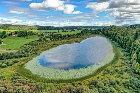
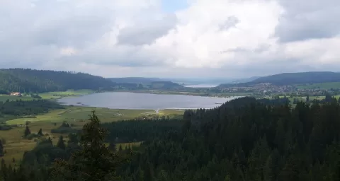
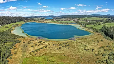
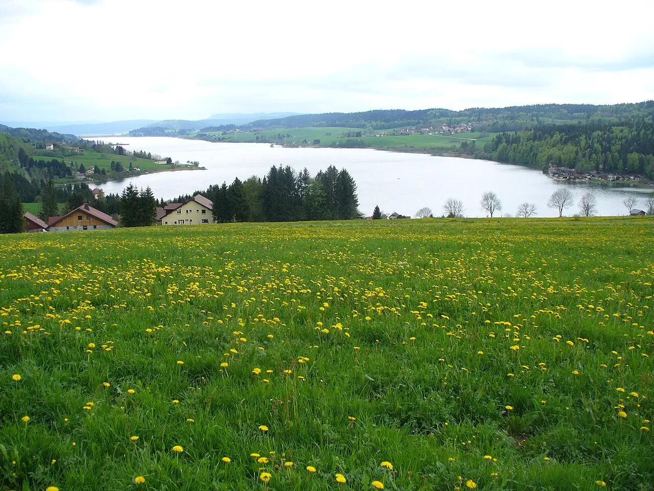
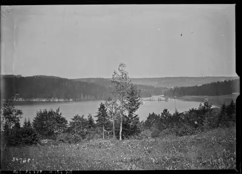
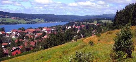
Lac de Saint-Point lies in the Jura mountains, in the Doubs, about 15 km from Pontarlier and at an altitude of 849 metres. It is 7.2 km long, about 800 metres wide and 5.2 km² in area, with a maximum depth of 43 metres. It is the largest natural lake in the French Jura and the river Doubs flows through it.
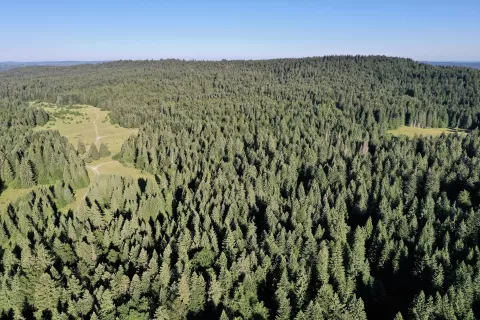
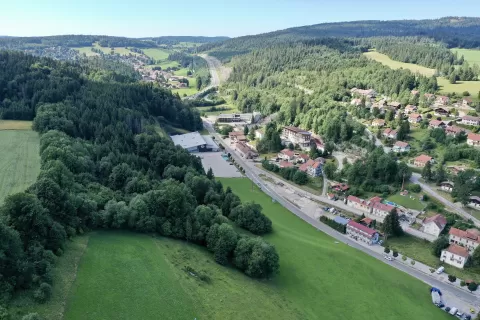
It is surrounded by six villages, including Malbuisson, the largest, and Saint-Point-Lac. Only sailing, rowing and electric motors are allowed, and on the shore is the Source Bleue, a karst spring of turquoise water. Since 2021 it has been part of a Ramsar site of peat bogs and lakes in the Jura.
It often freezes in winter and, when it freezes over completely, people walk across it and skate on it. Legend attributes the colour of the Source Bleue to the tears of Berthe de Joux.
What Lac de Saint-Point has to offer
More rivers and lakes in Doubs More viewpoints in Doubs
Best time to photograph Lac de Saint-Point today, 21 November
- Sunrise7:45 – 8:45golden hour
- Sunset15:55 – 16:55golden hour
- Blue hour16:55 – 17:28at dusk
At sunrise and sunset, low-angled light brings out the landscape's texture. Arrive 20 minutes early to get a good spot.
Hashtags for your photos of Lac de Saint-Point
Upload your photo with #fotoMap and help more people discover this spot. The one with the most votes becomes the cover photo.
Reviews of Lac de Saint-Point
Nobody has said what it's like yet. Have you been? Be the first to tell us.
Write a review