 See all 6 photos
Upload your photo
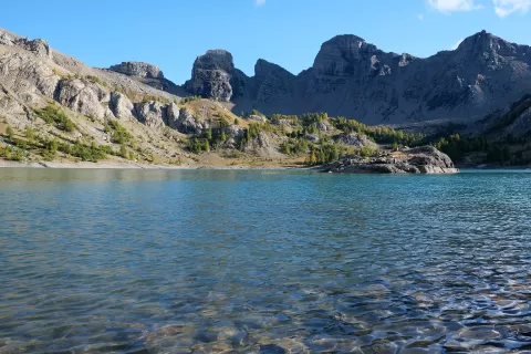
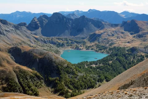
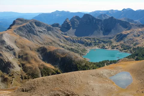
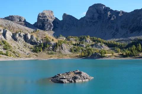
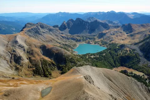
Lac d'Allos
No reviews yet
Do you like this place? Be the first to vote
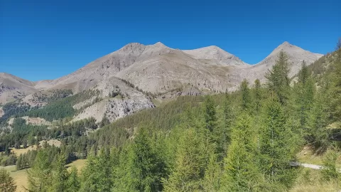
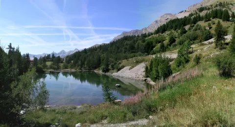
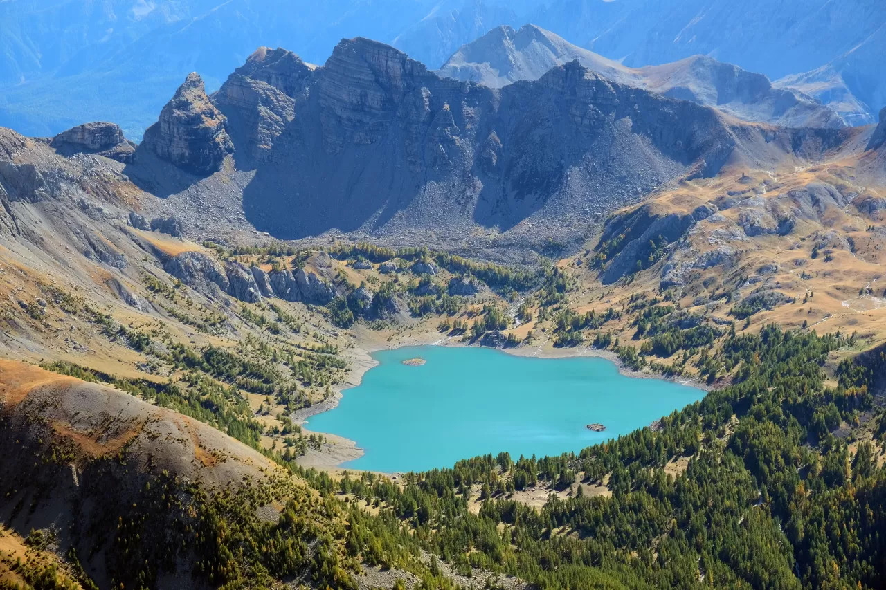
The Lac d'Allos lies at 2,230 metres above sea level in a cirque carved by the glaciers of the upper Verdon, in the municipality of Allos and within the Mercantour National Park. It measures 950 by 640 metres, about 43 hectares, reaches 50 metres in depth and is considered the largest natural high-mountain lake in Europe.
It is reached on foot from the car park on the Laus plateau, through the Cluite forest, on a walk of about two hours there and back; going round it takes about another hour. It is overlooked by Mont Pelat, 3,051 metres high.
It has no surface outlet: its waters leave through an underground passage to the Chadoulin spring, which flows into the Verdon. It holds trout and char, which were fished with nets until the park was created in 1979.
What Lac d'Allos has to offer
More rivers and lakes in Alpes-de-Haute-Provence More viewpoints in Alpes-de-Haute-Provence
Best time to photograph Lac d'Allos today, 21 November
- Sunrise7:36 – 8:36golden hour
- Sunset16:01 – 17:01golden hour
- Blue hour17:01 – 17:33at dusk
At sunrise and sunset, low-angled light brings out the landscape's texture. Arrive 20 minutes early to get a good spot.
Hashtags for your photos of Lac d'Allos
Upload your photo with #fotoMap and help more people discover this spot. The one with the most votes becomes the cover photo.
Reviews of Lac d'Allos
Nobody has said what it's like yet. Have you been? Be the first to tell us.
Write a review