 See all 6 photos
Upload your photo
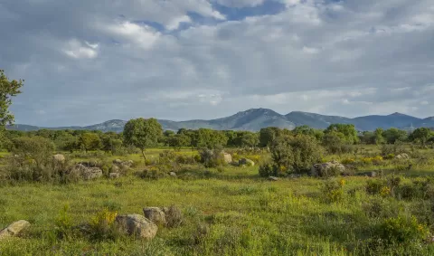
La Peñota
No reviews yet
Do you like this place? Be the first to vote
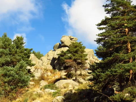
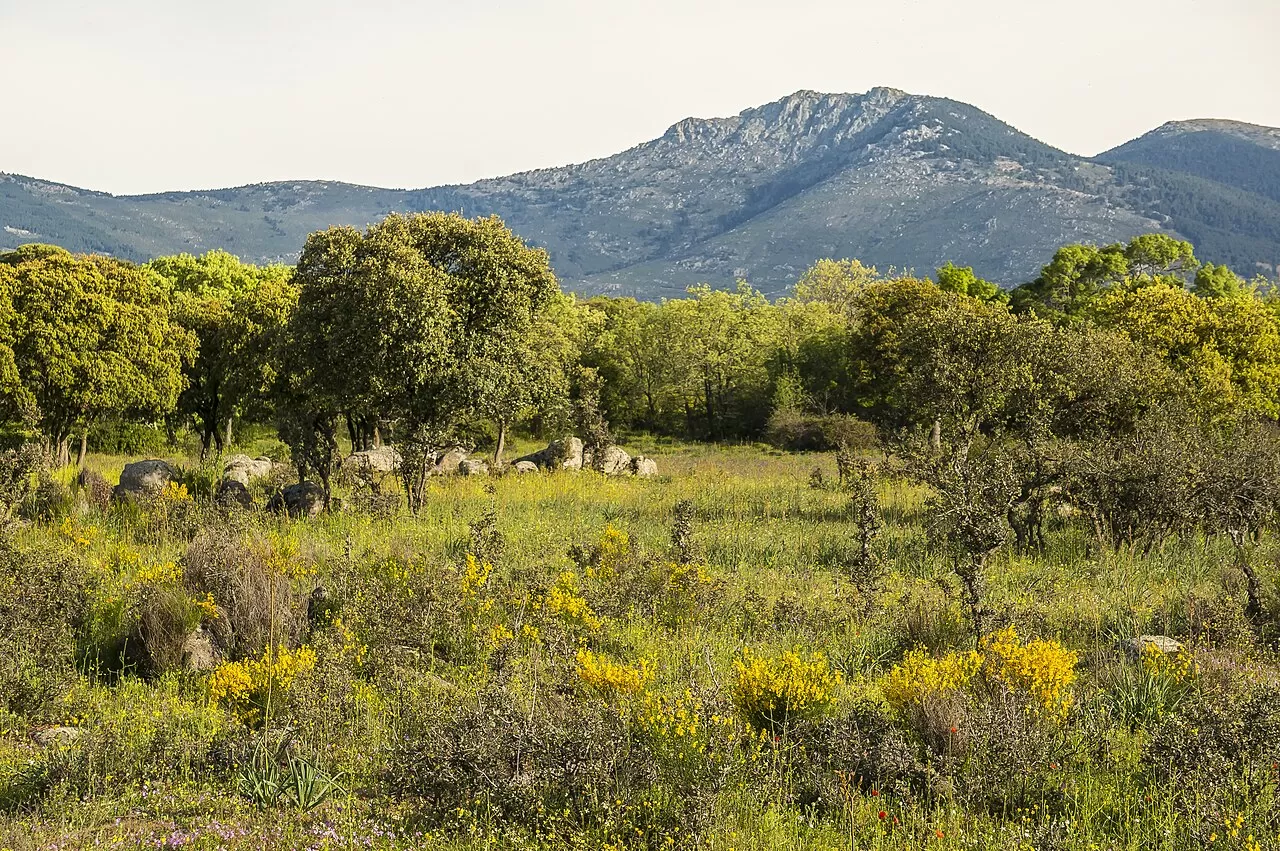
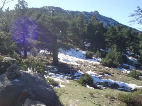
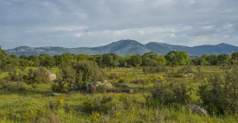
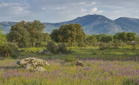
La Peñota is a 1945-metre mountain in the Sierra de Guadarrama, within the national park. It rises between the Puerto de Guadarrama, the Fuenfría valley and the valley of the River Moros, on the boundary between El Espinar (Segovia), Cercedilla and Los Molinos (Madrid). The top has three small granite summits; the central one, the highest, holds the trig point.
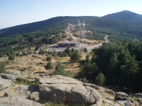
The most used ascent starts from Cercedilla station: with no technical difficulty but some 800 metres of ascent, it reaches the Collado de Cerromalejo (1774 m) and follows the ridge to the summit. It can also be climbed from the Alto del León. Both routes are part of the GR-10.
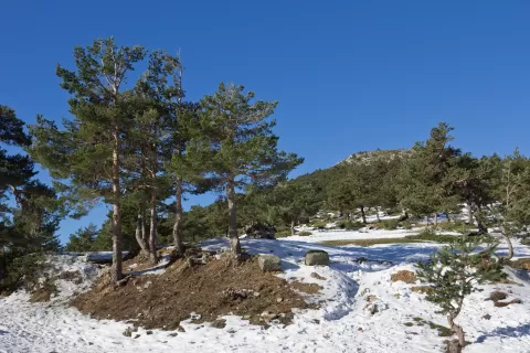
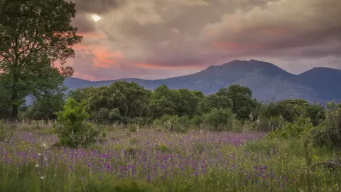
From the top you overlook much of the plains of Madrid and Segovia. At sunrise, the light comes from the Madrid side; at sunset, the sun goes down over the Segovian plateau and the pine forest on the north slope falls into shadow.
What La Peñota has to offer
More viewpoints in Segovia More hiking trails in Segovia
Best time to photograph La Peñota today, 21 November
- Sunrise8:10 – 9:10golden hour
- Sunset16:54 – 17:54golden hour
- Blue hour17:54 – 18:23at dusk
At sunrise and sunset, low-angled light brings out the landscape's texture. Arrive 20 minutes early to get a good spot.
Hashtags for your photos of La Peñota
Upload your photo with #fotoMap and help more people discover this spot. The one with the most votes becomes the cover photo.
Reviews of La Peñota
Nobody has said what it's like yet. Have you been? Be the first to tell us.
Write a review