 See all 6 photos
Upload your photo
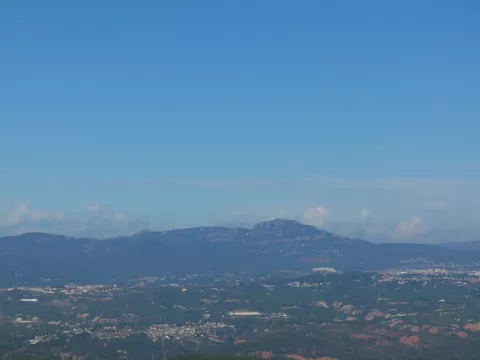
La Mola
No reviews yet
Do you like this place? Be the first to vote
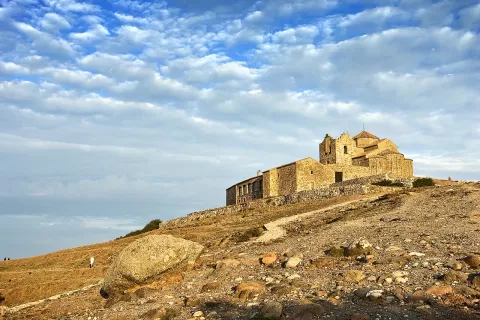
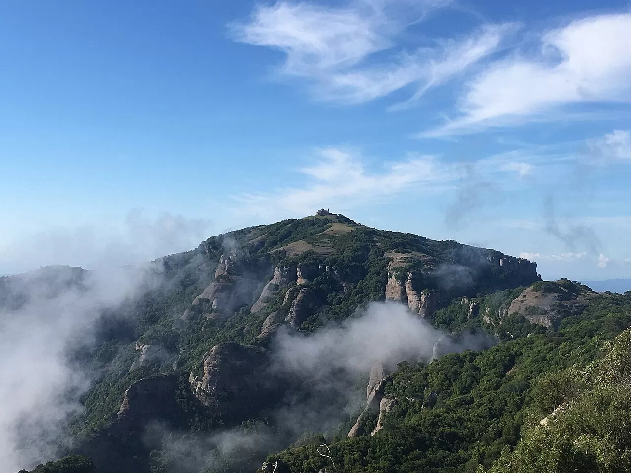
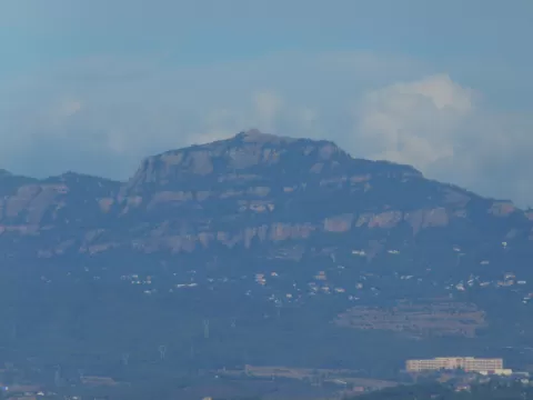
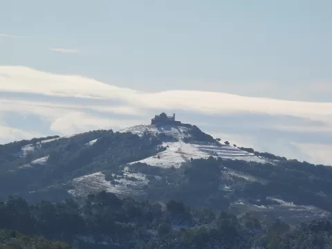
La Mola, at 1,104 metres, is the highest summit in the Sant Llorenç del Munt i l'Obac Natural Park, in the Vallès Occidental. It lies in the municipality of Matadepera, between the Riera de les Arenes and the Ripoll, and separates the Llobregat and Besòs basins. It is made of conglomerate, with sandstones and mudstones.
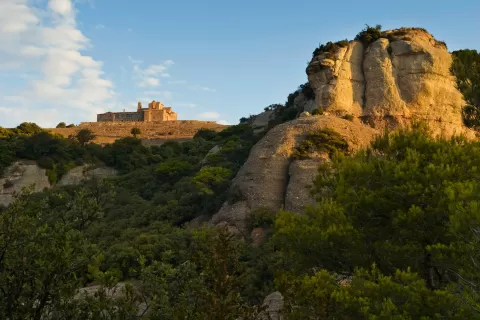
On the summit stands the Romanesque monastery of Sant Llorenç del Munt, with a restaurant and bar. The classic walking routes start from Matadepera along the Camí dels Monjos or from Can Robert; the latter, the SL-C50, is 7 km long.
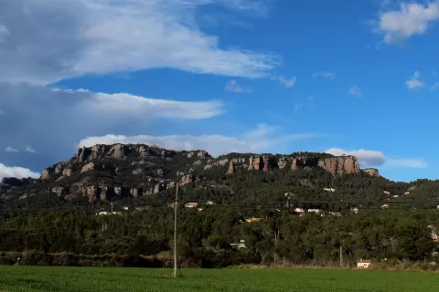
Uneven erosion of the layers leaves crags alternating with gentle bands, a texture brought out by side light. From the plain, the silhouette of La Mola with the monastery on top is one of the profiles that define the Vallès.
What La Mola has to offer
More viewpoints in Barcelona More hiking trails in Barcelona
Best time to photograph La Mola today, 21 November
- Sunrise7:48 – 8:48golden hour
- Sunset16:27 – 17:27golden hour
- Blue hour17:27 – 17:57at dusk
At sunrise and sunset, low-angled light brings out the landscape's texture. Arrive 20 minutes early to get a good spot.
Hashtags for your photos of La Mola
Upload your photo with #fotoMap and help more people discover this spot. The one with the most votes becomes the cover photo.
Reviews of La Mola
Nobody has said what it's like yet. Have you been? Be the first to tell us.
Write a review