 See all 6 photos
Upload your photo
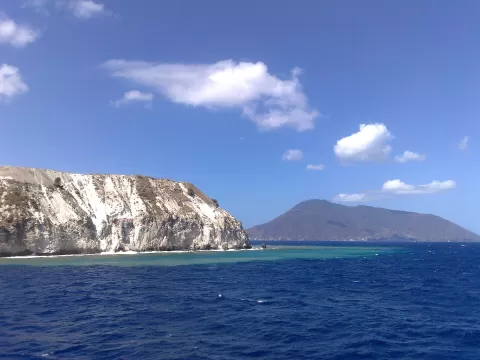
Isla de Salina
No reviews yet
Do you like this place? Be the first to vote
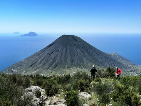
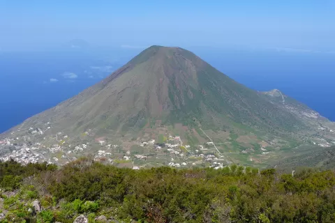
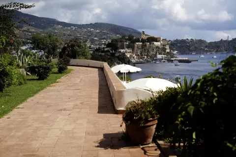
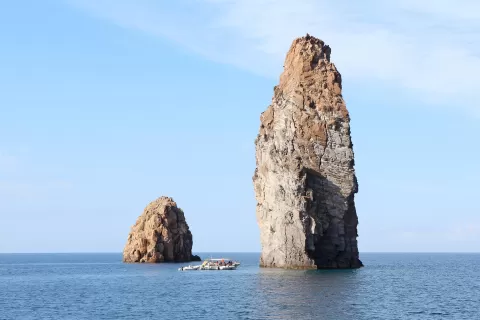
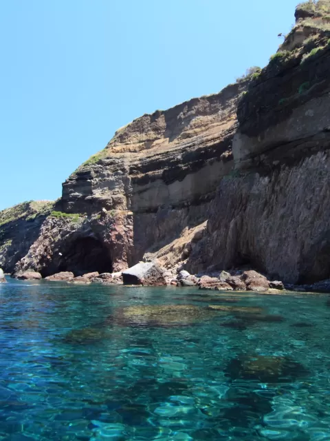
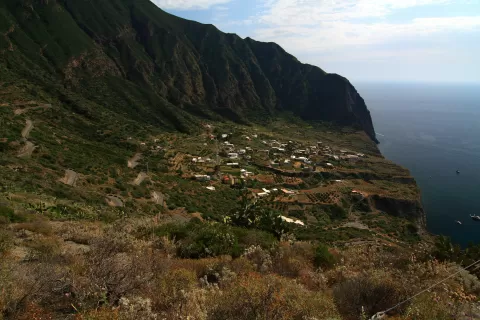
Salina is an island of about 26 km² in the Aeolian archipelago, north of Sicily, declared a World Heritage Site in 2000. It is formed by two ancient volcanoes, Fossa delle Felci, 961 metres high, and Monte dei Porri, 860, which gave it its Greek name, Didyme, the twins.
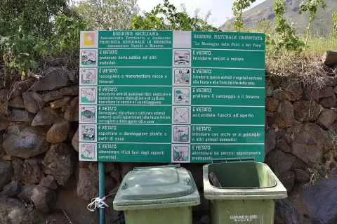
It has about 2,300 inhabitants spread across three municipalities: Santa Marina Salina, Malfa and Leni. A nature reserve created in 1981 protects the two mountains, with more than 400 plant species, and a scenic path links Malfa with Pollara.
Its present name comes from a small lake from which salt was extracted. The island produces Malvasia delle Lipari wine and capers exported all over the world, and its slopes still have terraced vineyards.
What Isla de Salina has to offer
More viewpoints in Messina More beaches and coves in Messina
Best time to photograph Isla de Salina today, 21 November
- Sunrise6:48 – 7:48golden hour
- Sunset15:43 – 16:43golden hour
- Blue hour16:43 – 17:12at dusk
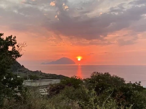
At sunset the sea turns orange; at low tide you get reflections on the wet sand.
Hashtags for your photos of Isla de Salina
Upload your photo with #fotoMap and help more people discover this spot. The one with the most votes becomes the cover photo.
Reviews of Isla de Salina
Nobody has said what it's like yet. Have you been? Be the first to tell us.
Write a review