 See all 6 photos
Upload your photo
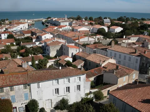
Isla de Ré
No reviews yet
Do you like this place? Be the first to vote
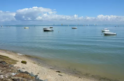
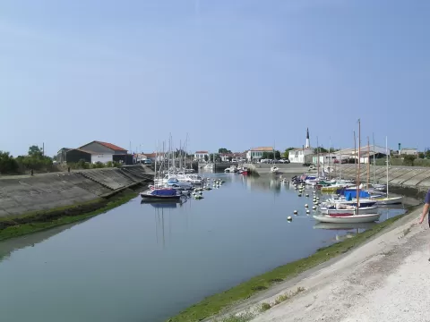
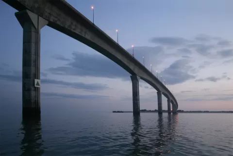
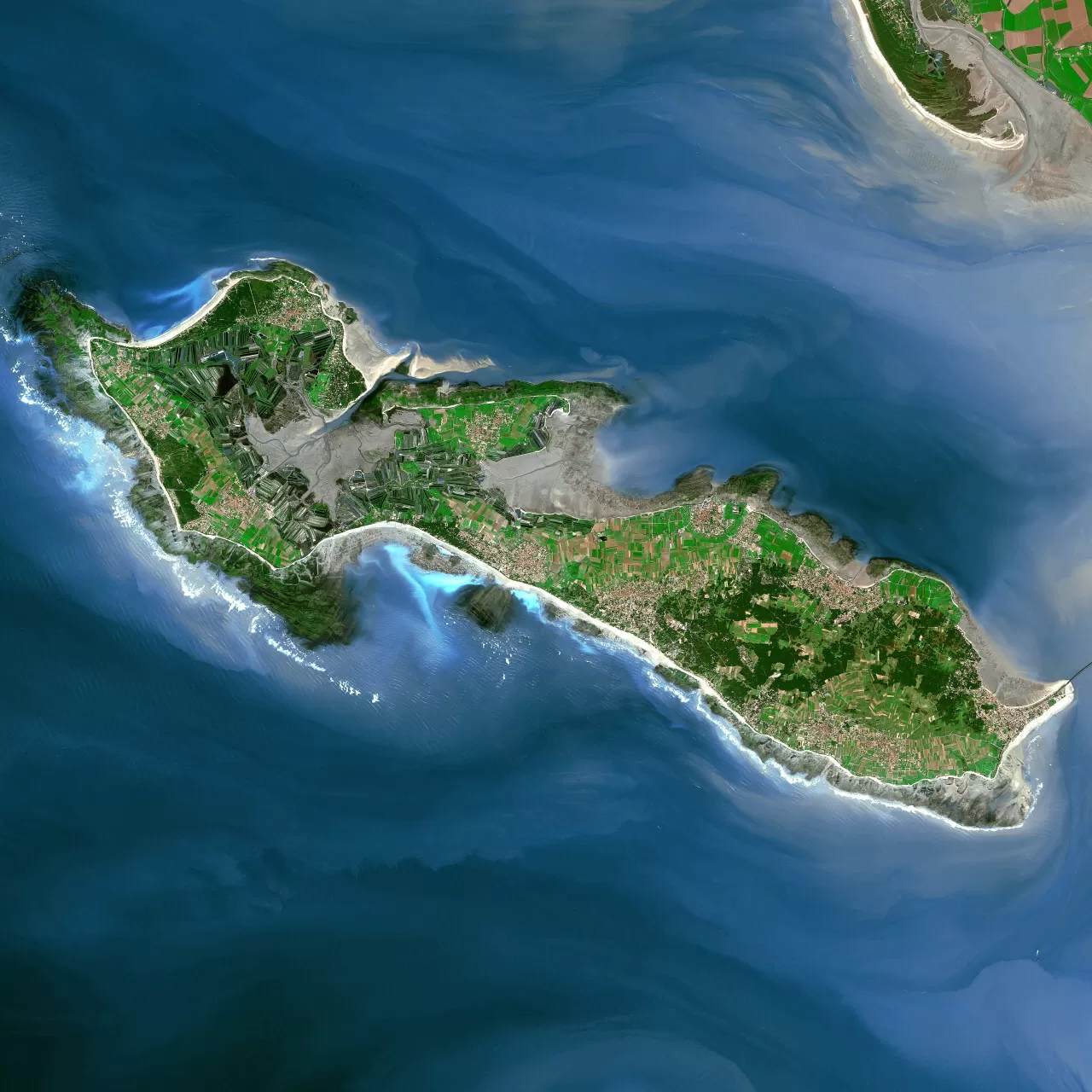
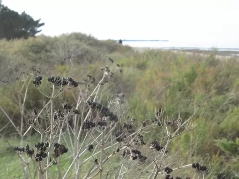
The Île de Ré, in Charente-Maritime, covers about 85 km², 24.6 km long and between 1.3 and 5.9 km wide, with almost 100 km of coastline; it is the fourth-largest island in metropolitan France. Since 19 May 1988 a bridge of about 3 km has linked it to the mainland.
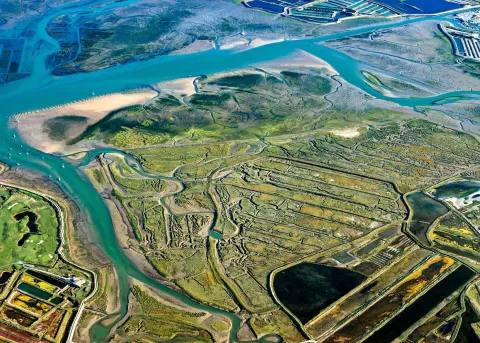
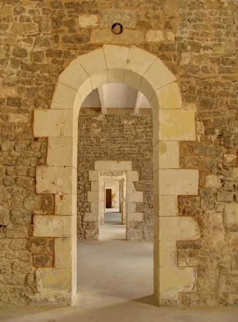
In Saint-Martin-de-Ré, Vauban's fortifications, with the rampart, its two gates and the citadel, are a World Heritage Site. To the north-west lies the Fier d'Ars, a bay of 800 hectares, and at La Couarde, Loix and Ars-en-Ré the salt pans, for centuries one of the island's main resources, are still worked. Part of the cycle paths follows the route of the old island railway.
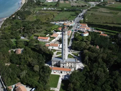
The 15th-century tower of the church of Saint-Étienne in Ars-en-Ré served as a landmark for fishermen out at sea. At the Pointe des Baleines, the 1853 lighthouse is 57 metres tall.
What Isla de Ré has to offer
More viewpoints in Charente-Maritime More beaches and coves in Charente-Maritime
Best time to photograph Isla de Ré today, 21 November
- Sunrise8:14 – 9:14golden hour
- Sunset16:28 – 17:28golden hour
- Blue hour17:28 – 18:01at dusk
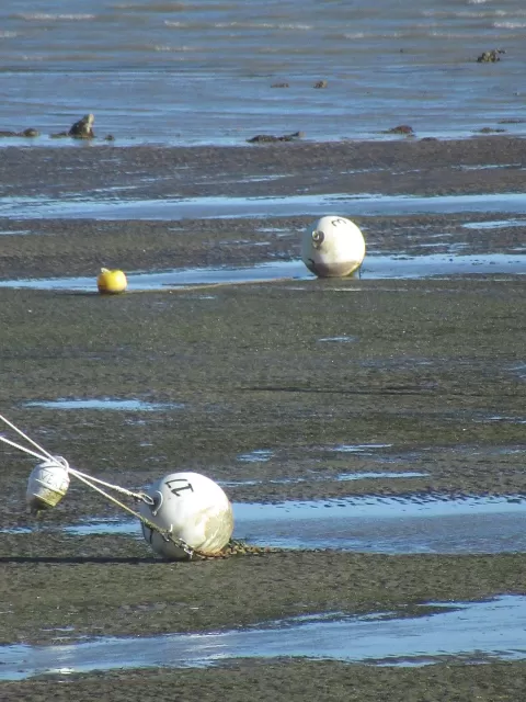
At sunset the sea turns orange; at low tide you get reflections on the wet sand.
Hashtags for your photos of Isla de Ré
Upload your photo with #fotoMap and help more people discover this spot. The one with the most votes becomes the cover photo.
Reviews of Isla de Ré
Nobody has said what it's like yet. Have you been? Be the first to tell us.
Write a review