 See all 6 photos
Upload your photo
Isla de Noirmoutier
No reviews yet
Do you like this place? Be the first to vote
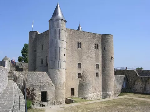
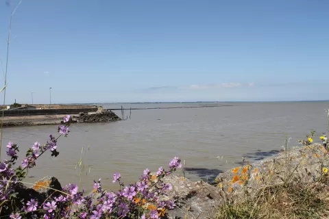
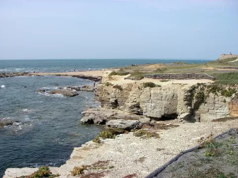
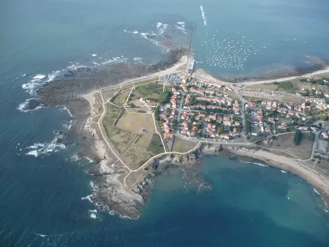
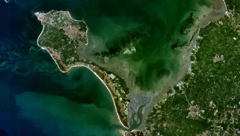
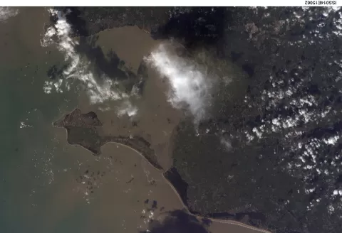
The Île de Noirmoutier lies south of the mouth of the Loire, in the Bay of Bourgneuf, and belongs to the Vendée. It is about 25 km long, between 500 metres and 15 km wide, and covers 4,877 hectares divided among four municipalities. Since 1971 a bridge has linked it to the mainland.
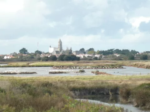
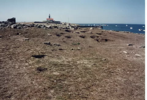
The best-known access is the Passage du Gois, a causeway of about 4.5 km that is submerged at high tide and can only be crossed at low tide. The island combines a rocky islet in the north, where Noirmoutier-en-l'Île stands, lines of dunes to the south and west, marshes, salt pans and polders.
It is called the island of mimosas because its mild climate makes them bloom even in winter. Since 2017 its marshes have been part of a Ramsar site together with the Marais breton and the Bay of Bourgneuf.
What Isla de Noirmoutier has to offer
More viewpoints in Vendée More beaches and coves in Vendée
Best time to photograph Isla de Noirmoutier today, 21 November
- Sunrise8:20 – 9:20golden hour
- Sunset16:28 – 17:28golden hour
- Blue hour17:28 – 18:02at dusk
At sunset the sea turns orange; at low tide you get reflections on the wet sand.
Hashtags for your photos of Isla de Noirmoutier
Upload your photo with #fotoMap and help more people discover this spot. The one with the most votes becomes the cover photo.
Reviews of Isla de Noirmoutier
Nobody has said what it's like yet. Have you been? Be the first to tell us.
Write a review