 See all 6 photos
Upload your photo
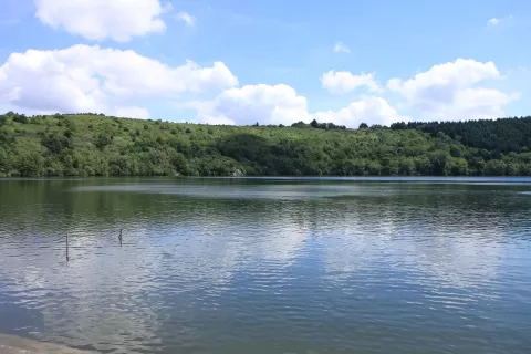
Gour de Tazenat
No reviews yet
Do you like this place? Be the first to vote
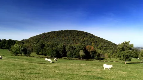
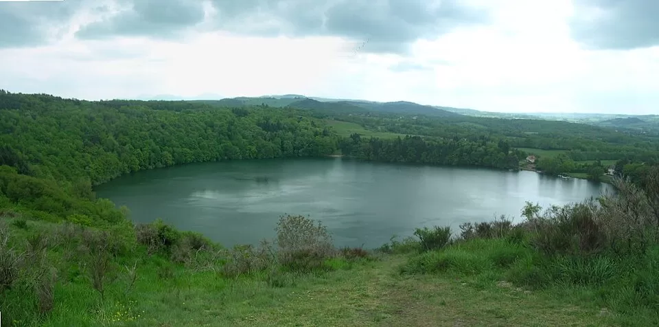
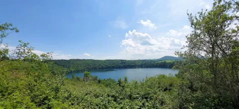
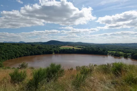
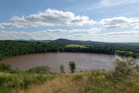
The Gour de Tazenat is a maar: a crater opened by a phreatomagmatic explosion at least 29,000 years ago and later filled with rainwater. It lies in Charbonnières-les-Vieilles, in the north of the Puy-de-Dôme, about 20 km north-west of Riom, and marks the northern end of the Chaîne des Puys.
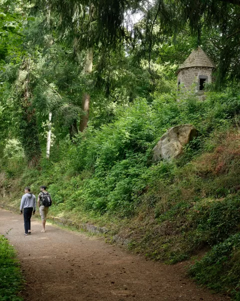
The lake is 66 metres deep and the crater averages about 700 metres in diameter. A 2.8 km path, sometimes flat and sometimes steep, goes all the way round the shore. Boating is prohibited.
The shores are wooded and drop steeply, with a height difference of about 50 metres, except to the north and north-east, where the rim opens out. The Occitan name is Gorg de Tasanat, and Tasanat is thought to come from the Gaulish Tasgunnacon, 'badger's sett'.
What Gour de Tazenat has to offer
More rivers and lakes in Puy-de-Dôme More viewpoints in Puy-de-Dôme
Best time to photograph Gour de Tazenat today, 21 November
- Sunrise7:56 – 8:56golden hour
- Sunset16:11 – 17:11golden hour
- Blue hour17:11 – 17:43at dusk
At sunrise and sunset, low-angled light brings out the landscape's texture. Arrive 20 minutes early to get a good spot.
Hashtags for your photos of Gour de Tazenat
Upload your photo with #fotoMap and help more people discover this spot. The one with the most votes becomes the cover photo.
Reviews of Gour de Tazenat
Nobody has said what it's like yet. Have you been? Be the first to tell us.
Write a review